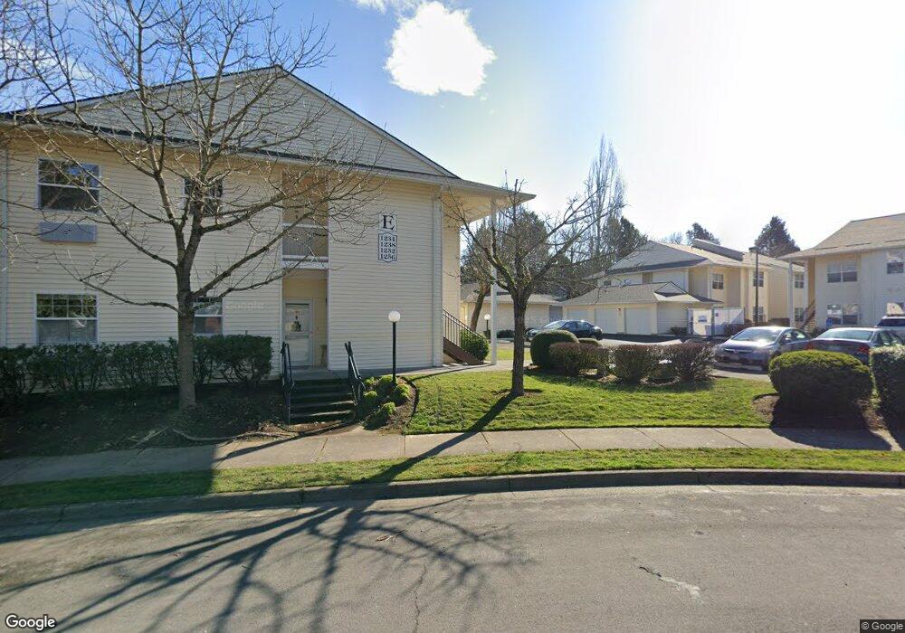
1234 NE Palmblad Dr Unit 901 Gresham, OR 97030
Northeast Gresham NeighborhoodEstimated Value: $264,756 - $285,000
2
Beds
2
Baths
1,267
Sq Ft
$217/Sq Ft
Est. Value
About This Home
This home is located at 1234 NE Palmblad Dr Unit 901, Gresham, OR 97030 and is currently estimated at $274,878, approximately $216 per square foot. 1234 NE Palmblad Dr Unit 901 is a home located in Multnomah County with nearby schools including Hall Elementary School, Gordon Russell Middle School, and Sam Barlow High School.
Ownership History
Date
Name
Owned For
Owner Type
Purchase Details
Closed on
Jul 27, 2005
Sold by
Moore Janet L
Bought by
Bergeron Suzanne C
Current Estimated Value
Purchase Details
Closed on
Oct 16, 2002
Sold by
Division Street Manor Llc
Bought by
Moore Janet L
Home Financials for this Owner
Home Financials are based on the most recent Mortgage that was taken out on this home.
Original Mortgage
$80,000
Interest Rate
6.05%
Create a Home Valuation Report for This Property
The Home Valuation Report is an in-depth analysis detailing your home's value as well as a comparison with similar homes in the area
Home Values in the Area
Average Home Value in this Area
Purchase History
| Date | Buyer | Sale Price | Title Company |
|---|---|---|---|
| Bergeron Suzanne C | $165,000 | Transnation Title Agency Or | |
| Moore Janet L | $129,500 | Pacific Nw Title |
Source: Public Records
Mortgage History
| Date | Status | Borrower | Loan Amount |
|---|---|---|---|
| Previous Owner | Moore Janet L | $80,000 |
Source: Public Records
Tax History
| Year | Tax Paid | Tax Assessment Tax Assessment Total Assessment is a certain percentage of the fair market value that is determined by local assessors to be the total taxable value of land and additions on the property. | Land | Improvement |
|---|---|---|---|---|
| 2025 | $3,016 | $148,210 | -- | $148,210 |
| 2024 | $2,887 | $143,900 | -- | $143,900 |
| 2023 | $2,630 | $139,710 | $0 | $139,710 |
| 2022 | $2,557 | $135,650 | $0 | $0 |
| 2021 | $2,493 | $131,700 | $0 | $0 |
| 2020 | $2,345 | $127,870 | $0 | $0 |
| 2019 | $2,284 | $124,150 | $0 | $0 |
| 2018 | $2,178 | $120,540 | $0 | $0 |
| 2017 | $2,090 | $117,030 | $0 | $0 |
| 2016 | $1,842 | $113,630 | $0 | $0 |
Source: Public Records
Map
Nearby Homes
- 2980 NE Division St Unit 31
- 2980 NE Division St Unit 13
- 2980 NE Division St Unit 43
- 1350 NE Cochran Dr
- 1500 NE Paropa Ct Unit 1
- 1553 NE Hale Place Unit 1
- 1537 NE Kane Dr Unit 2
- 2811 NE 6th St
- 863 NE Fleming Ave Unit B10
- 445 NE Village Squire Ave Unit 4
- 579 NE Fleming Ave Unit C41
- 569 NE Fleming Ave Unit B46
- 1527 NE La Mesa Place
- 912 NE Hacienda Ct Unit 916
- 900 NE Francis Ave Unit 29
- 900 NE Francis Ave
- 900 NE Francis Ave Unit 63
- 220 NE Village Squire Ave Unit 12
- 1371 NE Barnes Ct
- 361 NE Village Squire Ave Unit 4
- 1252 NE Palmblad Dr Unit 1001
- 1256 NE Palmblad Dr Unit 1002
- 1238 Palmblad (#902) Dr
- 1238 NE Palmblad Dr Unit 902
- 2980 NE 13th St
- 2982 NE 13th St
- 1253 NE Hale Place
- 1225 NE Hale Place
- 1237 NE Palmblad Dr
- 1142 NE Palmblad Dr Unit 601
- 1198 NE Palmblad Dr Unit 802
- 1128 NE Palmblad Dr Unit 502
- 1124 NE Palmblad Dr Unit 501
- 1194 NE Palmblad Dr Unit 801
- 1170 NE Palmblad Dr Unit 702
- 1166 NE Palmblad Dr Unit 701
- 2988 NE 13th St
- 1146 NE Palmblad Dr Unit 602
- 1229 NE Palmblad Dr
- 1197 NE Hale Place
Your Personal Tour Guide
Ask me questions while you tour the home.