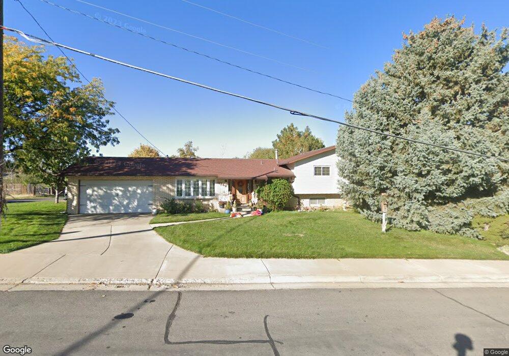
1234 S 700 E Springville, UT 84663
Evergreen NeighborhoodEstimated Value: $512,000 - $582,000
6
Beds
5
Baths
1,521
Sq Ft
$365/Sq Ft
Est. Value
About This Home
This home is located at 1234 S 700 E, Springville, UT 84663 and is currently estimated at $555,631, approximately $365 per square foot. 1234 S 700 E is a home located in Utah County with nearby schools including Sage Creek Elementary, Springville High School, and Springville Junior High School.
Ownership History
Date
Name
Owned For
Owner Type
Purchase Details
Closed on
Apr 15, 2013
Sold by
Lowe Laurence M
Bought by
Lowe Laurence M and Lowe Jennilyn
Current Estimated Value
Home Financials for this Owner
Home Financials are based on the most recent Mortgage that was taken out on this home.
Original Mortgage
$182,700
Interest Rate
3.51%
Mortgage Type
New Conventional
Create a Home Valuation Report for This Property
The Home Valuation Report is an in-depth analysis detailing your home's value as well as a comparison with similar homes in the area
Home Values in the Area
Average Home Value in this Area
Purchase History
| Date | Buyer | Sale Price | Title Company |
|---|---|---|---|
| Lowe Laurence M | -- | Us Title Ins Agency | |
| Lowe Laurence M | -- | Us Title Insurance Agency |
Source: Public Records
Mortgage History
| Date | Status | Borrower | Loan Amount |
|---|---|---|---|
| Closed | Lowe Laurence M | $182,700 |
Source: Public Records
Tax History
| Year | Tax Paid | Tax Assessment Tax Assessment Total Assessment is a certain percentage of the fair market value that is determined by local assessors to be the total taxable value of land and additions on the property. | Land | Improvement |
|---|---|---|---|---|
| 2025 | $305 | $263,120 | -- | -- |
| 2024 | $305 | $240,790 | $0 | $0 |
| 2023 | $493 | $233,310 | $0 | $0 |
| 2022 | $493 | $256,300 | $0 | $0 |
| 2021 | $397 | $358,500 | $103,100 | $255,400 |
| 2020 | $392 | $319,400 | $76,400 | $243,000 |
| 2019 | $1,901 | $294,200 | $69,200 | $225,000 |
| 2018 | $1,868 | $275,800 | $65,500 | $210,300 |
| 2017 | $1,691 | $132,605 | $0 | $0 |
| 2016 | $1,519 | $116,765 | $0 | $0 |
| 2015 | $1,323 | $104,005 | $0 | $0 |
| 2014 | $1,198 | $93,555 | $0 | $0 |
Source: Public Records
Map
Nearby Homes
- 1518 S 600 E
- 1121 W 1800 N
- 1195 W 1600 N
- 677 E 800 South St
- 1010 S 400 E Unit 21
- 1010 S 400 E Unit 39
- 949 S 1060 E
- 579 E 800 St S
- 629 E 800 St S
- 1410 W 1200 N
- 1225 N 1380 W
- 1206 E 1150 S
- 883 E 700 S
- 1632 S Main St
- 645 Swenson Ave Unit 5
- 645 Swenson Ave Unit 3
- 405 W 1200 N Unit 4
- 487 W 1200 N Unit 1
- 1330 N 800 W
- 337 E 600 S
Your Personal Tour Guide
Ask me questions while you tour the home.