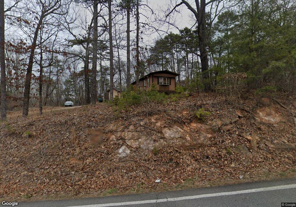
1234 Sam Nelson Rd Canton, GA 30114
Sutallee NeighborhoodEstimated Value: $466,000 - $575,000
3
Beds
3
Baths
1,769
Sq Ft
$293/Sq Ft
Est. Value
About This Home
This home is located at 1234 Sam Nelson Rd, Canton, GA 30114 and is currently estimated at $518,741, approximately $293 per square foot. 1234 Sam Nelson Rd is a home located in Cherokee County with nearby schools including R. M. Moore Elementary School, Teasley Middle School, and Cherokee High School.
Ownership History
Date
Name
Owned For
Owner Type
Purchase Details
Closed on
Mar 21, 2008
Sold by
Ghorley Jeffrey D and Ghorley Vickie N
Bought by
Ghorley Justin D
Current Estimated Value
Home Financials for this Owner
Home Financials are based on the most recent Mortgage that was taken out on this home.
Original Mortgage
$50,000
Interest Rate
6.08%
Mortgage Type
New Conventional
Create a Home Valuation Report for This Property
The Home Valuation Report is an in-depth analysis detailing your home's value as well as a comparison with similar homes in the area
Home Values in the Area
Average Home Value in this Area
Purchase History
| Date | Buyer | Sale Price | Title Company |
|---|---|---|---|
| Ghorley Justin D | -- | -- |
Source: Public Records
Mortgage History
| Date | Status | Borrower | Loan Amount |
|---|---|---|---|
| Closed | Ghorley Justin D | $50,000 |
Source: Public Records
Tax History
| Year | Tax Paid | Tax Assessment Tax Assessment Total Assessment is a certain percentage of the fair market value that is determined by local assessors to be the total taxable value of land and additions on the property. | Land | Improvement |
|---|---|---|---|---|
| 2025 | $4,674 | $178,000 | $26,520 | $151,480 |
| 2024 | $4,335 | $166,800 | $24,160 | $142,640 |
| 2023 | $4,383 | $168,680 | $24,160 | $144,520 |
| 2022 | $3,113 | $118,440 | $23,760 | $94,680 |
| 2021 | $2,470 | $87,000 | $15,880 | $71,120 |
| 2020 | $2,304 | $81,080 | $13,800 | $67,280 |
| 2019 | $2,236 | $78,680 | $13,800 | $64,880 |
| 2018 | $2,167 | $75,800 | $13,800 | $62,000 |
| 2017 | $2,223 | $192,900 | $13,800 | $63,360 |
| 2016 | $1,652 | $141,900 | $13,800 | $42,960 |
| 2015 | $1,685 | $143,300 | $13,800 | $43,520 |
| 2014 | $1,605 | $136,200 | $12,880 | $41,600 |
Source: Public Records
Map
Nearby Homes
- 310 Pepperwood Way
- 110 Canyon Ridge Trail
- 437 Mccurry Trail
- 107 Mountain Laurel Ct
- 236 Laurel Vista Dr
- 633 Hemlock Trail
- 206 Canyon Fairway Trace
- 310 Laurel Lookout Hills
- 523 Appalachian Woods
- The Fullerton Plan at Horizon at Laurel Canyon
- The Pinehurst Plan at Horizon at Laurel Canyon
- The Wellington Plan at Horizon at Laurel Canyon
- The Waveland Plan at Horizon at Laurel Canyon
- The York Plan at Horizon at Laurel Canyon
- The Cambridge Plan at Horizon at Laurel Canyon
- 540 Laurel Canyon Pkwy
- 319 Laurel Lookout Hills
- 601 Longleaf Way
- 102 Woodsdale Dr
- 105 Laurel Canyon Trail
- 1234 Sam Nelson Rd
- 0 Tony Allen Dr
- 0 Tony Allen Dr Unit 7381056
- 1945 Sam Nelson Rd
- 2604 Rampley Trail
- 2525 Rampley Trail
- 1885 Sam Nelson Rd
- 1520 Sam Nelson Rd
- 1460 Sam Nelson Rd
- 2554 Rampley Trail
- 1191 Sam Nelson Rd
- 518 Tony Allen Dr
- 127 Tony Allen Dr
- 344 Tony Allen Dr
- 2456 Rampley Trail
- 300 Hulsey Trail
- 2508 Rampley Trail
- 1008 Cagle Dr
- 1000 Cagle Dr
- 2347 Rampley Trail