1234 Southampton Rd Salt Lake City, UT 84123
Estimated Value: $348,000 - $382,000
2
Beds
2
Baths
975
Sq Ft
$375/Sq Ft
Est. Value
About This Home
This home is located at 1234 Southampton Rd, Salt Lake City, UT 84123 and is currently estimated at $365,918, approximately $375 per square foot. 1234 Southampton Rd is a home located in Salt Lake County with nearby schools including John C Fremont Elementary School, Eisenhower Jr High School, and Taylorsville High School.
Ownership History
Date
Name
Owned For
Owner Type
Purchase Details
Closed on
Jun 2, 1999
Sold by
Holbrook Fred S and Holbrook Zettie M
Bought by
Copple Randy
Current Estimated Value
Home Financials for this Owner
Home Financials are based on the most recent Mortgage that was taken out on this home.
Original Mortgage
$91,900
Outstanding Balance
$23,818
Interest Rate
6.84%
Mortgage Type
Purchase Money Mortgage
Estimated Equity
$342,100
Create a Home Valuation Report for This Property
The Home Valuation Report is an in-depth analysis detailing your home's value as well as a comparison with similar homes in the area
Home Values in the Area
Average Home Value in this Area
Purchase History
| Date | Buyer | Sale Price | Title Company |
|---|---|---|---|
| Copple Randy | -- | Backman Stewart Title Servic |
Source: Public Records
Mortgage History
| Date | Status | Borrower | Loan Amount |
|---|---|---|---|
| Open | Copple Randy | $91,900 |
Source: Public Records
Tax History Compared to Growth
Tax History
| Year | Tax Paid | Tax Assessment Tax Assessment Total Assessment is a certain percentage of the fair market value that is determined by local assessors to be the total taxable value of land and additions on the property. | Land | Improvement |
|---|---|---|---|---|
| 2025 | $2,000 | $341,700 | $54,900 | $286,800 |
| 2024 | $2,000 | $328,000 | $52,500 | $275,500 |
| 2023 | $1,831 | $294,600 | $50,500 | $244,100 |
| 2022 | $1,785 | $289,600 | $49,500 | $240,100 |
| 2021 | $1,654 | $233,700 | $38,100 | $195,600 |
| 2020 | $1,531 | $204,800 | $33,900 | $170,900 |
| 2019 | $1,509 | $197,100 | $33,900 | $163,200 |
| 2018 | $1,355 | $170,600 | $33,900 | $136,700 |
| 2017 | $1,142 | $151,200 | $32,200 | $119,000 |
| 2016 | $1,096 | $145,000 | $37,900 | $107,100 |
| 2015 | $1,158 | $143,100 | $49,800 | $93,300 |
| 2014 | $1,108 | $134,500 | $47,300 | $87,200 |
Source: Public Records
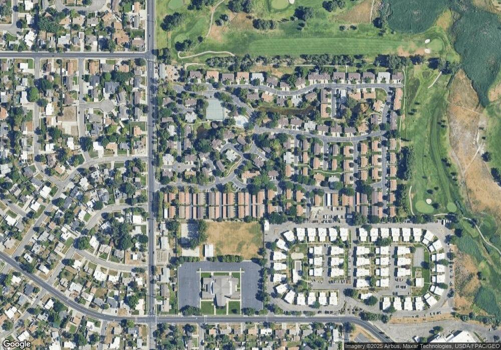
Map
Nearby Homes
- 1219 W Middlesex Rd
- 4288 S 1300 W
- 1167 W 4300 S Unit 27C
- 1218 W 4365 S Unit 4B
- 4352 S 1145 W Unit 44C
- 4250 Chegwidden Ln
- 1378 W 4200 S
- 4480 S Atherton Dr Unit 22
- 3980 S Waxwing St
- 1284 Canary St Unit 221
- 1130 W Carmellia Dr Unit 20
- 4176 S Oak Meadows Dr Unit 10
- 4148 S Oak Meadows Dr Unit 31
- 1264 Canary St
- 1271 W Waxwing St
- 4188 S Oak Meadows Dr Unit 21
- 4567 S Yarrow Ln Unit 86
- 1282 W Waxwing St Unit 254
- 4138 S Oak Meadows Dr Unit 31
- 4255 S Redwood Rd W
- 1238 W Southampton Rd
- 1238 W Southampton Rd Unit 230
- 1230 Southampton Rd
- 1238 Southampton Rd
- 1230 W Southampton Rd
- 1226 Southampton Rd
- 1229 Carlton Ct
- 1227 Carlton Ct
- 1220 Southampton Rd
- 4305 Abbey Ct
- 4304 S Whitby Ct
- 4305 S Abby Ct
- 4305 S Abbey Ct
- 4304 Whitby Ct Unit 224
- 1243 Thames Ct
- 4307 Abbey Ct
- 4306 Whitby Ct
- 4307 S Abbey Ct Unit 232H
- 1216 Southampton Rd
- 4309 Abbey Ct