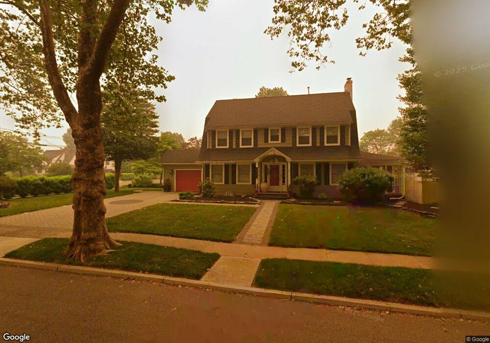
1234 Thornton Ave Unit 44 Plainfield, NJ 07060
Estimated Value: $560,000 - $691,000
--
Bed
--
Bath
2,080
Sq Ft
$293/Sq Ft
Est. Value
About This Home
This home is located at 1234 Thornton Ave Unit 44, Plainfield, NJ 07060 and is currently estimated at $610,074, approximately $293 per square foot. 1234 Thornton Ave Unit 44 is a home located in Union County with nearby schools including Evergreen Elementary School, Maxson Middle School, and Plainfield High School.
Ownership History
Date
Name
Owned For
Owner Type
Purchase Details
Closed on
May 16, 2016
Sold by
Wingard Carol A Exx
Bought by
Windbush Keisha
Current Estimated Value
Home Financials for this Owner
Home Financials are based on the most recent Mortgage that was taken out on this home.
Original Mortgage
$304,320
Outstanding Balance
$248,668
Interest Rate
4.5%
Mortgage Type
FHA
Estimated Equity
$361,406
Create a Home Valuation Report for This Property
The Home Valuation Report is an in-depth analysis detailing your home's value as well as a comparison with similar homes in the area
Home Values in the Area
Average Home Value in this Area
Purchase History
| Date | Buyer | Sale Price | Title Company |
|---|---|---|---|
| Windbush Keisha | $267,000 | -- |
Source: Public Records
Mortgage History
| Date | Status | Borrower | Loan Amount |
|---|---|---|---|
| Open | Windbush Keisha | $304,320 |
Source: Public Records
Tax History Compared to Growth
Tax History
| Year | Tax Paid | Tax Assessment Tax Assessment Total Assessment is a certain percentage of the fair market value that is determined by local assessors to be the total taxable value of land and additions on the property. | Land | Improvement |
|---|---|---|---|---|
| 2025 | $12,958 | $148,400 | $53,900 | $94,500 |
| 2024 | $12,831 | $148,400 | $53,900 | $94,500 |
| 2023 | $12,831 | $148,400 | $53,900 | $94,500 |
| 2022 | $12,553 | $148,400 | $53,900 | $94,500 |
| 2021 | $12,443 | $148,400 | $53,900 | $94,500 |
| 2020 | $12,408 | $148,400 | $53,900 | $94,500 |
| 2019 | $12,408 | $148,400 | $53,900 | $94,500 |
| 2018 | $12,148 | $148,400 | $53,900 | $94,500 |
| 2017 | $11,851 | $148,400 | $53,900 | $94,500 |
| 2016 | $11,609 | $148,400 | $53,900 | $94,500 |
| 2015 | $11,267 | $148,400 | $53,900 | $94,500 |
| 2014 | -- | $148,400 | $53,900 | $94,500 |
Source: Public Records
Map
Nearby Homes
- 1143 Stilford Ave Unit 45
- 1143-45 Stilford Ave
- 1354 Chetwynd Ave Unit 58
- 1358 Marlborough Ave Unit 60
- 1358 Prospect Ave Unit 64
- 1215 Prospect Ave Unit 19
- 115 Ellsworth Ct Unit 17
- 1019-23 Prospect Ave
- 1028 Evergreen Ave
- 954 Kensington Ave
- 1208 Moffett Ave Unit 12
- 933 Cedarbrook Rd
- 941 Carnegie Ave Unit 43
- 1200-06 Watchung Ave
- 1339 Park Ave Unit 41
- 818-20 2nd Place
- 819 Kensington Ave Unit 25
- 1349 Park Ave Unit 53
- 1454 S End Pkwy Unit 56
- 1112 Putnam Ave Unit 14
- 1244 Thornton Ave
- 1106 Hillside Ave Unit 10
- 1228 Thornton Ave Unit 32
- 1112 Hillside Ave Unit 14
- 1109 Stilford Ave Unit 11
- 1092 Hillside Ave Unit 96
- 1116 Hillside Ave
- 1113 Stilford Ave Unit 15
- 1305 Marlborough Ave
- 1301-07 Marlborough Ave
- 1301 Marlborough Ave Unit 7
- 1088 Hillside Ave Unit 90
- 1229 Thornton Ave Unit 33
- 1231 Thornton Ave
- 1118 Hillside Ave Unit 20
- 1300 Marlborough Ave Unit 4
- 1117 Stilford Ave Unit 21
- 1300-12 Chetwynd Ave
- 1300 Chetwynd Ave Unit 12
- 1225 Thornton Ave Unit 27