Estimated Value: $134,000 - $214,000
3
Beds
1
Bath
2,814
Sq Ft
$64/Sq Ft
Est. Value
About This Home
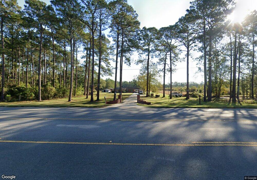
This home is located at 1234 Us Highway 1 S, Alma, GA 31510 and is currently estimated at $180,002, approximately $63 per square foot. 1234 Us Highway 1 S is a home located in Bacon County with nearby schools including Bacon County Primary School, Bacon County Elementary School, and Bacon County Middle School.
Ownership History
Date
Name
Owned For
Owner Type
Purchase Details
Closed on
Feb 24, 2022
Sold by
American Proteins Inc
Bought by
Rubio Gabriel and Rubio David
Current Estimated Value
Purchase Details
Closed on
May 21, 2007
Sold by
Hutto Eric C
Bought by
American Proteins Inc
Purchase Details
Closed on
Mar 27, 2003
Sold by
Hutto Rena
Bought by
Hutto Eric
Purchase Details
Closed on
Apr 11, 1991
Bought by
Hutto Rena
Create a Home Valuation Report for This Property
The Home Valuation Report is an in-depth analysis detailing your home's value as well as a comparison with similar homes in the area
Home Values in the Area
Average Home Value in this Area
Purchase History
| Date | Buyer | Sale Price | Title Company |
|---|---|---|---|
| Rubio Gabriel | $150,000 | -- | |
| American Proteins Inc | $180,000 | -- | |
| Hutto Eric | -- | -- | |
| Hutto Rena | -- | -- |
Source: Public Records
Tax History Compared to Growth
Tax History
| Year | Tax Paid | Tax Assessment Tax Assessment Total Assessment is a certain percentage of the fair market value that is determined by local assessors to be the total taxable value of land and additions on the property. | Land | Improvement |
|---|---|---|---|---|
| 2024 | $1,657 | $63,516 | $10,040 | $53,476 |
| 2023 | $1,580 | $57,996 | $9,440 | $48,556 |
| 2022 | $1,817 | $66,676 | $9,440 | $57,236 |
| 2021 | $1,734 | $63,636 | $9,440 | $54,196 |
| 2020 | $1,761 | $54,768 | $5,178 | $49,590 |
| 2019 | $1,764 | $54,768 | $5,178 | $49,590 |
| 2018 | $1,688 | $52,462 | $5,178 | $47,284 |
| 2017 | $1,507 | $52,462 | $5,178 | $47,284 |
| 2016 | $1,507 | $52,462 | $5,178 | $47,284 |
| 2015 | $1,606 | $51,502 | $5,178 | $46,324 |
| 2014 | $1,402 | $51,502 | $5,178 | $46,324 |
| 2013 | $1,402 | $43,438 | $5,992 | $37,446 |
Source: Public Records
Map
Nearby Homes
- 1348 U S 1
- 301 Taylor Rd
- 611 S Bead St
- 113 Brite Blue Dr
- 403 S Ware St
- 122 Grace Loop Unit 1
- 118 Grace Loop Unit 1
- 117 Grace Loop Unit 1
- 166 Grace Loop Unit 1
- 314 W 16th St
- 9TH E 417
- 0 E 6th St Unit 114222
- 0 Jasmine Ln
- 118 Morris Dr
- 907 N Pierce St
- 401 Lee St
- 0 Oriole Rd Unit 160930
- 0 Oriole Rd Unit 1654653
- 0 Oriole Rd Unit 10543585
- 1109 W 4th Street Extension
- 4516 S Pierce St
- 1329 Us Highway 1 S
- 400 Townsend Ln
- 1131 Us Highway 1 S
- 402 Townsend Ln
- 404 Townsend Ln
- 1348 Us Highway 1 S
- 0 Taylor & Townsend
- 0 Rd
- 307 Taylor Rd
- 1179 S Pierce St
- 303 Taylor Rd
- 310 Taylor Rd
- 308 Taylor Rd
- 505 Townsend Ln
- 306 Taylor Rd
- 207 Taylor Rd
- 679 Radio Station Rd
- 667 Radio Station Rd
- 506 Townsend Ln