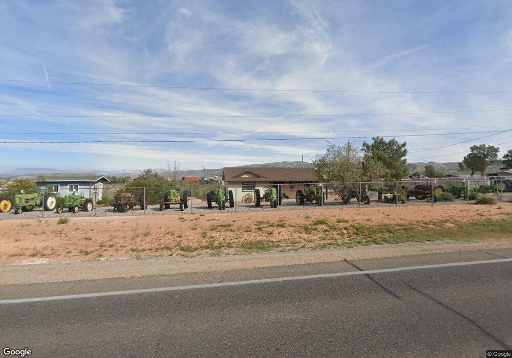
12340 E Cornville Rd Cornville, AZ 86325
Estimated Value: $339,000 - $535,000
3
Beds
2
Baths
1,142
Sq Ft
$370/Sq Ft
Est. Value
About This Home
This home is located at 12340 E Cornville Rd, Cornville, AZ 86325 and is currently estimated at $422,752, approximately $370 per square foot. 12340 E Cornville Rd is a home located in Yavapai County with nearby schools including Oak Creek School, Cottonwood Community School, and Mingus Union High School.
Ownership History
Date
Name
Owned For
Owner Type
Purchase Details
Closed on
Jul 22, 2022
Sold by
Berry Trust and Robert Berry Trust
Bought by
Robert And Debra Berry Living Trust and Berry
Current Estimated Value
Purchase Details
Closed on
Jun 24, 2021
Sold by
Sperline Thomas S and Berry Sperline Andrea
Bought by
Berry Robert N and The Berry Trust
Purchase Details
Closed on
Mar 26, 2018
Sold by
Berry Robert N and The Robert Berry Trust
Bought by
Sperline Thomas S and Berry Sperline Andrea L
Create a Home Valuation Report for This Property
The Home Valuation Report is an in-depth analysis detailing your home's value as well as a comparison with similar homes in the area
Home Values in the Area
Average Home Value in this Area
Purchase History
| Date | Buyer | Sale Price | Title Company |
|---|---|---|---|
| Robert And Debra Berry Living Trust | -- | -- | |
| Berry Robert N | -- | Accommodation | |
| Sperline Thomas S | -- | Yavapai Title | |
| Berry Robert N | $137,500 | Yavapai Title |
Source: Public Records
Tax History
| Year | Tax Paid | Tax Assessment Tax Assessment Total Assessment is a certain percentage of the fair market value that is determined by local assessors to be the total taxable value of land and additions on the property. | Land | Improvement |
|---|---|---|---|---|
| 2026 | $1,702 | $31,775 | -- | -- |
| 2024 | $1,642 | $29,136 | -- | -- |
| 2023 | $1,642 | $23,927 | $0 | $0 |
| 2022 | $1,614 | $16,997 | $3,875 | $13,122 |
| 2021 | $1,660 | $15,963 | $3,995 | $11,968 |
| 2020 | $1,630 | $0 | $0 | $0 |
| 2019 | $1,602 | $0 | $0 | $0 |
| 2018 | $1,543 | $0 | $0 | $0 |
| 2017 | $1,480 | $0 | $0 | $0 |
| 2016 | $1,440 | $0 | $0 | $0 |
| 2015 | -- | $0 | $0 | $0 |
| 2014 | -- | $0 | $0 | $0 |
Source: Public Records
Map
Nearby Homes
- 12145 E Rodgers Cir
- 0 Solair Dr
- 1505 S Rancho Casero Dr
- 1505 S Rancho Casero Dr
- 12675 E Tuscan Ridge Rd
- 1220 S Eastern Dr
- 1665 S Mountain View Rd
- 11310 E Circle Dr
- 11425 E Harmony Ln
- 4444 S Western Dr Unit 573
- 1970 Equestrian Way
- 1260 Angel Crest Dr
- 1455 S Bent Creek Ln
- 1790 S Koch Ranch Rd
- 1980 S Koch Ranch Rd
- 11120 E Brooks Ln
- 455 S Ole Paint Way
- 10883 E Pear Tree Dr Unit 14
- 10881 E Pear Tree Dr Unit 15
- 1600 S Aspaas Rd
Your Personal Tour Guide
Ask me questions while you tour the home.