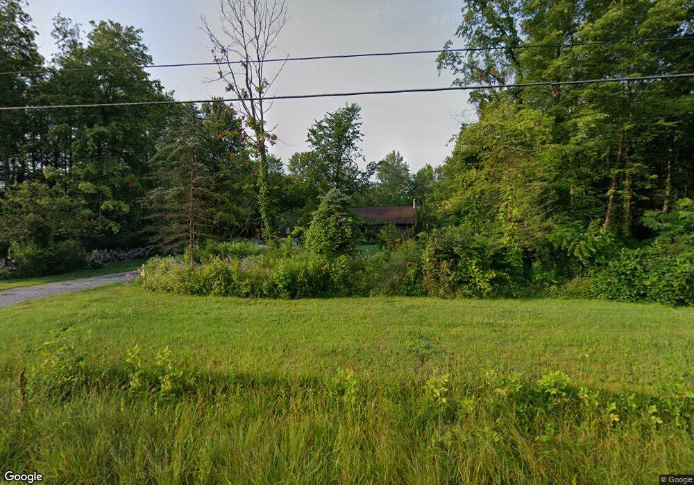
12340 State Route 521 Sunbury, OH 43074
Kingston NeighborhoodEstimated Value: $573,190 - $681,000
2
Beds
3
Baths
2,590
Sq Ft
$243/Sq Ft
Est. Value
About This Home
This home is located at 12340 State Route 521, Sunbury, OH 43074 and is currently estimated at $628,298, approximately $242 per square foot. 12340 State Route 521 is a home located in Delaware County with nearby schools including Big Walnut Intermediate School, Big Walnut Middle School, and Big Walnut High School.
Ownership History
Date
Name
Owned For
Owner Type
Purchase Details
Closed on
Jan 29, 2004
Sold by
Mckell Donald G and Mckell Elizabeth A
Bought by
Mckell Donald G
Current Estimated Value
Home Financials for this Owner
Home Financials are based on the most recent Mortgage that was taken out on this home.
Original Mortgage
$168,500
Interest Rate
5.77%
Mortgage Type
New Conventional
Create a Home Valuation Report for This Property
The Home Valuation Report is an in-depth analysis detailing your home's value as well as a comparison with similar homes in the area
Home Values in the Area
Average Home Value in this Area
Purchase History
| Date | Buyer | Sale Price | Title Company |
|---|---|---|---|
| Mckell Donald G | -- | Trident Title Agency |
Source: Public Records
Mortgage History
| Date | Status | Borrower | Loan Amount |
|---|---|---|---|
| Closed | Mckell Donald G | $168,500 |
Source: Public Records
Tax History Compared to Growth
Tax History
| Year | Tax Paid | Tax Assessment Tax Assessment Total Assessment is a certain percentage of the fair market value that is determined by local assessors to be the total taxable value of land and additions on the property. | Land | Improvement |
|---|---|---|---|---|
| 2024 | $5,997 | $149,000 | $41,370 | $107,630 |
| 2023 | $5,966 | $149,000 | $41,370 | $107,630 |
| 2022 | $5,094 | $110,250 | $32,130 | $78,120 |
| 2021 | $4,905 | $110,250 | $32,130 | $78,120 |
| 2020 | $4,918 | $110,250 | $32,130 | $78,120 |
| 2019 | $4,347 | $93,980 | $22,960 | $71,020 |
| 2018 | $4,084 | $93,980 | $22,960 | $71,020 |
| 2017 | $3,763 | $88,980 | $18,450 | $70,530 |
| 2016 | $3,617 | $88,980 | $18,450 | $70,530 |
| 2015 | $3,637 | $88,980 | $18,450 | $70,530 |
| 2014 | $3,766 | $88,980 | $18,450 | $70,530 |
| 2013 | $3,988 | $86,910 | $18,450 | $68,460 |
Source: Public Records
Map
Nearby Homes
- 6337 N State Route 61
- 0 Plantation Rd Unit 225008491
- 5455 Plantation Rd
- 11880 Wildwood Ln
- 4444 N State Route 61
- 7700 N State Route 61
- 0 Blue Church Rd Unit 225023494
- 5520 Fredricks Rd
- 9752 State Route 521
- 3399 N State Route 61
- 3319 N State Route 61
- 3237 Blue Church Rd
- 5141 Carters Corner Rd
- 14926 Olive Green Rd
- 3859 County Road 15
- 3412 Creek Rd
- 4494 County Road 15
- 0 Twigg Hupp Rd
- Tract 6 State Route 521
- 0 N State Route 61 Unit Lot 4 225027787
- 12286 State Route 521
- 12397 State Route 521
- 12335 State Route 521
- 12430 State Route 521
- 12463 State Route 521
- 12121 State Route 521
- 6041 State Route 656
- 12527 State Route 521
- 12542 State Route 521
- 12323 State Route 521
- 12112 State Route 521
- 5877 State Route 656
- 12060 State Route 521
- 6181 State Route 656
- 6026 State Route 656
- 12601 State Route 521
- 6120 State Route 656
- 12110 State Route 521
- 12040 State Route 521