12341 Prine Rd Springport, MI 49284
Estimated Value: $218,000 - $420,000
3
Beds
2
Baths
1,664
Sq Ft
$218/Sq Ft
Est. Value
About This Home
This home is located at 12341 Prine Rd, Springport, MI 49284 and is currently estimated at $362,206, approximately $217 per square foot. 12341 Prine Rd is a home located in Jackson County with nearby schools including Springport Elementary School, Springport Middle School, and Springport High School.
Ownership History
Date
Name
Owned For
Owner Type
Purchase Details
Closed on
May 15, 2008
Sold by
Mullins Kelly J
Bought by
Mullins Kelly J and Mullins Heather M
Current Estimated Value
Home Financials for this Owner
Home Financials are based on the most recent Mortgage that was taken out on this home.
Original Mortgage
$204,000
Outstanding Balance
$54,677
Interest Rate
5.87%
Mortgage Type
New Conventional
Estimated Equity
$307,529
Purchase Details
Closed on
Jan 17, 2005
Sold by
Mullins John E
Bought by
Mullins Kelly J
Purchase Details
Closed on
Mar 31, 2004
Sold by
Craddock Geraldine
Bought by
Mullins John
Create a Home Valuation Report for This Property
The Home Valuation Report is an in-depth analysis detailing your home's value as well as a comparison with similar homes in the area
Purchase History
We collect this data history from publicly available records. To have your information removed, we recommend requesting removal directly through your county’s website.
| Date | Buyer | Sale Price | Title Company |
|---|---|---|---|
| Mullins Kelly J | -- | None Available | |
| Mullins Kelly J | -- | -- | |
| Mullins John | -- | -- |
Source: Public Records
Mortgage History
We collect this data history from publicly available records. To have your information removed, we recommend requesting removal directly through your county’s website.
| Date | Status | Borrower | Loan Amount |
|---|---|---|---|
| Open | Mullins Kelly J | $204,000 |
Source: Public Records
Tax History
| Year | Tax Paid | Tax Assessment Tax Assessment Total Assessment is a certain percentage of the fair market value that is determined by local assessors to be the total taxable value of land and additions on the property. | Land | Improvement |
|---|---|---|---|---|
| 2025 | $3,718 | $183,300 | $0 | $0 |
| 2024 | $12 | $166,900 | $0 | $0 |
| 2023 | $1,089 | $153,100 | $0 | $0 |
| 2022 | $2,326 | $143,300 | $0 | $0 |
| 2020 | $1,002 | $124,900 | $0 | $0 |
| 2019 | $3,208 | $105,500 | $0 | $0 |
| 2018 | $3,144 | $100,800 | $0 | $0 |
| 2017 | $2,973 | $98,100 | $0 | $0 |
| 2016 | $935 | $98,100 | $18,100 | $80,000 |
| 2015 | -- | $109,700 | $109,700 | $0 |
| 2014 | -- | $110,400 | $110,400 | $0 |
| 2013 | -- | $110,400 | $110,400 | $0 |
Source: Public Records
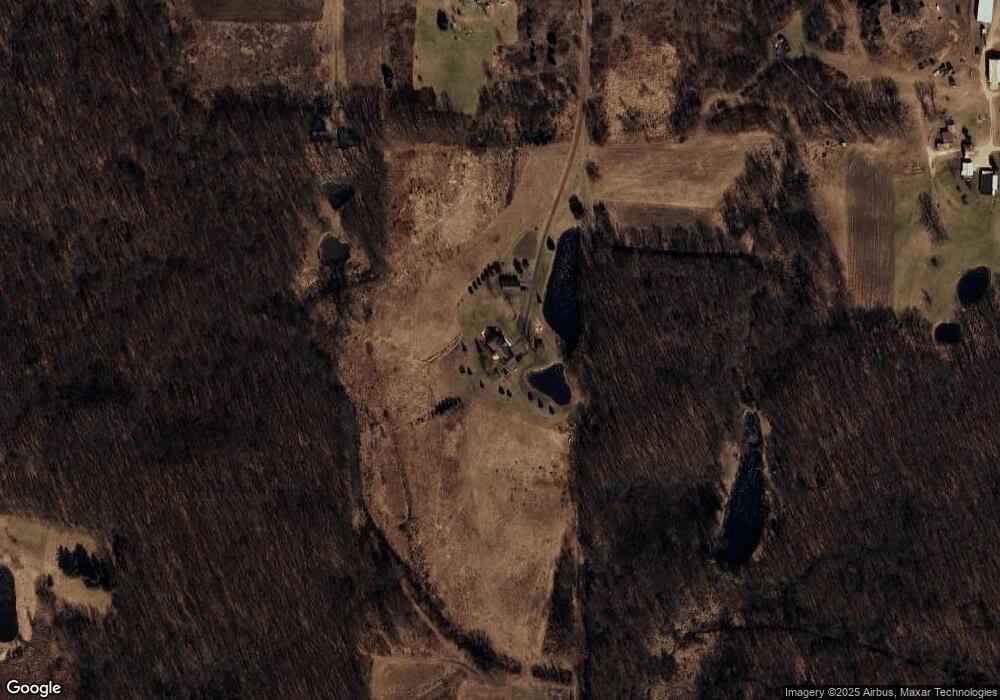
Map
Nearby Homes
- 12261 Pope Church Rd
- 13025 Pope Church Rd
- 9673 Spartan Ln
- 14351 Clinton Rd
- 0 Springport Rd
- 12011 Hopcraft Rd
- 12315 Kimler Rd
- 12441 Town Rd
- 9890 Springport Rd
- 9733 Blue Heron
- 9537 S Clinton Trail
- 598 E Main St
- 9437 Fisk Rd
- 8840 Houston Rd
- 12793 Gibbs Rd
- 330 Grand St
- 9454 Buck Hwy
- 220 Grand St
- 12247 Onondaga Rd
- v/l Holibaugh Rd
- 12405 Prine Rd
- 12397 Prine Rd
- 10850 Brown Rd
- 10850 Brown Rd
- 10848 Robbins Rd
- 10848 Robbins Rd
- 10833 Brown Rd
- 12770 Prine Rd
- 10839 Brown Rd
- 11100 Brown Rd
- 10899 Robbins Rd
- 10870 Robbins Rd
- 12994 Prine Rd
- 10917 Robbins Rd
- 10622 Brown Rd
- 11200 Brown Rd
- 10991 Robbins Rd
- 11030 Robbins Rd
- 10725 Robbins Rd
- 11300 Brown Rd
Your Personal Tour Guide
Ask me questions while you tour the home.