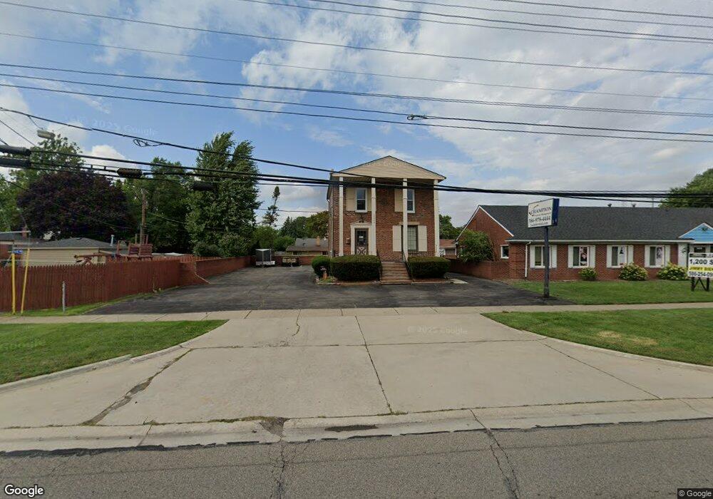
12345 E 12 Mile Rd Warren, MI 48093
Northeast Warren NeighborhoodEstimated Value: $140,669
--
Bed
--
Bath
1,700
Sq Ft
$83/Sq Ft
Est. Value
About This Home
This home is located at 12345 E 12 Mile Rd, Warren, MI 48093 and is currently estimated at $140,669, approximately $82 per square foot. 12345 E 12 Mile Rd is a home located in Macomb County with nearby schools including Warren Woods Tower High School, Frontier International Academy Elementary, and Warren SDA Junior Academy.
Ownership History
Date
Name
Owned For
Owner Type
Purchase Details
Closed on
Sep 23, 2021
Sold by
Ghk Group Llc
Bought by
Mckee James T
Current Estimated Value
Purchase Details
Closed on
Nov 10, 2011
Sold by
Michael & Alice Properties Llc
Bought by
Ghk Group Llc
Purchase Details
Closed on
May 19, 2008
Sold by
Schultes Michael E and Schultes Alice G
Bought by
Michael & Alice Properties Llc
Create a Home Valuation Report for This Property
The Home Valuation Report is an in-depth analysis detailing your home's value as well as a comparison with similar homes in the area
Home Values in the Area
Average Home Value in this Area
Purchase History
| Date | Buyer | Sale Price | Title Company |
|---|---|---|---|
| Mckee James T | -- | First Premier Title | |
| Ghk Group Llc | $45,000 | Greco Title Agency Llc | |
| Michael & Alice Properties Llc | -- | Greco |
Source: Public Records
Mortgage History
| Date | Status | Borrower | Loan Amount |
|---|---|---|---|
| Closed | Mckee James T | $0 |
Source: Public Records
Tax History Compared to Growth
Tax History
| Year | Tax Paid | Tax Assessment Tax Assessment Total Assessment is a certain percentage of the fair market value that is determined by local assessors to be the total taxable value of land and additions on the property. | Land | Improvement |
|---|---|---|---|---|
| 2025 | $4,483 | $57,250 | $0 | $0 |
| 2024 | $4,389 | $62,350 | $0 | $0 |
| 2023 | $4,792 | $68,490 | $0 | $0 |
| 2022 | $4,958 | $71,160 | $0 | $0 |
| 2021 | $3,553 | $70,290 | $0 | $0 |
| 2020 | $3,441 | $72,180 | $0 | $0 |
| 2019 | $3,325 | $70,820 | $0 | $0 |
| 2018 | $73 | $49,440 | $0 | $0 |
| 2017 | $3,190 | $26,570 | $23,750 | $2,820 |
| 2016 | $3,168 | $49,800 | $0 | $0 |
| 2015 | -- | $49,210 | $0 | $0 |
| 2013 | $3,098 | $44,270 | $0 | $0 |
Source: Public Records
Map
Nearby Homes
- 29366 Wagner Dr
- 28621 Pinto Dr
- 11916 Geoffry Dr
- 29379 Newport Dr
- 13053 Geoffry Dr
- 29667 Newport Dr
- 29723 Roan Dr
- 29365 Dover Ave
- 29638 Hoover Rd Unit 638
- 29626 Hoover Rd Unit 626
- 28203 Newport Dr
- 29820 Palomino Dr
- 29819 Bonnie Dr
- 13265 Geoffry Dr
- 29355 Eiffel Ave
- 11582 Gerald Dr
- 11555 Newbern Dr
- 11447 Edwin Dr
- 11511 Gerald Dr
- 29266 Moulin Ave
- 1 12 Mile Rd
- 12415 Twelve Mile Rd
- 12342 Geoffry Dr
- 29116 Roan Dr
- 29130 Roan Dr
- 29144 Roan Dr
- 12366 Geoffry Dr
- 29158 Roan Dr
- 12292 Twelve Mile Rd
- 12434 E 12 Mile Rd
- 12434 E 12 Mile Rd Unit 101
- 12434 E 12 Mile Rd Unit 202
- 12434 E 12 Mile Rd
- 29202 Pinto Dr
- 29219 Pinto Dr
- 29206 Roan Dr
- 29133 Palomino Dr
- 29115 Roan Dr
- 29119 Palomino Dr
- 29105 Palomino Dr