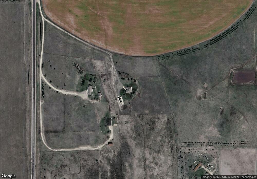
12345 S Highway 83 North Platte, NE 69101
Estimated Value: $669,000 - $762,598
3
Beds
5
Baths
2,629
Sq Ft
$273/Sq Ft
Est. Value
About This Home
This home is located at 12345 S Highway 83, North Platte, NE 69101 and is currently estimated at $717,199, approximately $272 per square foot. 12345 S Highway 83 is a home located in Lincoln County with nearby schools including North Platte High School.
Ownership History
Date
Name
Owned For
Owner Type
Purchase Details
Closed on
Jan 12, 2022
Sold by
Pullen Margaret A
Bought by
Boyer John T and Boyer Alice N
Current Estimated Value
Home Financials for this Owner
Home Financials are based on the most recent Mortgage that was taken out on this home.
Original Mortgage
$431,000
Outstanding Balance
$396,907
Interest Rate
3.05%
Mortgage Type
New Conventional
Estimated Equity
$320,292
Purchase Details
Closed on
Apr 28, 2008
Sold by
Sellers Ryan O
Bought by
Pullen Marty J and Pullen Margaret A
Home Financials for this Owner
Home Financials are based on the most recent Mortgage that was taken out on this home.
Original Mortgage
$140,000
Interest Rate
5.84%
Mortgage Type
Credit Line Revolving
Create a Home Valuation Report for This Property
The Home Valuation Report is an in-depth analysis detailing your home's value as well as a comparison with similar homes in the area
Home Values in the Area
Average Home Value in this Area
Purchase History
| Date | Buyer | Sale Price | Title Company |
|---|---|---|---|
| Boyer John T | $9,777 | None Listed On Document | |
| Boyer John T | $9,777 | None Listed On Document | |
| Pullen Marty J | $330,000 | None Available |
Source: Public Records
Mortgage History
| Date | Status | Borrower | Loan Amount |
|---|---|---|---|
| Open | Boyer John T | $431,000 | |
| Closed | Boyer John T | $431,000 | |
| Previous Owner | Pullen Marty J | $140,000 |
Source: Public Records
Tax History Compared to Growth
Tax History
| Year | Tax Paid | Tax Assessment Tax Assessment Total Assessment is a certain percentage of the fair market value that is determined by local assessors to be the total taxable value of land and additions on the property. | Land | Improvement |
|---|---|---|---|---|
| 2024 | $5,553 | $592,247 | $55,724 | $536,523 |
| 2023 | $7,428 | $540,454 | $55,724 | $484,730 |
| 2022 | $6,958 | $480,766 | $55,724 | $425,042 |
| 2021 | $7,238 | $480,766 | $55,724 | $425,042 |
| 2020 | $7,374 | $480,766 | $55,724 | $425,042 |
| 2019 | $6,348 | $411,405 | $31,610 | $379,795 |
| 2018 | $6,385 | $411,405 | $31,610 | $379,795 |
| 2017 | $6,418 | $411,405 | $31,610 | $379,795 |
| 2016 | $6,579 | $413,945 | $31,610 | $382,335 |
| 2014 | $5,793 | $347,960 | $31,610 | $316,350 |
Source: Public Records
Map
Nearby Homes
- 205 Mill Isle Dr
- 118 S Maloney Dr
- 240 Kingfisher Cove
- 1261 W Fairway
- 9421 S Sierra Dr
- 9501 Canal Rd
- 9101 Lakeview Dr
- 9009 Maloney Dr
- 276 S Sagebrush Ln
- 296 S Sagebrush Ln
- 209 N Maloney Dr
- 00 W Somerset Rd
- 6740 Whisper Canyon Rd
- 00 Miriam Rd
- 0 Creekside Subdivision Unit 11328758
- 221 Prairie Rd
- 4306 Twin Rivers Rd
- 200 College Dr
- 2421 W State Farm Rd Unit North Platte NE 6910
- 2421 W State Farm Rd
- 12345 S Highway 83
- 12543 S Highway 83
- 12425 S Highway 83
- 1371 Brown Rd
- 975 Brown Rd
- 1217 Brown Rd
- 29 Mill Isle Unit Lot 4
- 29 Mill Isle Unit Lot 10
- 23B Mill Isle Boat Club
- Mill Isle Mill Isle Boat Club
- LOT 25 Mill Isle Boat Club
- LOT 15 Mill Isle Boat Club
- Lot 7 Mill Isle Boat Club
- 0 Mill Isle Boat Club
- LOT 17 Mill Isle Boat Club
- 1541 Brown Rd
- 12412 Saddle Rd
- 11823 S Highway 83
- LOT 5 Mill Isle Dr
- 205 Mill Isle Drive #23