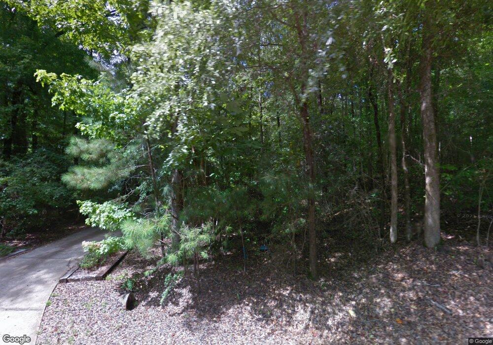
12347 Cherokee Dr Northport, AL 35475
Estimated Value: $579,303 - $846,000
4
Beds
3
Baths
3,350
Sq Ft
$209/Sq Ft
Est. Value
About This Home
This home is located at 12347 Cherokee Dr, Northport, AL 35475 and is currently estimated at $699,576, approximately $208 per square foot. 12347 Cherokee Dr is a home located in Tuscaloosa County with nearby schools including Walker Elementary School, Northside Middle School, and Northside High School.
Ownership History
Date
Name
Owned For
Owner Type
Purchase Details
Closed on
Nov 2, 2012
Sold by
Onstott Betty L T T E E
Bought by
Davis Jonathon C and Davis Monica B
Current Estimated Value
Home Financials for this Owner
Home Financials are based on the most recent Mortgage that was taken out on this home.
Original Mortgage
$336,000
Outstanding Balance
$232,292
Interest Rate
3.4%
Mortgage Type
Commercial
Estimated Equity
$467,284
Create a Home Valuation Report for This Property
The Home Valuation Report is an in-depth analysis detailing your home's value as well as a comparison with similar homes in the area
Home Values in the Area
Average Home Value in this Area
Purchase History
| Date | Buyer | Sale Price | Title Company |
|---|---|---|---|
| Davis Jonathon C | $420,000 | -- |
Source: Public Records
Mortgage History
| Date | Status | Borrower | Loan Amount |
|---|---|---|---|
| Open | Davis Jonathon C | $336,000 |
Source: Public Records
Tax History Compared to Growth
Tax History
| Year | Tax Paid | Tax Assessment Tax Assessment Total Assessment is a certain percentage of the fair market value that is determined by local assessors to be the total taxable value of land and additions on the property. | Land | Improvement |
|---|---|---|---|---|
| 2024 | $1,106 | $64,860 | $9,620 | $55,240 |
| 2023 | $1,106 | $66,340 | $9,620 | $56,720 |
| 2022 | $1,146 | $67,080 | $9,620 | $57,460 |
| 2021 | $1,174 | $68,540 | $9,620 | $58,920 |
| 2020 | $1,292 | $37,500 | $4,810 | $32,690 |
| 2019 | $1,292 | $37,500 | $4,810 | $32,690 |
| 2018 | $1,195 | $34,870 | $4,810 | $30,060 |
| 2017 | $1,099 | $0 | $0 | $0 |
| 2016 | $1,062 | $0 | $0 | $0 |
| 2015 | $1,066 | $0 | $0 | $0 |
| 2014 | $1,066 | $31,030 | $3,510 | $27,520 |
Source: Public Records
Map
Nearby Homes
- 0 Orlea Ln Unit 24017439
- 15479 Choctaw Trail
- 15959 Seminole Trail
- Lot 17 Grandview Dr
- Lot 18 Grandview Dr
- 11991 Grandview Dr
- 00000 Candy Dr
- 12030 Orlea Ln
- 12796 Lakeland Hills Dr
- 00 Starboard Place Unit 103-104
- 106 Starboard Place
- 00 Starboard Place
- 11760 High Cliff Dr
- 12575 Bone Camp Rd
- 15101 Green Cir
- 15340 Stonehedge Cliffs Rd
- 12437 Rising Tide
- 14922 Edgewater Dr
- 14898 Edgewater Dr
- 14938 Edgewater Dr
- 12484 Cherokee Trail
- 12361 Cherokee Dr
- 12325 Cherokee Dr
- 12478 Cherokee Trail
- 12492 Cherokee Trail
- 12231 Cherokee Dr
- 15689 Seminole Trail
- 12466 Cherokee Trail
- 12485 Cherokee Trail
- 12380 Cherokee Dr
- 12215 Cherokee Dr
- 12493 Cherokee Trail
- 12273 Cherokee Dr
- 12477 Cherokee Trail
- 15676 Old Fayette Cutoff
- 12395 Cherokee Dr
- 12469 Cherokee Trail
- 000 43n Hwy
- 0 Hwy 43 N Unit 21892933
- 0 Hwy 43 N Unit 167652
