Estimated Value: $478,442 - $579,000
4
Beds
3
Baths
3,142
Sq Ft
$168/Sq Ft
Est. Value
About This Home
This home is located at 12348 E 389 Rd, Jay, OK 74346 and is currently estimated at $529,111, approximately $168 per square foot. 12348 E 389 Rd is a home located in Delaware County with nearby schools including Jay Elementary School, Jay Upper Elementary School, and Jay Middle School.
Ownership History
Date
Name
Owned For
Owner Type
Purchase Details
Closed on
Nov 8, 2024
Sold by
Wakeland Dusken Shane and Wakeland Mollie A
Bought by
Jgr Gateway Properties Llc
Current Estimated Value
Purchase Details
Closed on
May 16, 2024
Sold by
Murchison Jerold D and Murchison Mary E
Bought by
Murchison Trust
Purchase Details
Closed on
Jul 28, 2021
Sold by
Ficinus June L
Bought by
Ficinus L Scott and Ficinus Family Irrevocable Gra
Purchase Details
Closed on
Jul 6, 2021
Sold by
Oleary Laramy W and Oleary Ami
Bought by
Murchison Jerold D and Murchison Mary E
Purchase Details
Closed on
Jan 3, 2011
Sold by
Thompson Ray and Thompson Marilyn
Bought by
Oleary Laramy W
Create a Home Valuation Report for This Property
The Home Valuation Report is an in-depth analysis detailing your home's value as well as a comparison with similar homes in the area
Purchase History
| Date | Buyer | Sale Price | Title Company |
|---|---|---|---|
| Jgr Gateway Properties Llc | -- | None Listed On Document | |
| Jgr Gateway Properties Llc | -- | None Listed On Document | |
| Murchison Trust | -- | None Listed On Document | |
| Ficinus L Scott | -- | None Available | |
| Murchison Jerold D | $499,000 | Apex Ttl & Closing Svcs Llc | |
| Oleary Laramy W | -- | -- |
Source: Public Records
Tax History
| Year | Tax Paid | Tax Assessment Tax Assessment Total Assessment is a certain percentage of the fair market value that is determined by local assessors to be the total taxable value of land and additions on the property. | Land | Improvement |
|---|---|---|---|---|
| 2025 | -- | $51,713 | $5,394 | $46,319 |
| 2024 | -- | $51,713 | $5,394 | $46,319 |
| 2023 | $0 | $50,808 | $2,864 | $47,944 |
| 2022 | $4,462 | $50,808 | $2,864 | $47,944 |
| 2021 | $1,727 | $25,844 | $2,864 | $22,980 |
| 2020 | $1,727 | $22,888 | $2,851 | $20,037 |
| 2019 | $1,681 | $21,574 | $2,820 | $18,754 |
Source: Public Records
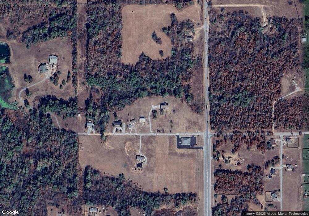
Map
Nearby Homes
- 2110 N Main St
- 0000 E 480
- Lot 14 Block 6 (Piney Woods) E 330 Rd
- Lot 6 Block 12 (Piney Woods) S 576 Rd
- Lot 7 Block 12 (Piney Woods) S 576 Rd
- Lot 16 Block 6 (Piney Woods) E 330 Rd
- Lot 26 Block 14 (Piney Woods) S 576 Rd
- Lot 8 Block 12 (Piney Woods) S 576 Rd
- 0 E 380 Rd Unit 2608547
- 0 E 380 Rd Unit 2601270
- 0 N Main St
- 46420 S 590
- 11369 E 380 Rd
- 0 Monroe St E Unit 26-45
- 908 W Osage
- TBD W Leonard St
- 604 N 4th St
- 803 N 5th St
- E 340th Rd
- 109 W Gray St
- 2471 N Main St
- 12347 E 398th Rd
- 0 E Deerlick Rd
- 12300 E 389 Rd
- 0 E 389 Rd Unit 11-1072
- 0 E 389 Rd Unit 17-2828
- 0 E 389 Rd Unit 20-333
- 12310 E 389 Rd
- 389 E Rd
- 2416 N Main St
- 2489 N Evenson Rd
- 2413 Shotpouch Dr
- 1751 N Evenson Rd
- 2419 Shotpouch Dr
- 2421 Chopper Dr
- 2498 N Evenson Rd
- 2314 N Main St
- 0 Rt 5 Deerlick Rd
- 2411 Shotpouch Dr
- 2488 N Evenson Rd
Your Personal Tour Guide
Ask me questions while you tour the home.