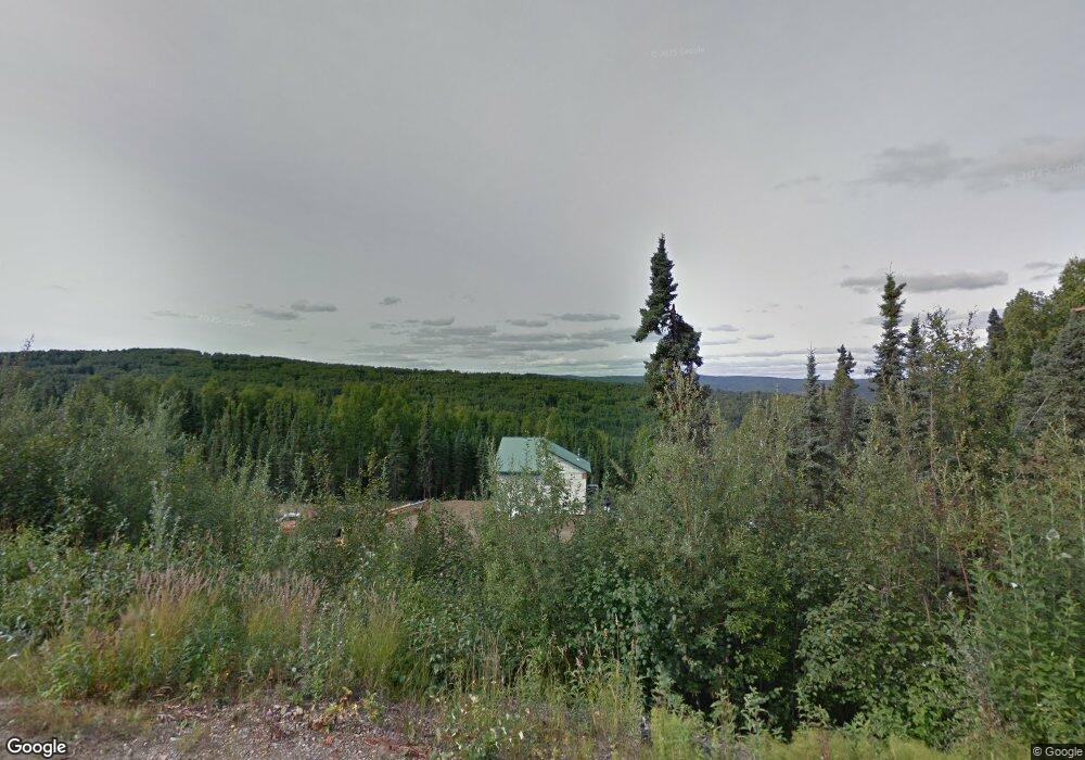
1235 Blackberry Dr Fairbanks, AK 99712
Farmers Loop NeighborhoodEstimated Value: $237,000 - $322,000
--
Bed
2
Baths
1,536
Sq Ft
$182/Sq Ft
Est. Value
About This Home
This home is located at 1235 Blackberry Dr, Fairbanks, AK 99712 and is currently estimated at $279,290, approximately $181 per square foot. 1235 Blackberry Dr is a home with nearby schools including Weller Elementary School, Tanana Middle School, and Lathrop High School.
Ownership History
Date
Name
Owned For
Owner Type
Purchase Details
Closed on
Aug 13, 2009
Sold by
Zalewski Nathaniel J
Bought by
Brandenburg Kris
Current Estimated Value
Purchase Details
Closed on
Apr 23, 2003
Sold by
Simano Peter H and Simano Peter J
Bought by
Zalewski Nathaniel J
Home Financials for this Owner
Home Financials are based on the most recent Mortgage that was taken out on this home.
Original Mortgage
$16,425
Interest Rate
5.54%
Create a Home Valuation Report for This Property
The Home Valuation Report is an in-depth analysis detailing your home's value as well as a comparison with similar homes in the area
Home Values in the Area
Average Home Value in this Area
Purchase History
| Date | Buyer | Sale Price | Title Company |
|---|---|---|---|
| Brandenburg Kris | -- | Accommodation | |
| Zalewski Nathaniel J | -- | -- |
Source: Public Records
Mortgage History
| Date | Status | Borrower | Loan Amount |
|---|---|---|---|
| Previous Owner | Zalewski Nathaniel J | $16,425 |
Source: Public Records
Tax History Compared to Growth
Tax History
| Year | Tax Paid | Tax Assessment Tax Assessment Total Assessment is a certain percentage of the fair market value that is determined by local assessors to be the total taxable value of land and additions on the property. | Land | Improvement |
|---|---|---|---|---|
| 2025 | $4,054 | $265,077 | $14,186 | $250,891 |
| 2024 | $4,016 | $263,299 | $14,186 | $249,113 |
| 2023 | $3,946 | $263,383 | $14,186 | $249,197 |
| 2022 | $3,897 | $240,898 | $14,186 | $226,712 |
| 2021 | $3,708 | $214,677 | $14,186 | $200,491 |
| 2020 | $3,633 | $209,708 | $14,186 | $195,522 |
| 2019 | $3,574 | $208,009 | $14,186 | $193,823 |
| 2018 | $3,243 | $202,211 | $14,186 | $188,025 |
| 2017 | $3,443 | $199,834 | $14,186 | $185,648 |
| 2016 | $2,964 | $178,630 | $14,186 | $164,444 |
| 2015 | $1,415 | $174,681 | $14,186 | $160,495 |
| 2014 | $1,415 | $174,681 | $14,186 | $160,495 |
Source: Public Records
Map
Nearby Homes
- 169 Eagle Ridge Rd
- 1295 Blackberry Dr
- L31 Arctic Tern Dr
- 300 Hawk Rd
- 1428 Kirk Cir
- 504 Eagle Ridge Rd
- 1212 Little Fox Trail
- 1211 Broadview Dr
- NHN Constance Ct
- NHN Whistling Swan Dr
- NHN Birch Hollow Ct
- NHN Sourdough St
- NHN Jade St
- 265 E Rambling Rd
- NHN Golden Heart Dr
- 320 Woodland Ave
- 1068 Old Steese Hwy N
- 1040 Vernal St
- 309 Bullion Dr
- 325 Bullion Dr
- 1237 Blackberry Dr
- 150 Currant Ct
- 1195 Blackberry Dr
- 155 Currant Ct
- 1255 Blackberry Dr
- 194 Eagle Ridge Rd
- 140 Currant Ct
- 145 Currant Ct
- 174 Eagle Ridge Rd
- 130 Currant Ct
- 210 Eagle Ridge Rd
- 120 Currant Ct
- 125 Currant Ct
- 191 Eagle Ridge Rd
- 136 Eagle Ridge Rd
- 1275 Blackberry Dr
- 1270 Blackberry Dr
- 110 Currant Ct
- 234 Eagle Ridge Rd
- 105 Currant Ct