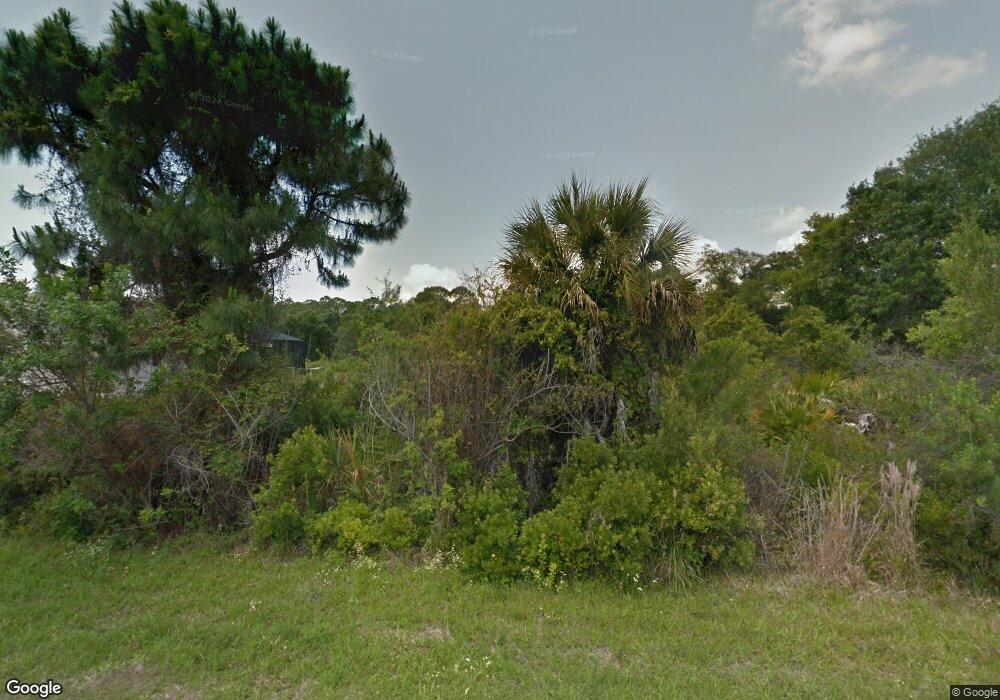
1235 Keesler St Port Charlotte, FL 33953
Northwest Port Charlotte NeighborhoodEstimated Value: $266,000 - $417,000
--
Bed
2
Baths
1,344
Sq Ft
$262/Sq Ft
Est. Value
About This Home
This home is located at 1235 Keesler St, Port Charlotte, FL 33953 and is currently estimated at $351,765, approximately $261 per square foot. 1235 Keesler St is a home located in Charlotte County with nearby schools including Liberty Elementary School, Murdock Middle School, and Port Charlotte High School.
Ownership History
Date
Name
Owned For
Owner Type
Purchase Details
Closed on
Oct 31, 2016
Sold by
Najmi Properties Inc
Bought by
Hall Denise L and Ogle Lucinada M
Current Estimated Value
Purchase Details
Closed on
Sep 8, 2015
Sold by
Domek Joan M
Bought by
Ogle Lucinda M and Hall Denise L
Purchase Details
Closed on
Jun 24, 2005
Sold by
Sunset Property Group
Bought by
Wallace Thomas and Schwatka Walter
Create a Home Valuation Report for This Property
The Home Valuation Report is an in-depth analysis detailing your home's value as well as a comparison with similar homes in the area
Home Values in the Area
Average Home Value in this Area
Purchase History
| Date | Buyer | Sale Price | Title Company |
|---|---|---|---|
| Hall Denise L | $4,999 | Integrity Title Services Inc | |
| Ogle Lucinda M | $2,800 | Americas Title Corp | |
| Wallace Thomas | $41,900 | Security Title & Trust Inc |
Source: Public Records
Tax History Compared to Growth
Tax History
| Year | Tax Paid | Tax Assessment Tax Assessment Total Assessment is a certain percentage of the fair market value that is determined by local assessors to be the total taxable value of land and additions on the property. | Land | Improvement |
|---|---|---|---|---|
| 2024 | $2,121 | $106,010 | -- | -- |
| 2023 | $2,121 | $102,922 | $0 | $0 |
| 2022 | $2,026 | $99,924 | $0 | $0 |
| 2021 | $2,007 | $97,014 | $0 | $0 |
| 2020 | $1,952 | $95,675 | $0 | $0 |
| 2019 | $1,864 | $93,524 | $0 | $0 |
| 2018 | $1,729 | $91,780 | $0 | $0 |
| 2017 | $364 | $3,362 | $3,362 | $0 |
| 2016 | $360 | $3,219 | $0 | $0 |
| 2015 | $356 | $2,933 | $0 | $0 |
| 2014 | $254 | $2,912 | $0 | $0 |
Source: Public Records
Map
Nearby Homes
- 1259 Keesler St
- 14111 Gailwood Ave
- 14012 Gailwood Ave
- 1216 Jacobs St
- 14011 Canadian Ave
- 14012 Hendricks Ave
- 1264 Jacobs St
- 14076 Carrie Ave
- 14028 Carrie Ave
- 14020 Carrie Ave
- 14012 Carrie Ave
- 14103 Carrie Ave
- 13461 Carrie Ave
- 13437 Carrie Ave
- 1243 Grendon St
- 14035 Gailwood Ave
- 1228 Casper St
- 0 Casper St
- 1296 Jacobs St
- 14043 Carrie Ave