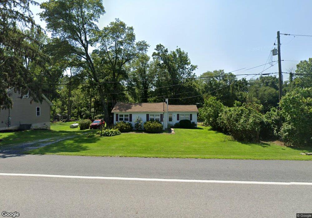
1235 Lewisberry Rd Lewisberry, PA 17339
Estimated Value: $193,000 - $258,000
2
Beds
1
Bath
822
Sq Ft
$263/Sq Ft
Est. Value
About This Home
This home is located at 1235 Lewisberry Rd, Lewisberry, PA 17339 and is currently estimated at $216,059, approximately $262 per square foot. 1235 Lewisberry Rd is a home located in York County with nearby schools including Fairview Elementary School, Allen Middle School, and Red Land Senior High School.
Ownership History
Date
Name
Owned For
Owner Type
Purchase Details
Closed on
Apr 6, 2012
Sold by
Brown Cecil J and Brown David A
Bought by
Brown Richard E
Current Estimated Value
Purchase Details
Closed on
Dec 23, 2002
Sold by
Brown Cecil J and Brown Dorothy A
Bought by
Brown Cecil J and Brown Dorothy A
Purchase Details
Closed on
Jul 16, 2002
Sold by
Waterfield Mtg Company Inc
Bought by
Hud
Purchase Details
Closed on
Jul 10, 2002
Sold by
Balliet John F and Balliet Virginia E
Bought by
Waterfield Mtg Company Inc
Create a Home Valuation Report for This Property
The Home Valuation Report is an in-depth analysis detailing your home's value as well as a comparison with similar homes in the area
Home Values in the Area
Average Home Value in this Area
Purchase History
| Date | Buyer | Sale Price | Title Company |
|---|---|---|---|
| Brown Richard E | -- | None Available | |
| Brown Cecil J | -- | -- | |
| Brown Cecil J | $55,000 | -- | |
| Hud | -- | -- | |
| Waterfield Mtg Company Inc | $1,396 | -- |
Source: Public Records
Tax History Compared to Growth
Tax History
| Year | Tax Paid | Tax Assessment Tax Assessment Total Assessment is a certain percentage of the fair market value that is determined by local assessors to be the total taxable value of land and additions on the property. | Land | Improvement |
|---|---|---|---|---|
| 2025 | $2,500 | $95,470 | $43,240 | $52,230 |
| 2024 | $2,367 | $95,470 | $42,810 | $52,660 |
| 2023 | $2,302 | $95,470 | $42,810 | $52,660 |
| 2022 | $2,295 | $95,470 | $42,810 | $52,660 |
| 2021 | $2,159 | $95,470 | $42,810 | $52,660 |
| 2020 | $2,133 | $95,470 | $42,810 | $52,660 |
| 2019 | $2,096 | $95,470 | $42,810 | $52,660 |
| 2018 | $2,055 | $95,470 | $42,810 | $52,660 |
| 2017 | $1,986 | $95,470 | $42,810 | $52,660 |
| 2016 | $0 | $95,470 | $42,810 | $52,660 |
| 2015 | -- | $95,470 | $42,810 | $52,660 |
| 2014 | -- | $95,470 | $42,810 | $52,660 |
Source: Public Records
Map
Nearby Homes
- 0 Silver Lake Rd Unit PAYK2089288
- 302 W Front St
- 320 E Front St
- 833 Stonybrook Ln
- 701 Potts Hill Rd
- 910 Emanuel Rd
- 633 Potts Hill Rd
- 720 Pleasant Dr
- 635 Observatory Dr
- 719 Pleasant View Rd
- 15 Cedar Dr
- 706 Pleasant View Rd
- 300 Ridge Rd
- 300 Ridge Rd Unit 42
- 565 Nauvoo Rd
- 814 Moores Mountain Rd
- 450 Ridge Rd Unit 7
- 142 Scully Place
- 85 Hilldale Rd
- 100 Scully Place
- 1237 Lewisberry Rd
- 778 Siddonsburg Rd
- 780 Siddonsburg Rd
- 782 Siddonsburg Rd
- 784 Siddonsburg Rd
- 799 Siddonsburg Rd
- 786 Siddonsburg Rd
- 770 Siddonsburg Rd
- 800 West St
- 801 West St
- 800 Marie Ave
- 803 West St
- 802 Marie Ave
- 804 West St
- 801 Siddonsburg Rd
- 766 Siddonsburg Rd
- 805 West St
- 804 Marie Ave
- 807 West St
- 1218 Lewisberry Rd