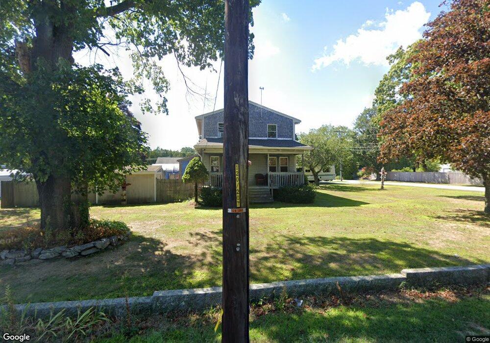
1235 Main St Acushnet, MA 02743
Estimated Value: $495,676 - $599,000
4
Beds
2
Baths
1,500
Sq Ft
$361/Sq Ft
Est. Value
About This Home
This home is located at 1235 Main St, Acushnet, MA 02743 and is currently estimated at $541,169, approximately $360 per square foot. 1235 Main St is a home located in Bristol County with nearby schools including Acushnet Elementary School, Albert F Ford Middle School, and St Francis Xavier Elementary School.
Create a Home Valuation Report for This Property
The Home Valuation Report is an in-depth analysis detailing your home's value as well as a comparison with similar homes in the area
Home Values in the Area
Average Home Value in this Area
Tax History Compared to Growth
Tax History
| Year | Tax Paid | Tax Assessment Tax Assessment Total Assessment is a certain percentage of the fair market value that is determined by local assessors to be the total taxable value of land and additions on the property. | Land | Improvement |
|---|---|---|---|---|
| 2025 | $44 | $404,700 | $128,800 | $275,900 |
| 2024 | $4,082 | $357,800 | $122,000 | $235,800 |
| 2023 | $4,021 | $335,100 | $110,700 | $224,400 |
| 2022 | $3,774 | $284,400 | $103,900 | $180,500 |
| 2021 | $3,728 | $268,500 | $103,900 | $164,600 |
| 2020 | $3,241 | $261,800 | $97,200 | $164,600 |
| 2019 | $3,024 | $248,600 | $92,600 | $156,000 |
| 2018 | $3,388 | $236,900 | $92,600 | $144,300 |
| 2017 | $2,464 | $228,900 | $92,600 | $136,300 |
| 2016 | $3,115 | $214,400 | $92,600 | $121,800 |
| 2015 | $3,062 | $214,400 | $92,600 | $121,800 |
Source: Public Records
Map
Nearby Homes
- 1 Clems Way
- 21 Robinson Rd
- 168 Keene Rd
- 0 Confidential Way Unit 73340085
- 28 Cedar Hill Dr
- 649 Middle Rd
- 135 Pine St
- 0 Rounseville Rd
- 43 Hartley Rd
- 1 Rounseville Rd
- 2 Woodland Rd
- 16 Morses Ln
- 661 Main St
- 7 Morses Ln
- 3 Morses Ln
- 26 Blueberry Dr
- 50 Blueberry Dr
- 319 Northwest St
- 57 Perry Hill Rd
- 353 Upland St