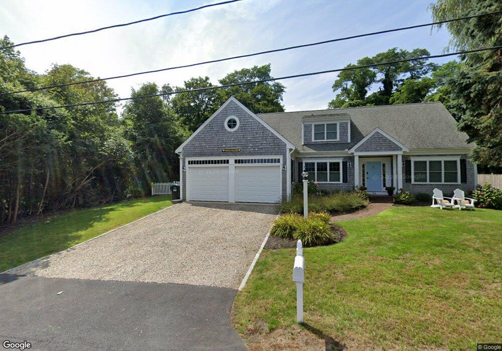
1235 Main St Unit 1 Chatham, MA 02633
West Chatham NeighborhoodEstimated Value: $844,000 - $1,229,464
2
Beds
2
Baths
1,168
Sq Ft
$936/Sq Ft
Est. Value
About This Home
This home is located at 1235 Main St Unit 1, Chatham, MA 02633 and is currently estimated at $1,092,866, approximately $935 per square foot. 1235 Main St Unit 1 is a home located in Barnstable County with nearby schools including Chatham Elementary School, Harwich Elementary School, and Monomoy Regional Middle School.
Ownership History
Date
Name
Owned For
Owner Type
Purchase Details
Closed on
Jan 9, 2006
Sold by
Lahey Henry C and Lahey Margaret M
Bought by
Baldari Anita M and Baldari Ross A
Current Estimated Value
Home Financials for this Owner
Home Financials are based on the most recent Mortgage that was taken out on this home.
Original Mortgage
$450,000
Outstanding Balance
$253,084
Interest Rate
6.28%
Mortgage Type
Purchase Money Mortgage
Estimated Equity
$839,782
Create a Home Valuation Report for This Property
The Home Valuation Report is an in-depth analysis detailing your home's value as well as a comparison with similar homes in the area
Home Values in the Area
Average Home Value in this Area
Purchase History
| Date | Buyer | Sale Price | Title Company |
|---|---|---|---|
| Baldari Anita M | $608,750 | -- |
Source: Public Records
Mortgage History
| Date | Status | Borrower | Loan Amount |
|---|---|---|---|
| Open | Baldari Anita M | $450,000 |
Source: Public Records
Tax History Compared to Growth
Tax History
| Year | Tax Paid | Tax Assessment Tax Assessment Total Assessment is a certain percentage of the fair market value that is determined by local assessors to be the total taxable value of land and additions on the property. | Land | Improvement |
|---|---|---|---|---|
| 2025 | $4,222 | $1,216,600 | $0 | $1,216,600 |
| 2024 | $4,526 | $1,267,800 | $0 | $1,267,800 |
| 2023 | $4,401 | $1,134,300 | $0 | $1,134,300 |
| 2022 | $4,619 | $999,700 | $0 | $999,700 |
| 2021 | $3,965 | $796,100 | $0 | $796,100 |
| 2020 | $3,876 | $804,100 | $0 | $804,100 |
| 2019 | $2,927 | $603,600 | $0 | $603,600 |
| 2018 | $2,911 | $597,800 | $0 | $597,800 |
| 2017 | $2,528 | $502,500 | $0 | $502,500 |
| 2016 | $2,428 | $483,600 | $0 | $483,600 |
| 2015 | $2,414 | $483,800 | $0 | $483,800 |
| 2014 | $2,458 | $483,800 | $0 | $483,800 |
Source: Public Records
Map
Nearby Homes
- 14 Pond View Ln
- 99 Uncle Alberts Drive Extension
- 58 Oyster Bluff
- 19 Captain Richards Way Unit 1
- 912 Main St Unit 304
- 29 Jessies Landing
- 13 Captain Knowles Way
- 14 Squanto Dr
- 55 Winterset Dr
- 287 Cedar St
- 98 Horizon Dr
- 85 Cedar St
- 56 Skyline Dr
- 231 Crowell Rd
- 12 Pond St
- 207 Horizon Dr
- 27 Martha Kendrick Dr
- 40 Youngs Farm Ln
- 0 George Ryder Rd Unit 73104629
- 1235 Main St Unit 8
- 1235 Main St Unit 7
- 1235 Main St Unit 6
- 1235 Main St Unit 5
- 1235 Main St Unit 4
- 1235 Main St Unit 3
- 1235 Main St Unit 2
- 1235 Main St Unit IF
- 68 Uncle Alberts Dr
- 1233 Main St
- 1233 Main St Unit 14
- 54 Uncle Alberts Dr
- 70 Uncle Alberts Dr
- 46 Uncle Alberts Dr
- 0 Uncle Alberts Dr
- Lot C3 Uncle Alberts Dr
- 5 Uncle Alberts Dr
- 1237 Main St Unit 16
- 1237 Main St Unit 15
- 1237 Main St Unit 14