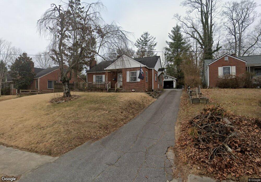
1235 N Main St Hendersonville, NC 28792
Estimated Value: $264,000 - $298,000
2
Beds
1
Bath
1,012
Sq Ft
$279/Sq Ft
Est. Value
About This Home
This home is located at 1235 N Main St, Hendersonville, NC 28792 and is currently estimated at $281,947, approximately $278 per square foot. 1235 N Main St is a home located in Henderson County with nearby schools including Bruce Drysdale Elementary School, Hendersonville Middle School, and Hendersonville High School.
Ownership History
Date
Name
Owned For
Owner Type
Purchase Details
Closed on
Apr 22, 2005
Sold by
Not Provided
Bought by
Linson Lance M
Current Estimated Value
Home Financials for this Owner
Home Financials are based on the most recent Mortgage that was taken out on this home.
Original Mortgage
$121,100
Outstanding Balance
$62,533
Interest Rate
5.79%
Mortgage Type
Purchase Money Mortgage
Estimated Equity
$219,414
Create a Home Valuation Report for This Property
The Home Valuation Report is an in-depth analysis detailing your home's value as well as a comparison with similar homes in the area
Home Values in the Area
Average Home Value in this Area
Purchase History
| Date | Buyer | Sale Price | Title Company |
|---|---|---|---|
| Linson Lance M | -- | -- |
Source: Public Records
Mortgage History
| Date | Status | Borrower | Loan Amount |
|---|---|---|---|
| Open | Linson Lance M | $121,100 |
Source: Public Records
Tax History Compared to Growth
Tax History
| Year | Tax Paid | Tax Assessment Tax Assessment Total Assessment is a certain percentage of the fair market value that is determined by local assessors to be the total taxable value of land and additions on the property. | Land | Improvement |
|---|---|---|---|---|
| 2025 | $1,998 | $210,100 | $89,300 | $120,800 |
| 2024 | $1,998 | $210,100 | $89,300 | $120,800 |
| 2023 | $1,935 | $210,100 | $89,300 | $120,800 |
| 2022 | $1,357 | $125,500 | $40,200 | $85,300 |
| 2021 | $1,357 | $125,500 | $40,200 | $85,300 |
| 2020 | $1,319 | $125,500 | $0 | $0 |
| 2019 | $1,319 | $125,500 | $0 | $0 |
| 2018 | $579 | $102,400 | $0 | $0 |
| 2017 | $579 | $102,400 | $0 | $0 |
| 2016 | $509 | $90,000 | $0 | $0 |
| 2015 | -- | $90,000 | $0 | $0 |
| 2014 | -- | $88,000 | $0 | $0 |
Source: Public Records
Map
Nearby Homes
- 616 Ray Ave
- 00 Locust Grove Rd Unit 2
- 3.02AC 9th Ave E
- 1102 N Justice St
- 903 Fleming St
- 1534 Kensington Rd
- 0 Us 64 Hwy Unit CAR4230460
- 1411 Kensington Rd Unit C1
- 1409 Kensington Rd Unit B8
- 227 7th Ave W Unit 322
- 227 7th Ave W Unit 230
- 227 7th Ave W Unit 422
- 5 Caroline Valley Ln
- 13 Caroline Valley Ln
- 19 Caroline Valley Ln
- Robie Plan at Providence Walk
- Elston Plan at Providence Walk
- Maywood Plan at Providence Walk
- Darwin Plan at Providence Walk
- Rachel Plan at Providence Walk
- 1237 N Main St
- 1233 N Main St
- 1239 N Main St
- 1243 N Main St Unit 1243
- 1231 N Main St
- 1210 Hyman Ave
- 1202 Hyman Ave
- 1130 Hyman Ave
- 1257 N Main St
- 1220 Hyman Ave
- 1124 Hyman Ave
- 1232 N Main St
- 1226 Hyman Ave
- 1116 Hyman Ave
- 000 N Main St
- 1205 Hyman Ave
- 1205 Hyman Ave
- 1275 N Main St
- 1230 N Main St
- 1201 Hyman Ave