1235 S 11th St Coos Bay, OR 97420
Estimated Value: $304,310 - $355,000
3
Beds
2
Baths
1,264
Sq Ft
$261/Sq Ft
Est. Value
About This Home
This home is located at 1235 S 11th St, Coos Bay, OR 97420 and is currently estimated at $329,655, approximately $260 per square foot. 1235 S 11th St is a home located in Coos County with nearby schools including Eastside School, Millicoma School, and Marshfield Senior High School.
Ownership History
Date
Name
Owned For
Owner Type
Purchase Details
Closed on
Oct 15, 2014
Sold by
Smith Glenn L
Bought by
Collins Daniel
Current Estimated Value
Purchase Details
Closed on
Apr 20, 2010
Sold by
Bender Reese E
Bought by
Smith Glenn L
Home Financials for this Owner
Home Financials are based on the most recent Mortgage that was taken out on this home.
Original Mortgage
$149,000
Interest Rate
4.91%
Mortgage Type
VA
Purchase Details
Closed on
May 10, 2004
Sold by
Bender Carol
Bought by
Bender Reese E
Create a Home Valuation Report for This Property
The Home Valuation Report is an in-depth analysis detailing your home's value as well as a comparison with similar homes in the area
Home Values in the Area
Average Home Value in this Area
Purchase History
| Date | Buyer | Sale Price | Title Company |
|---|---|---|---|
| Collins Daniel | $155,000 | Ticor Title Company | |
| Smith Glenn L | $149,000 | Ticor Title Insurance | |
| Bender Reese E | -- | -- |
Source: Public Records
Mortgage History
| Date | Status | Borrower | Loan Amount |
|---|---|---|---|
| Previous Owner | Smith Glenn L | $149,000 |
Source: Public Records
Tax History Compared to Growth
Tax History
| Year | Tax Paid | Tax Assessment Tax Assessment Total Assessment is a certain percentage of the fair market value that is determined by local assessors to be the total taxable value of land and additions on the property. | Land | Improvement |
|---|---|---|---|---|
| 2024 | $2,672 | $153,700 | -- | -- |
| 2023 | $2,591 | $149,230 | $0 | $0 |
| 2022 | $2,548 | $144,890 | $0 | $0 |
| 2021 | $2,482 | $140,670 | $0 | $0 |
| 2020 | $2,412 | $140,670 | $0 | $0 |
| 2019 | $2,316 | $132,610 | $0 | $0 |
| 2018 | $2,236 | $128,750 | $0 | $0 |
| 2017 | $1,982 | $125,000 | $0 | $0 |
| 2016 | $1,892 | $121,360 | $0 | $0 |
| 2015 | $1,412 | $117,830 | $0 | $0 |
| 2014 | $1,412 | $114,400 | $0 | $0 |
Source: Public Records
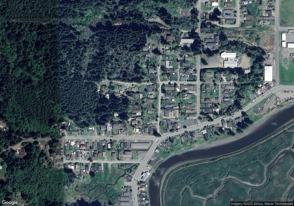
Map
Nearby Homes
- 1348 Dakota Ave
- 1351 Dakota St
- 766 Southwest Blvd
- 0 Minnesota
- 1050 S 8th St
- 1169 Washington Ave
- 1138 Oregon Ave
- 1194 Oregon Ave
- 1123 Oregon Ave
- 1390 Washington Ave
- 1300 Ingersoll St
- 905 Ingersoll St
- 0 Johnson Ave
- 1395 Ingersoll St
- 93195 Coal Bank Ln
- 1320 Ingersoll St
- 955 S 5th St
- 834 S 11th St
- 831 S 11th St
- 0 California Ave
- 1267 S 11th St
- 1205 S 11th St
- 1232 S 12th St
- 1275 S 11th St Unit 1
- 1275 S 11th St
- 1201 S 11th St
- 1270 S 12th St
- 1151 W Lockhart Ave
- 1234 S 11th St
- 1155 W Lockhart Ave
- 1244 S 11th St
- 1236 S 11th St
- 1276 S 12th St
- 1085 W Lockhart Ave
- 1075 W Lockhart Ave
- 1144 Minnesota Ave
- 1142 Minnesota Ave
- 1148 Minnesota Ave
- 1197 S 11th St
- 1084 Southwest Blvd