1235 W Deep Forest Rd Unit 152 Coalville, UT 84017
Estimated Value: $896,000 - $1,085,000
5
Beds
2
Baths
3,236
Sq Ft
$310/Sq Ft
Est. Value
About This Home
This home is located at 1235 W Deep Forest Rd Unit 152, Coalville, UT 84017 and is currently estimated at $1,002,496, approximately $309 per square foot. 1235 W Deep Forest Rd Unit 152 is a home located in Summit County with nearby schools including North Summit Middle School, North Summit Elementary School, and North Summit High School.
Ownership History
Date
Name
Owned For
Owner Type
Purchase Details
Closed on
Apr 26, 2024
Sold by
Bodeen Kris I and Bodeen Phuong
Bought by
Godecka Maria E
Current Estimated Value
Purchase Details
Closed on
Oct 4, 2021
Sold by
Bartel Paul L and Dirado Marion
Bought by
Bodeen Kris I and Bodeen Phuong
Home Financials for this Owner
Home Financials are based on the most recent Mortgage that was taken out on this home.
Original Mortgage
$724,800
Interest Rate
2.8%
Mortgage Type
New Conventional
Create a Home Valuation Report for This Property
The Home Valuation Report is an in-depth analysis detailing your home's value as well as a comparison with similar homes in the area
Home Values in the Area
Average Home Value in this Area
Purchase History
| Date | Buyer | Sale Price | Title Company |
|---|---|---|---|
| Godecka Maria E | -- | Silver Leaf Title Insurance Ag | |
| Bodeen Kris I | -- | Us Title Insurance Agency |
Source: Public Records
Mortgage History
| Date | Status | Borrower | Loan Amount |
|---|---|---|---|
| Previous Owner | Bodeen Kris I | $724,800 |
Source: Public Records
Tax History Compared to Growth
Tax History
| Year | Tax Paid | Tax Assessment Tax Assessment Total Assessment is a certain percentage of the fair market value that is determined by local assessors to be the total taxable value of land and additions on the property. | Land | Improvement |
|---|---|---|---|---|
| 2024 | $4,637 | $739,305 | $255,900 | $483,405 |
| 2023 | $4,637 | $836,008 | $203,000 | $633,008 |
| 2022 | $3,868 | $700,574 | $137,900 | $562,674 |
| 2021 | $3,291 | $488,016 | $112,900 | $375,116 |
| 2020 | $3,461 | $488,016 | $112,900 | $375,116 |
| 2019 | $3,963 | $488,016 | $112,900 | $375,116 |
| 2018 | $3,277 | $403,615 | $112,900 | $290,715 |
| 2017 | $2,814 | $362,115 | $71,400 | $290,715 |
| 2016 | $2,976 | $362,115 | $71,400 | $290,715 |
| 2015 | $2,999 | $348,615 | $0 | $0 |
| 2013 | $3,281 | $378,627 | $0 | $0 |
Source: Public Records
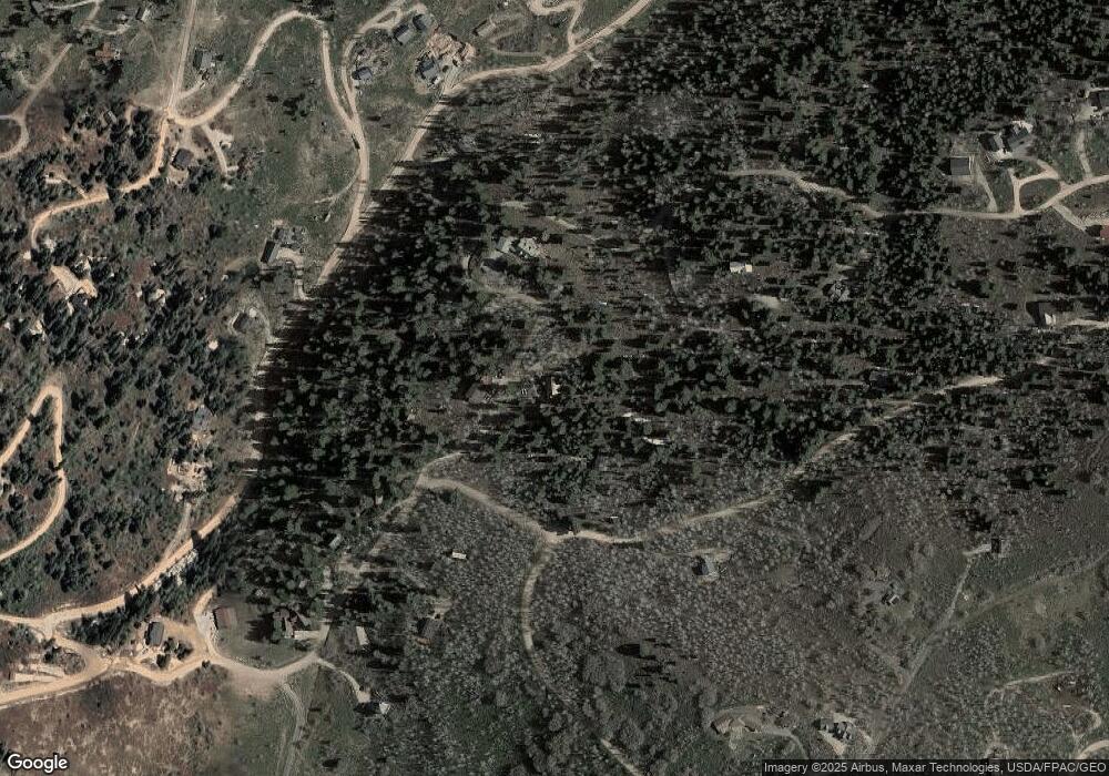
Map
Nearby Homes
- 2261 Pine Meadow Dr
- 1430 W Arapaho Dr Unit 59
- 1430 W Arapaho Dr
- 2422 S Valley View Rd
- 2393 S Navajo Dr Unit Pi-C-47
- 2393 S Navajo Dr Unit C-47
- 2421 S Navajo Dr Unit PI-C50
- 2421 Navajo Rd
- 2481 Forest Meadow Rd Unit D91
- 2458 S Forest Meadow Rd
- 1598 Arapaho Dr Unit 93
- 1598 Arapaho Dr
- 2560 S Valley View Rd Unit 1
- 1065 Beaver Cir
- 1215 Elk Rd
- 1678 W Alexander Canyon Rd Unit D-92
- 700 W Forgotten Ln
- 2684 S Forest Meadow Rd
- 2684 S Forest Meadow Rd Unit Fm-C-86-A-Am
- 2727 S Valley View Rd
- 1235 W Deep Forest Rd
- 76 W Deep Forest Rd
- 1271 W Deep Forest Rd
- 1250 W Deep Forest Rd
- 1250 W Deepforest Rd Unit 77
- 1250 W Deep Forest Rd Unit 77
- 1264 W Deep Forest Rd
- 1264 W Deepforest Rd Unit 76
- 1264 W Deep Forest Rd Unit 76
- 1196 W Deep Forest Rd
- 0 20 30 Acres In Tollgate Unit 12003030
- 1185 W Deep Forest Rd Unit 153
- 1185 W Deep Forest Rd
- 1284 W Deep Forest Rd
- 1184 W Deep Forest Rd
- 1270 Arapaho Dr Unit C-73
- 1270 Arapaho Dr
- 1270 Arapaho Dr
- 1270 Arapaho Dr Unit 73
- 0 C 71 Arapahoe