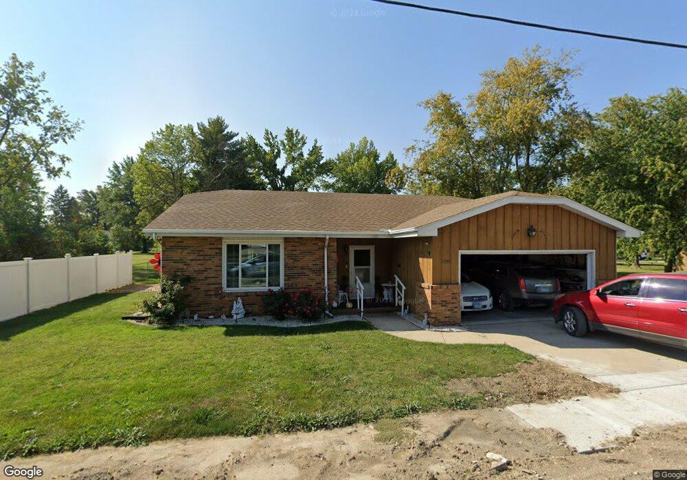
1235 W Pershing Rd Decatur, IL 62526
Highland Place NeighborhoodEstimated Value: $132,074 - $157,000
3
Beds
2
Baths
1,500
Sq Ft
$97/Sq Ft
Est. Value
About This Home
This home is located at 1235 W Pershing Rd, Decatur, IL 62526 and is currently estimated at $145,519, approximately $97 per square foot. 1235 W Pershing Rd is a home located in Macon County with nearby schools including Stephen Decatur Middle School, Our Lady of Lourdes School, and Antioch Christian Academy.
Ownership History
Date
Name
Owned For
Owner Type
Purchase Details
Closed on
Jun 20, 2008
Sold by
Busey Trust Company
Bought by
Stone Willie J and Stone Jewell
Current Estimated Value
Home Financials for this Owner
Home Financials are based on the most recent Mortgage that was taken out on this home.
Original Mortgage
$70,000
Outstanding Balance
$44,919
Interest Rate
6.05%
Mortgage Type
New Conventional
Estimated Equity
$100,600
Purchase Details
Closed on
Aug 1, 1997
Create a Home Valuation Report for This Property
The Home Valuation Report is an in-depth analysis detailing your home's value as well as a comparison with similar homes in the area
Home Values in the Area
Average Home Value in this Area
Purchase History
| Date | Buyer | Sale Price | Title Company |
|---|---|---|---|
| Stone Willie J | $80,000 | Central Illinois Title Co | |
| -- | $69,500 | -- |
Source: Public Records
Mortgage History
| Date | Status | Borrower | Loan Amount |
|---|---|---|---|
| Open | Stone Willie J | $70,000 |
Source: Public Records
Tax History
| Year | Tax Paid | Tax Assessment Tax Assessment Total Assessment is a certain percentage of the fair market value that is determined by local assessors to be the total taxable value of land and additions on the property. | Land | Improvement |
|---|---|---|---|---|
| 2024 | $2,097 | $32,664 | $4,891 | $27,773 |
| 2023 | $2,041 | $31,508 | $4,718 | $26,790 |
| 2022 | $1,857 | $29,156 | $4,366 | $24,790 |
| 2021 | $1,670 | $27,229 | $4,077 | $23,152 |
| 2020 | $1,591 | $25,965 | $3,888 | $22,077 |
| 2019 | $1,591 | $25,965 | $3,888 | $22,077 |
| 2018 | $1,387 | $24,203 | $2,053 | $22,150 |
| 2017 | $1,451 | $24,849 | $2,108 | $22,741 |
| 2016 | $1,490 | $25,103 | $2,130 | $22,973 |
| 2015 | $1,907 | $24,659 | $2,092 | $22,567 |
| 2014 | $1,765 | $24,415 | $2,071 | $22,344 |
| 2013 | $1,846 | $25,332 | $2,149 | $23,183 |
Source: Public Records
Map
Nearby Homes
- 1351 W Pershing Rd
- 36 N Lynette Dr
- 3415 N University Ave
- 17 Montez Dr
- 1542 Riedel Ave
- 1607 W Melrose Ct
- 18 Maple Ct
- 23 Greenridge Dr
- 2420 N Summit Ave
- 2285 N Monroe St
- 2127 Riedel Ave
- 1225 W Pineview Ct
- 16 Arizona Dr
- 1929 W Ravina Park Rd
- 681 W Karen Ct
- 2320 N Kenwood Ct
- 665 Crestline Dr
- 30 Colorado Dr
- 139 Wisconsin Dr
- 2198 Gary Ct
- 2966 N Wilson Ave
- 2976 N Wilson Ave
- 1201 W Pershing Rd
- 2956 N Wilson Ave
- 675 W Pershing Rd
- 1222 W Pershing Rd
- 1212 W Pershing Rd
- 1232 W Pershing Rd
- 2951 N University Ave
- 2936 N Wilson Ave
- 1251 W Pershing Rd
- 3003 N University Ave
- 1242 W Pershing Rd
- 2955 N Wilson Ave
- 2904 N Wilson Ave
- 2911 N University Ave
- 3033 N University Ave
- 1265 W Pershing Rd
- 2935 N Wilson Ave
- 1272 W Pershing Rd
Your Personal Tour Guide
Ask me questions while you tour the home.