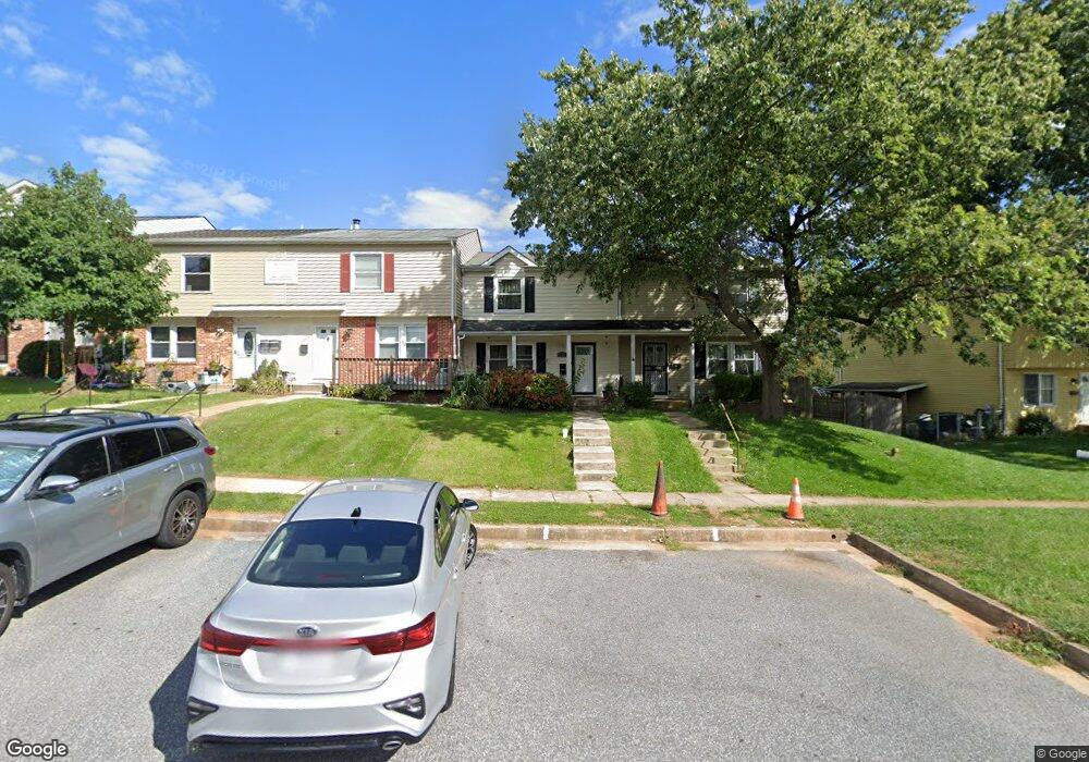
12351 Bonfire Dr Reisterstown, MD 21136
Estimated Value: $264,418 - $291,000
3
Beds
3
Baths
1,240
Sq Ft
$220/Sq Ft
Est. Value
About This Home
This home is located at 12351 Bonfire Dr, Reisterstown, MD 21136 and is currently estimated at $273,355, approximately $220 per square foot. 12351 Bonfire Dr is a home located in Baltimore County with nearby schools including Glyndon Elementary School, Franklin Middle, and Franklin High.
Ownership History
Date
Name
Owned For
Owner Type
Purchase Details
Closed on
Oct 1, 2008
Sold by
Brophy Merrill C
Bought by
Mackey Miriam
Current Estimated Value
Home Financials for this Owner
Home Financials are based on the most recent Mortgage that was taken out on this home.
Original Mortgage
$196,932
Outstanding Balance
$130,956
Interest Rate
6.43%
Mortgage Type
FHA
Estimated Equity
$142,399
Purchase Details
Closed on
Sep 25, 2008
Sold by
Brophy Merrill C
Bought by
Mackey Miriam
Home Financials for this Owner
Home Financials are based on the most recent Mortgage that was taken out on this home.
Original Mortgage
$196,932
Outstanding Balance
$130,956
Interest Rate
6.43%
Mortgage Type
FHA
Estimated Equity
$142,399
Purchase Details
Closed on
Aug 1, 2001
Sold by
Pryor Gene Steven
Bought by
Brophy Merrill C
Purchase Details
Closed on
Feb 19, 1993
Sold by
Sims Jacqueline M
Bought by
Pryor Gene Steven
Create a Home Valuation Report for This Property
The Home Valuation Report is an in-depth analysis detailing your home's value as well as a comparison with similar homes in the area
Home Values in the Area
Average Home Value in this Area
Purchase History
| Date | Buyer | Sale Price | Title Company |
|---|---|---|---|
| Mackey Miriam | $198,000 | -- | |
| Mackey Miriam | $198,000 | -- | |
| Brophy Merrill C | $102,500 | -- | |
| Pryor Gene Steven | $86,500 | -- |
Source: Public Records
Mortgage History
| Date | Status | Borrower | Loan Amount |
|---|---|---|---|
| Open | Mackey Miriam | $196,932 | |
| Closed | Mackey Miriam | $196,932 |
Source: Public Records
Tax History Compared to Growth
Tax History
| Year | Tax Paid | Tax Assessment Tax Assessment Total Assessment is a certain percentage of the fair market value that is determined by local assessors to be the total taxable value of land and additions on the property. | Land | Improvement |
|---|---|---|---|---|
| 2025 | $2,704 | $191,900 | -- | -- |
| 2024 | $2,704 | $177,400 | $45,700 | $131,700 |
| 2023 | $1,311 | $174,233 | $0 | $0 |
| 2022 | $2,551 | $171,067 | $0 | $0 |
| 2021 | $2,469 | $167,900 | $45,700 | $122,200 |
| 2020 | $2,469 | $162,700 | $0 | $0 |
| 2019 | $2,288 | $157,500 | $0 | $0 |
| 2018 | $2,336 | $152,300 | $45,700 | $106,600 |
| 2017 | $2,266 | $149,167 | $0 | $0 |
| 2016 | $2,696 | $146,033 | $0 | $0 |
| 2015 | $2,696 | $142,900 | $0 | $0 |
| 2014 | $2,696 | $142,900 | $0 | $0 |
Source: Public Records
Map
Nearby Homes
- 12314 Bonfire Dr
- 648 Glynock Place
- 10 Greensborough Rd
- 12 Greensborough Rd
- 12406 Old Grey Mare Ct
- 7 Putman Ct
- 1 Brampton Ct
- 10944 Baskerville Rd
- 611 Brickston Rd
- 10 Simpson Ct
- 49 Merino Ct
- 13 Bellinger Ct
- 15 Gloucester Ct
- 570 Kennington Rd
- 341 Central Ave
- 4 Romney Ct
- 10 Wensley Dale Ct
- 225 Highmeadow Rd
- 120 Lamport Rd
- 215 Greenview Ave
- 12349 Bonfire Dr
- 12347 Bonfire Dr
- 12353 Bonfire Dr
- 12345 Bonfire Dr
- 12355 Bonfire Dr
- 12343 Bonfire Dr
- 12357 Bonfire Dr
- 12341 Bonfire Dr
- 12359 Bonfire Dr
- 12339 Bonfire Dr
- 12346 Bonmot Place
- 12348 Bonmot Place
- 12337 Bonfire Dr
- 12356 Bonfire Dr
- 12354 Bonfire Dr
- 12352 Bonfire Dr
- 12358 Bonfire Dr
- 12350 Bonfire Dr
- 12344 Bonmot Place
- 12360 Bonfire Dr