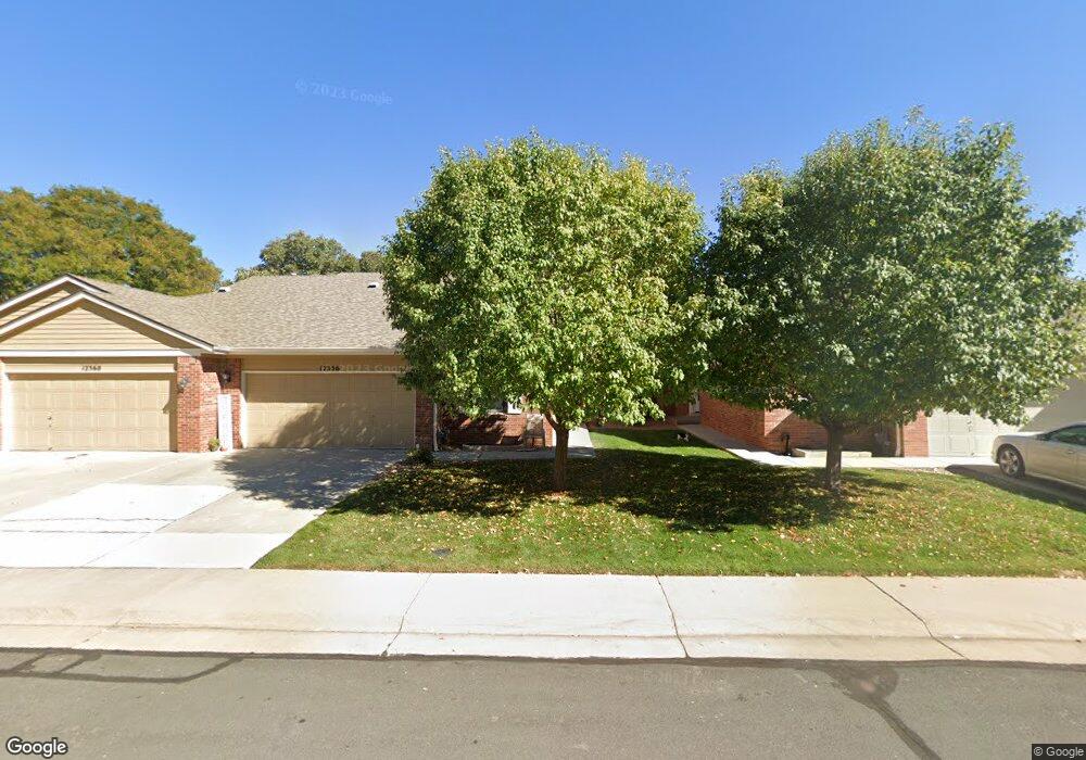
12356 Saint Paul Ct Thornton, CO 80241
Eastlake Village NeighborhoodEstimated Value: $447,000 - $467,000
3
Beds
3
Baths
1,213
Sq Ft
$376/Sq Ft
Est. Value
About This Home
This home is located at 12356 Saint Paul Ct, Thornton, CO 80241 and is currently estimated at $456,145, approximately $376 per square foot. 12356 Saint Paul Ct is a home located in Adams County with nearby schools including Stellar Elementary School, Century Middle School, and Mountain Range High School.
Ownership History
Date
Name
Owned For
Owner Type
Purchase Details
Closed on
Aug 20, 2007
Sold by
Gollands Rhonda L
Bought by
Coon Stephen D and Coon Theresa K
Current Estimated Value
Home Financials for this Owner
Home Financials are based on the most recent Mortgage that was taken out on this home.
Original Mortgage
$59,000
Outstanding Balance
$37,318
Interest Rate
6.64%
Mortgage Type
Unknown
Estimated Equity
$418,827
Purchase Details
Closed on
Feb 24, 2003
Sold by
Foster Shari L
Bought by
Foster Shari L and Gollands Rhonda L
Purchase Details
Closed on
Mar 18, 1993
Purchase Details
Closed on
Jul 30, 1992
Create a Home Valuation Report for This Property
The Home Valuation Report is an in-depth analysis detailing your home's value as well as a comparison with similar homes in the area
Home Values in the Area
Average Home Value in this Area
Purchase History
| Date | Buyer | Sale Price | Title Company |
|---|---|---|---|
| Coon Stephen D | $209,000 | American Liberty Title | |
| Foster Shari L | -- | -- | |
| -- | $103,500 | -- | |
| -- | $66,000 | -- |
Source: Public Records
Mortgage History
| Date | Status | Borrower | Loan Amount |
|---|---|---|---|
| Open | Coon Stephen D | $59,000 |
Source: Public Records
Tax History Compared to Growth
Tax History
| Year | Tax Paid | Tax Assessment Tax Assessment Total Assessment is a certain percentage of the fair market value that is determined by local assessors to be the total taxable value of land and additions on the property. | Land | Improvement |
|---|---|---|---|---|
| 2024 | $2,864 | $27,690 | $5,630 | $22,060 |
| 2023 | $2,835 | $31,390 | $5,070 | $26,320 |
| 2022 | $2,681 | $24,340 | $4,660 | $19,680 |
| 2021 | $2,771 | $24,340 | $4,660 | $19,680 |
| 2020 | $2,594 | $23,250 | $4,790 | $18,460 |
| 2019 | $2,599 | $23,250 | $4,790 | $18,460 |
| 2018 | $2,296 | $19,950 | $1,940 | $18,010 |
| 2017 | $2,087 | $19,950 | $1,940 | $18,010 |
| 2016 | $1,783 | $16,590 | $2,150 | $14,440 |
| 2015 | $1,780 | $16,590 | $2,150 | $14,440 |
| 2014 | -- | $12,590 | $2,150 | $10,440 |
Source: Public Records
Map
Nearby Homes
- 3225 E 124th Ave
- 12131 Elizabeth Ct
- 12238 Monroe Dr
- 12424 Madison Way
- 2552 E 126th Way
- 12380 York St
- 12672 Madison Ct
- 12215 Garfield Place
- 12604 Madison Way
- 12113 York St
- 3802 E 127th Ln
- 12534 2nd St
- 2420 E 127th Ave
- 3989 E 121st Ave
- 3491 E 119th St
- 11928 Monroe St
- 12711 Colorado Blvd Unit 914
- 12711 Colorado Blvd Unit 617F
- 12312 Colorado Blvd Unit 60
- 11879 Madison Place
- 12360 Saint Paul Ct
- 12350 Saint Paul Ct
- 12346 Saint Paul Ct
- 12366 Saint Paul Ct
- 12351 Milwaukee Ct
- 12357 Milwaukee Ct
- 12361 Milwaukee Ct
- 12340 Saint Paul Ct
- 12367 Milwaukee Ct
- 12347 Milwaukee Ct
- 12355 Saint Paul Ct
- 12349 Saint Paul Ct
- 12371 Milwaukee Ct
- 12359 Saint Paul Ct
- 12345 Saint Paul Ct
- 12365 Saint Paul Ct
- 12339 Saint Paul Ct
- 12341 Milwaukee Ct
- 12369 Saint Paul Ct
- 12335 Saint Paul Ct