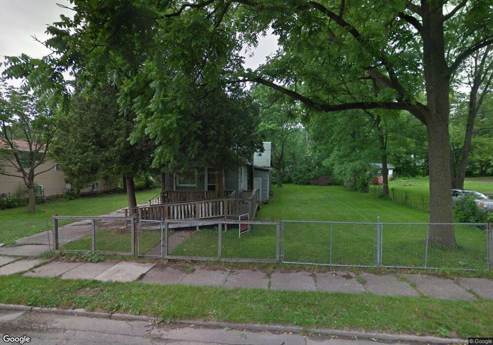
1236 Allen St Lansing, MI 48912
Potter Walsh NeighborhoodEstimated Value: $75,079 - $104,000
2
Beds
1
Bath
1,710
Sq Ft
$49/Sq Ft
Est. Value
About This Home
This home is located at 1236 Allen St, Lansing, MI 48912 and is currently estimated at $84,020, approximately $49 per square foot. 1236 Allen St is a home located in Ingham County with nearby schools including Pattengill Academy, Lyons Elementary School, and Eastern High School.
Ownership History
Date
Name
Owned For
Owner Type
Purchase Details
Closed on
Mar 4, 2020
Sold by
Ingham Cnty Land Bk Fast Track Authority
Bought by
Bradbyrt David Lee
Current Estimated Value
Purchase Details
Closed on
Dec 14, 2016
Sold by
Ingham County
Bought by
Byrum Barba
Purchase Details
Closed on
Dec 13, 2016
Sold by
Schertzing Eric
Bought by
County Of Ingham
Purchase Details
Closed on
Jan 29, 2015
Sold by
Wheeler Carol D
Bought by
Mccrumb B R
Purchase Details
Closed on
Jun 4, 2012
Sold by
Mccrumb Bobby R
Bought by
Wheeler Carol D
Create a Home Valuation Report for This Property
The Home Valuation Report is an in-depth analysis detailing your home's value as well as a comparison with similar homes in the area
Home Values in the Area
Average Home Value in this Area
Purchase History
| Date | Buyer | Sale Price | Title Company |
|---|---|---|---|
| Bradbyrt David Lee | $3,300 | Cinnaire Title Servicess Llc | |
| Byrum Barba | -- | None Available | |
| County Of Ingham | -- | None Available | |
| Mccrumb B R | -- | None Available | |
| Wheeler Carol D | -- | None Available |
Source: Public Records
Tax History Compared to Growth
Tax History
| Year | Tax Paid | Tax Assessment Tax Assessment Total Assessment is a certain percentage of the fair market value that is determined by local assessors to be the total taxable value of land and additions on the property. | Land | Improvement |
|---|---|---|---|---|
| 2025 | $417 | $6,600 | $6,600 | $0 |
| 2024 | $3 | $6,600 | $6,600 | $0 |
| 2023 | $391 | $6,600 | $6,600 | $0 |
| 2022 | $457 | $6,000 | $6,000 | $0 |
| 2021 | $492 | $6,400 | $6,400 | $0 |
| 2020 | $0 | $0 | $0 | $0 |
| 2019 | $0 | $0 | $0 | $0 |
| 2018 | $0 | $0 | $0 | $0 |
| 2017 | $630 | $0 | $0 | $0 |
| 2016 | $2,646 | $26,400 | $6,400 | $20,000 |
| 2015 | $2,646 | $26,000 | $12,852 | $13,148 |
| 2014 | $2,646 | $25,500 | $9,639 | $15,861 |
Source: Public Records
Map
Nearby Homes
- 1204 Shepard St
- 1128 Lathrop St
- 1019 Dakin St
- 1200 S Holmes St
- 910 S Holmes St
- 1212 Climax St
- 619 Shepard St
- 1620 Clifton Ave
- 1201 Climax St
- 607 Shepard St Unit 2
- 637 S Clemens Ave
- 701 S Fairview Ave
- 1221 Pershing Dr
- 727 S Magnolia Ave
- 523 Clifford St
- 0 E Mount Hope Ave
- 1423 Pontiac St
- 1529 S Pennsylvania Ave
- 528 S Fairview Ave
- 517 S Clemens Ave