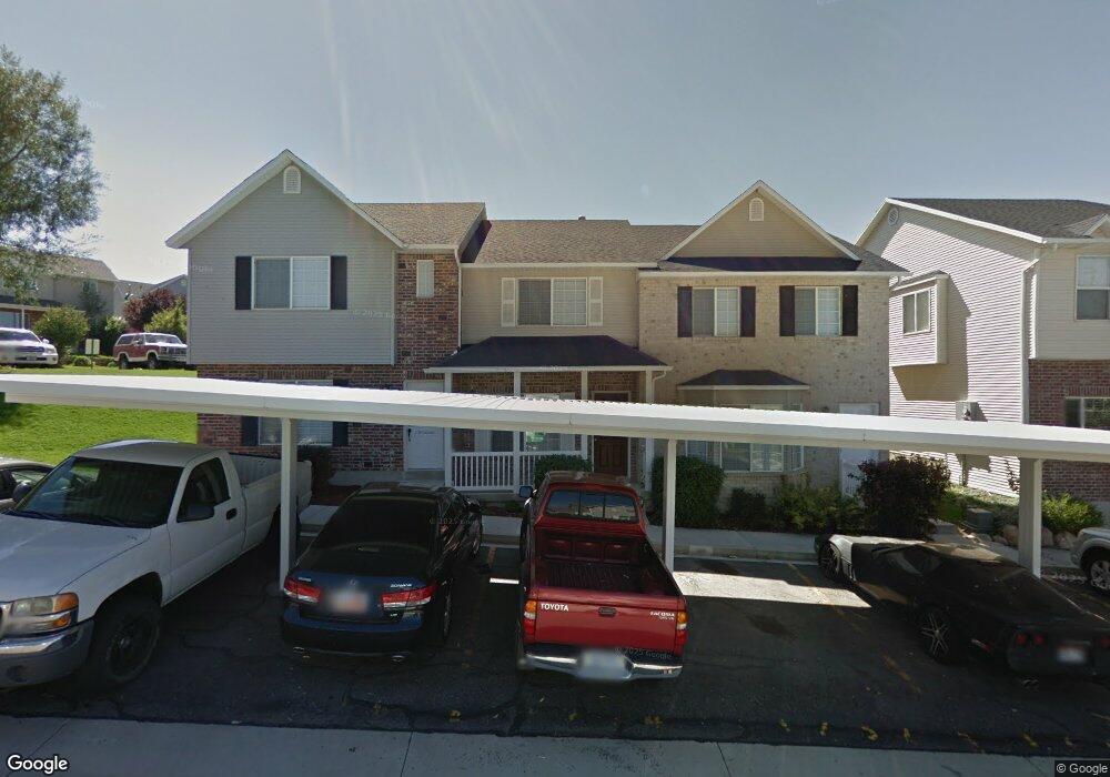
1236 E 680 N Spanish Fork, UT 84660
Estimated Value: $285,000 - $339,000
2
Beds
2
Baths
1,100
Sq Ft
$278/Sq Ft
Est. Value
About This Home
This home is located at 1236 E 680 N, Spanish Fork, UT 84660 and is currently estimated at $305,342, approximately $277 per square foot. 1236 E 680 N is a home located in Utah County with nearby schools including Rees Elementary School, Diamond Fork Junior High School, and Mapleton Junior High School.
Ownership History
Date
Name
Owned For
Owner Type
Purchase Details
Closed on
Oct 22, 2018
Sold by
Baizabal Rafael and Baizabal Alessandra
Bought by
Baizabal Rafael and Baizabal Alessandra
Current Estimated Value
Purchase Details
Closed on
Jul 28, 2006
Sold by
Graham Nathan L
Bought by
Renteria Edgar Fernando and Renteria Lucero
Home Financials for this Owner
Home Financials are based on the most recent Mortgage that was taken out on this home.
Original Mortgage
$93,520
Outstanding Balance
$55,566
Interest Rate
6.57%
Mortgage Type
New Conventional
Estimated Equity
$249,776
Create a Home Valuation Report for This Property
The Home Valuation Report is an in-depth analysis detailing your home's value as well as a comparison with similar homes in the area
Home Values in the Area
Average Home Value in this Area
Purchase History
| Date | Buyer | Sale Price | Title Company |
|---|---|---|---|
| Baizabal Rafael | -- | Old Republic Title | |
| Renteria Edgar Fernando | -- | First American Title Agency |
Source: Public Records
Mortgage History
| Date | Status | Borrower | Loan Amount |
|---|---|---|---|
| Open | Renteria Edgar Fernando | $93,520 |
Source: Public Records
Tax History Compared to Growth
Tax History
| Year | Tax Paid | Tax Assessment Tax Assessment Total Assessment is a certain percentage of the fair market value that is determined by local assessors to be the total taxable value of land and additions on the property. | Land | Improvement |
|---|---|---|---|---|
| 2025 | $1,485 | $154,825 | $41,400 | $240,100 |
| 2024 | $1,485 | $153,065 | $0 | $0 |
| 2023 | $1,369 | $141,240 | $0 | $0 |
| 2022 | $1,460 | $147,785 | $0 | $0 |
| 2021 | $1,248 | $202,000 | $30,300 | $171,700 |
| 2020 | $1,215 | $191,200 | $28,700 | $162,500 |
| 2019 | $1,057 | $175,000 | $23,000 | $152,000 |
| 2018 | $970 | $155,300 | $19,000 | $136,300 |
| 2017 | $863 | $74,250 | $0 | $0 |
| 2016 | $816 | $69,300 | $0 | $0 |
| 2015 | $767 | $64,350 | $0 | $0 |
| 2014 | $699 | $58,850 | $0 | $0 |
Source: Public Records
Map
Nearby Homes
- 1213 E 540 N
- 1228 E 680 N
- 453 N 1210 E
- 1261 E 680 N
- 1025 E 360 N Unit 5
- 1001 E 360 N Unit 7
- 1022 E 360 N Unit 27
- 991 E 360 N Unit 8
- 1004 E 360 N Unit 28
- 1083 E 400 N
- 2597 E 360 N Unit 16
- 1495 E 400 N
- 969 E 550 N
- 1050 E 800 N Unit 13
- 314 N 1070 E
- 1024 E 260 N Unit 18
- 1006 E 260 N Unit 17
- 998 E 260 N Unit 16
- 992 E 260 N Unit 15
- 822 N 1120 E