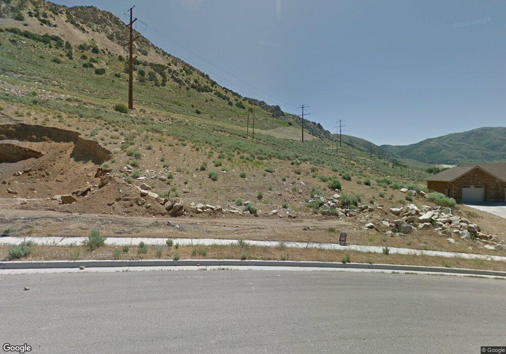
1236 Kotter Dr Unit 55 Brigham City, UT 84302
Estimated Value: $676,000 - $839,277
--
Bed
--
Bath
--
Sq Ft
1.33
Acres
About This Home
This home is located at 1236 Kotter Dr Unit 55, Brigham City, UT 84302 and is currently estimated at $779,819. 1236 Kotter Dr Unit 55 is a home located in Box Elder County with nearby schools including Golden Spike Elementary, Box Elder Middle School, and Adele C. Young Intermediate School.
Ownership History
Date
Name
Owned For
Owner Type
Purchase Details
Closed on
Jan 16, 2019
Sold by
Wilson Brad and Wilson Ashley
Bought by
Wilson Brad R and Wilson Ashley S
Current Estimated Value
Home Financials for this Owner
Home Financials are based on the most recent Mortgage that was taken out on this home.
Original Mortgage
$407,900
Outstanding Balance
$355,043
Interest Rate
4.12%
Mortgage Type
Adjustable Rate Mortgage/ARM
Estimated Equity
$424,776
Purchase Details
Closed on
May 11, 2017
Sold by
Kotter Subdivision Llc
Bought by
Wilson Brad and Wilson Ashley
Purchase Details
Closed on
Jul 17, 2012
Sold by
Kotter Canyon Estates Llc
Bought by
Kotter Subdivision Llc
Create a Home Valuation Report for This Property
The Home Valuation Report is an in-depth analysis detailing your home's value as well as a comparison with similar homes in the area
Home Values in the Area
Average Home Value in this Area
Purchase History
| Date | Buyer | Sale Price | Title Company |
|---|---|---|---|
| Wilson Brad R | -- | Hickman Land Title Co | |
| Wilson Brad | -- | Mountain View Title Ogden | |
| Kotter Subdivision Llc | $1,800,000 | Eagle Gate Title Ins Ag |
Source: Public Records
Mortgage History
| Date | Status | Borrower | Loan Amount |
|---|---|---|---|
| Open | Wilson Brad R | $407,900 |
Source: Public Records
Tax History Compared to Growth
Tax History
| Year | Tax Paid | Tax Assessment Tax Assessment Total Assessment is a certain percentage of the fair market value that is determined by local assessors to be the total taxable value of land and additions on the property. | Land | Improvement |
|---|---|---|---|---|
| 2025 | $4,788 | $816,608 | $128,250 | $688,358 |
| 2024 | $4,290 | $819,139 | $123,250 | $695,889 |
| 2023 | $5,217 | $1,021,570 | $113,250 | $908,320 |
| 2022 | $4,688 | $468,725 | $38,913 | $429,812 |
| 2021 | $3,936 | $610,561 | $70,750 | $539,811 |
| 2020 | $3,800 | $610,561 | $70,750 | $539,811 |
| 2019 | $3,189 | $16,500 | $8,250 | $8,250 |
| 2018 | $727 | $62,500 | $62,500 | $0 |
| 2017 | $629 | $51,500 | $51,500 | $0 |
| 2016 | $684 | $65,000 | $65,000 | $0 |
| 2015 | $897 | $81,250 | $81,250 | $0 |
| 2014 | $897 | $65,000 | $65,000 | $0 |
| 2013 | -- | $65,000 | $65,000 | $0 |
Source: Public Records
Map
Nearby Homes
- 1389 Kotter Dr Unit 47
- 2216 S 700 W
- 360 E 1300 N
- 1206 N 100 E
- 142 W 950 N Unit 5
- 154 W 950 N Unit 6
- 801 Medoland Dr
- Sitka Plan at North Point - Brigham City (Townhomes)
- Aria Plan at North Point - Brigham City (Townhomes)
- 81 W 925 N
- 93 W 925 N
- 324 W 950 N Unit 18
- 760 N Main St
- 221 W 925 N Unit H46
- 242 W 925 N Unit N76
- 243 W 925 N Unit I48
- 247 W 925 N Unit I49
- 266 W 925 N Unit O79
- 965 N 200 W Unit U330
- 969 N 200 W Unit U329
- 1258 Kotter Dr Unit 56
- 1258 Kotter Dr
- 1214 Kotter Dr
- 1214 Kotter Dr Unit 54
- 1243 Kotter Dr Unit 53
- 1280 N Kotter Dr Unit 57
- 1280 Kotter Dr Unit 57
- 1280 Kotter Dr
- 1275 Kotter Dr
- 1275 Kotter Dr Unit 52
- 1304 Kotter Dr Unit 60
- 1304 Kotter Dr Unit 58
- 1304 Kotter Dr
- 1297 Kotter Dr Unit 51
- 1209 N Highland Blvd
- 1209 N Highland Blvd Unit 33
- 1222 N Highland Blvd
- 1222 N Highland Blvd Unit 34
- 1319 Kotter Dr
- 1319 Kotter Dr Unit 50