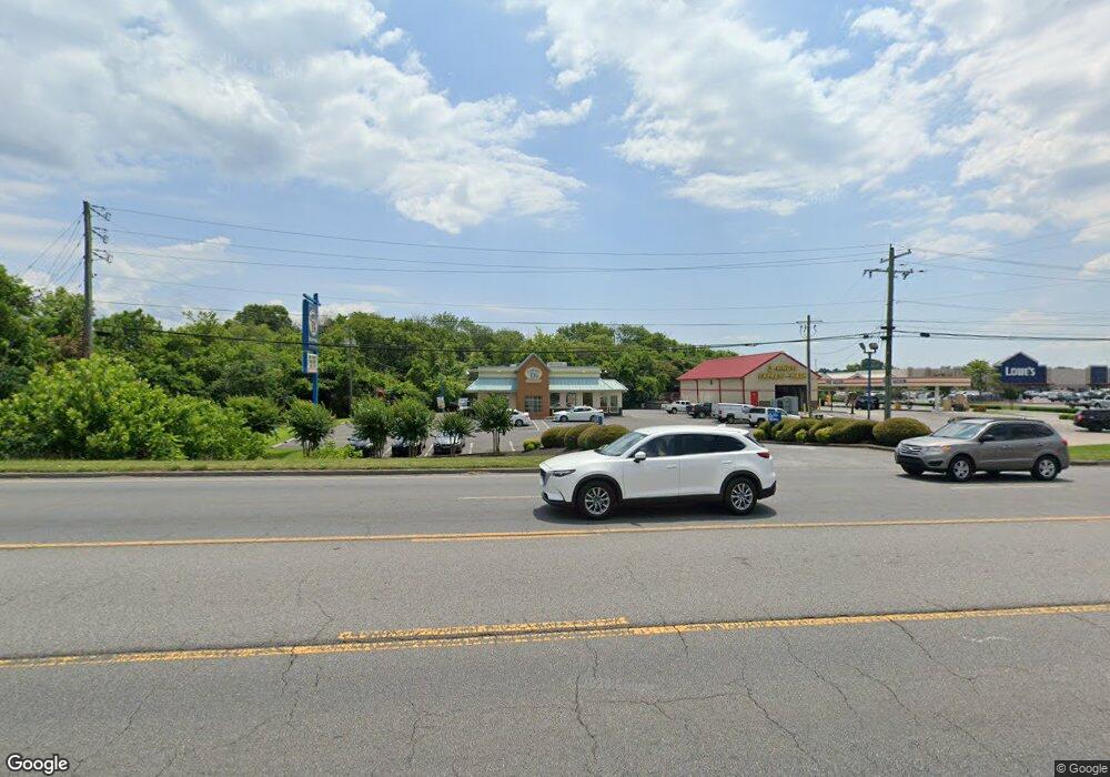
1236 N Glenwood Ave Dalton, GA 30721
Estimated Value: $109,000 - $167,000
--
Bed
1
Bath
1,028
Sq Ft
$123/Sq Ft
Est. Value
About This Home
This home is located at 1236 N Glenwood Ave, Dalton, GA 30721 and is currently estimated at $126,352, approximately $122 per square foot. 1236 N Glenwood Ave is a home located in Whitfield County with nearby schools including Park Creek Elementary School, Dalton Middle School, and Dalton High School.
Ownership History
Date
Name
Owned For
Owner Type
Purchase Details
Closed on
Oct 14, 2024
Sold by
Killion Joshua
Bought by
A & J Properties Llc
Current Estimated Value
Purchase Details
Closed on
Nov 23, 2021
Sold by
A & J Properties Llc
Bought by
Killion Joshua L
Purchase Details
Closed on
Dec 2, 2019
Sold by
Hogan Maurice L
Bought by
A & J Properties Llc
Purchase Details
Closed on
May 1, 1996
Bought by
Hogan Maurice L
Create a Home Valuation Report for This Property
The Home Valuation Report is an in-depth analysis detailing your home's value as well as a comparison with similar homes in the area
Home Values in the Area
Average Home Value in this Area
Purchase History
| Date | Buyer | Sale Price | Title Company |
|---|---|---|---|
| A & J Properties Llc | -- | None Listed On Document | |
| A & J Properties Llc | -- | None Listed On Document | |
| Killion Joshua L | -- | -- | |
| A & J Properties Llc | $53,000 | -- | |
| Hogan Maurice L | -- | -- |
Source: Public Records
Tax History Compared to Growth
Tax History
| Year | Tax Paid | Tax Assessment Tax Assessment Total Assessment is a certain percentage of the fair market value that is determined by local assessors to be the total taxable value of land and additions on the property. | Land | Improvement |
|---|---|---|---|---|
| 2024 | $297 | $15,184 | $8,000 | $7,184 |
| 2023 | $297 | $7,984 | $2,940 | $5,044 |
| 2022 | $350 | $10,168 | $2,940 | $7,228 |
| 2021 | $393 | $11,398 | $2,940 | $8,458 |
| 2020 | $408 | $11,398 | $2,940 | $8,458 |
| 2019 | $421 | $11,398 | $2,940 | $8,458 |
| 2018 | $427 | $11,398 | $2,940 | $8,458 |
| 2017 | $411 | $11,398 | $2,940 | $8,458 |
| 2016 | $386 | $10,633 | $2,940 | $7,693 |
| 2014 | $351 | $10,633 | $2,940 | $7,693 |
| 2013 | -- | $10,633 | $2,940 | $7,693 |
Source: Public Records
Map
Nearby Homes
- 0 Smith Industrial Blvd
- 00 Glenwood Ave
- 413 Gillum Dr
- 1119 Acme St
- 416 Sassafras St
- 1129 N Hamilton St
- 1600 Puryear Dr NW
- 717 Morningside Dr
- 940 Avenue E
- 928 Avenue C
- 1326 Veterans Dr
- 304 W Park St
- 1493 Hale Bowen Dr
- 916 Avenue E
- 1696 Red Oak Dr Unit 184
- 1696 Red Oak Dr
- 1696 Red Oak Dr Unit 181
- 1695 N Summit Dr
- 1614 Waring Rd NW
- 601 Stillwood Dr
- 1257 N Glenwood Ave
- 1234 N Glenwood Ave
- 1237 N Glenwood Ave
- 1209 N Glenwood Ave
- 1235 N Glenwood Ave
- 306 Smith Industrial Blvd
- 307 Smith Industrial Blvd
- Lot 5 Smith Industrial Blvd
- 1210 Royal Dr
- 309 Legion Dr
- 0 Legion Dr
- 230 Rosen Dr
- 1315 Cleveland Hwy
- 1315 Cleveland Hwy
- 1133 N Glenwood Ave
- 304 Springdale Rd
- 302 Springdale Rd
- 216 Rosen Dr
- 1220 Glenwood Dr
- 1129 N Glenwood Ave
