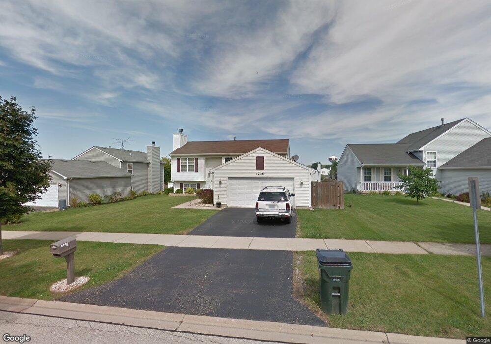
1236 Pheasant Run Zion, IL 60099
West Zion NeighborhoodEstimated Value: $298,000 - $314,000
4
Beds
2
Baths
1,028
Sq Ft
$299/Sq Ft
Est. Value
About This Home
This home is located at 1236 Pheasant Run, Zion, IL 60099 and is currently estimated at $307,317, approximately $298 per square foot. 1236 Pheasant Run is a home located in Lake County with nearby schools including Newport Elementary School, Beach Park Middle School, and Zion-Benton Township High School.
Ownership History
Date
Name
Owned For
Owner Type
Purchase Details
Closed on
Feb 20, 2002
Sold by
Bank Of Waukegan
Bought by
Phillips Constandino N and Phillips Jennifer D
Current Estimated Value
Home Financials for this Owner
Home Financials are based on the most recent Mortgage that was taken out on this home.
Original Mortgage
$131,100
Outstanding Balance
$53,480
Interest Rate
6.87%
Estimated Equity
$253,837
Create a Home Valuation Report for This Property
The Home Valuation Report is an in-depth analysis detailing your home's value as well as a comparison with similar homes in the area
Home Values in the Area
Average Home Value in this Area
Purchase History
| Date | Buyer | Sale Price | Title Company |
|---|---|---|---|
| Phillips Constandino N | $164,000 | -- |
Source: Public Records
Mortgage History
| Date | Status | Borrower | Loan Amount |
|---|---|---|---|
| Open | Phillips Constandino N | $131,100 |
Source: Public Records
Tax History Compared to Growth
Tax History
| Year | Tax Paid | Tax Assessment Tax Assessment Total Assessment is a certain percentage of the fair market value that is determined by local assessors to be the total taxable value of land and additions on the property. | Land | Improvement |
|---|---|---|---|---|
| 2024 | $8,396 | $82,680 | $9,895 | $72,785 |
| 2023 | $7,710 | $73,716 | $8,822 | $64,894 |
| 2022 | $7,710 | $65,094 | $7,262 | $57,832 |
| 2021 | $7,591 | $61,063 | $6,812 | $54,251 |
| 2020 | $7,313 | $57,433 | $6,407 | $51,026 |
| 2019 | $7,105 | $53,500 | $5,968 | $47,532 |
| 2018 | $6,227 | $46,869 | $5,420 | $41,449 |
| 2017 | $6,099 | $43,478 | $5,028 | $38,450 |
| 2016 | $5,632 | $39,468 | $4,564 | $34,904 |
| 2015 | $5,381 | $35,811 | $4,141 | $31,670 |
| 2014 | $5,066 | $34,733 | $4,108 | $30,625 |
| 2012 | $5,520 | $36,989 | $4,375 | $32,614 |
Source: Public Records
Map
Nearby Homes
- 1305 Reed Rd
- 1210 Lorelei Dr
- 4004 Gregory Dr
- 4014 Ridge Rd
- 4013 Ridge Rd
- 1524 Anderson Trail
- 4108 Douglas Dr
- 1712 Dusk Dr
- 3903 9th St
- 4539 Illinois 173
- 4533 Illinois 173
- 11778 W 12th St
- 1907 Dawn Ln
- 1521 Southport Ct
- 1405 Lewis Ave
- 12434 W Van Ct
- 42908 N Lewis Ave
- 4109 Sarah Dr
- 41616 N Delany Rd
- 2407 Phillip Dr
- 1238 Pheasant Run
- 1234 Pheasant Run
- 1232 Pheasant Run
- 1213 Cardinal Dr
- 4217 Quail St
- 1211 Cardinal Dr
- 4219 Quail St
- 4215 Quail St
- 1230 Pheasant Run
- 4213 Quail St
- 1237 Pheasant Run
- 1235 Pheasant Run
- 1209 Cardinal Dr
- 1239 Pheasant Run
- 1214 Butterfield Ln
- 1241 Pheasant Run
- 4211 Quail St
- 1228 Pheasant Run
- 1216 Butterfield Ln
- 1243 Pheasant Run