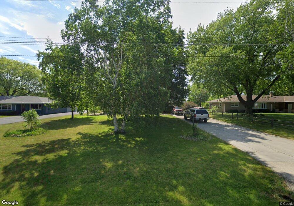
1236 Prairie Dr Mount Pleasant, WI 53406
Estimated Value: $236,000 - $343,000
3
Beds
1
Bath
1,484
Sq Ft
$210/Sq Ft
Est. Value
About This Home
This home is located at 1236 Prairie Dr, Mount Pleasant, WI 53406 and is currently estimated at $311,105, approximately $209 per square foot. 1236 Prairie Dr is a home located in Racine County with nearby schools including West Ridge Elementary School, Mitchell Middle School, and Case High School.
Ownership History
Date
Name
Owned For
Owner Type
Purchase Details
Closed on
Oct 14, 2005
Sold by
Friesema Robert D
Bought by
Friesema Richard A and Friesema Susan J
Current Estimated Value
Purchase Details
Closed on
May 2, 2005
Sold by
Friesema Robert R
Bought by
Friesema Robert D
Purchase Details
Closed on
Mar 2, 2005
Sold by
Friesema Robert R
Bought by
Village Of Mt Pleasant
Create a Home Valuation Report for This Property
The Home Valuation Report is an in-depth analysis detailing your home's value as well as a comparison with similar homes in the area
Home Values in the Area
Average Home Value in this Area
Purchase History
| Date | Buyer | Sale Price | Title Company |
|---|---|---|---|
| Friesema Richard A | $192,000 | -- | |
| Friesema Robert D | $104,400 | -- | |
| Village Of Mt Pleasant | $12,800 | None Available |
Source: Public Records
Tax History
| Year | Tax Paid | Tax Assessment Tax Assessment Total Assessment is a certain percentage of the fair market value that is determined by local assessors to be the total taxable value of land and additions on the property. | Land | Improvement |
|---|---|---|---|---|
| 2025 | $4,864 | $314,300 | $89,700 | $224,600 |
| 2024 | $4,498 | $291,100 | $89,700 | $201,400 |
| 2023 | $3,878 | $246,900 | $83,900 | $163,000 |
| 2022 | $3,764 | $236,200 | $83,900 | $152,300 |
| 2021 | $3,840 | $215,400 | $76,200 | $139,200 |
| 2020 | $2,224 | $183,500 | $45,000 | $138,500 |
| 2019 | $3,133 | $179,000 | $52,700 | $126,300 |
| 2018 | $3,168 | $167,500 | $52,200 | $115,300 |
| 2017 | $3,132 | $161,700 | $52,200 | $109,500 |
| 2016 | $3,014 | $147,300 | $41,300 | $106,000 |
| 2015 | $2,977 | $147,300 | $41,300 | $106,000 |
| 2014 | $2,812 | $147,300 | $41,300 | $106,000 |
| 2013 | $2,999 | $147,300 | $41,300 | $106,000 |
Source: Public Records
Map
Nearby Homes
- 1429 Oakes Rd Unit 7
- Lt0 Mariner Dr
- 1131 S Sunnyslope Dr Unit 4U
- 6805 Ranger Dr
- Lt0 Oakes Rd
- 910 Century Way
- 6335 Washington Ave
- 6520 Mariner Dr Unit 204
- 7220 Mariner Dr Unit 8
- 6351 Kinzie Ave
- 838 Boulder Trail Unit 205
- 6331 Kingsview Dr
- 914 S Stuart Rd
- 1451 Pheasant Run Dr Unit 101
- Lt0 Stuart Rd
- 6244 Partridge Hills Dr
- 522 Calvin Ln
- 119 S Stuart Rd
- 5302 Athens Ave
- 5509 Hilldale Dr
- 1246 Prairie Dr
- 1226 Prairie Dr
- 1306 Prairie Dr
- 1235 Prairie Dr
- 7009 Washington Ave
- 1245 Prairie Dr
- 1314 Prairie Dr
- 1225 Prairie Dr
- 1305 Prairie Dr
- 1311 Prairie Dr
- 7111 Washington
- 1324 Prairie Dr
- 1319 Prairie Dr
- 1332 Prairie Dr
- 1327 Prairie Dr
- 1340 Prairie Dr
- 1335 Prairie Dr
- 1348 Prairie Dr
- 1343 Prairie Dr
- 1404 Prairie Dr
Your Personal Tour Guide
Ask me questions while you tour the home.