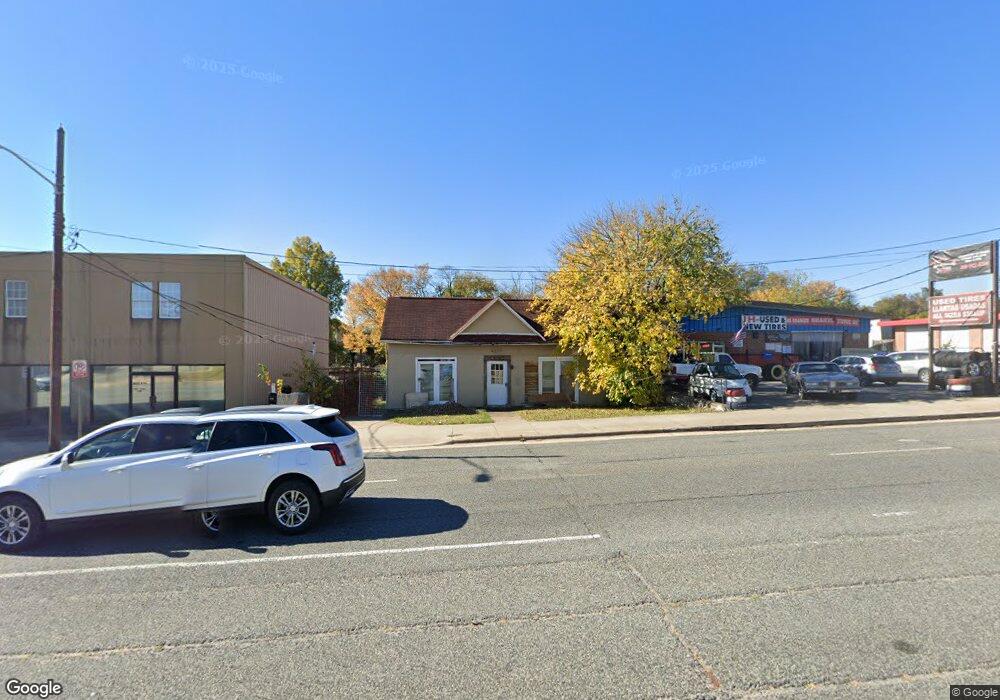
1236 S Main St High Point, NC 27260
Greater High Point NeighborhoodEstimated Value: $147,000 - $191,000
--
Bed
--
Bath
1,107
Sq Ft
$149/Sq Ft
Est. Value
About This Home
This home is located at 1236 S Main St, High Point, NC 27260 and is currently estimated at $165,352, approximately $149 per square foot. 1236 S Main St is a home located in Guilford County with nearby schools including Oak Hill Elementary School, Ferndale Middle School, and High Point Central High School.
Ownership History
Date
Name
Owned For
Owner Type
Purchase Details
Closed on
Jan 12, 2026
Sold by
Martinez Pulido Arturo and Rodriguez Perez Matilde
Bought by
Pulido Arturo Martinez and Rodriguez Martha Veronica
Current Estimated Value
Purchase Details
Closed on
Nov 13, 2024
Sold by
Le Pho Due and Pham Hang
Bought by
Pulido Arturo Martinez
Home Financials for this Owner
Home Financials are based on the most recent Mortgage that was taken out on this home.
Original Mortgage
$75,000
Interest Rate
6.12%
Mortgage Type
Seller Take Back
Purchase Details
Closed on
Jan 28, 2009
Sold by
Malpass Brad Alton and Malpass Sandra Williams
Bought by
Le Pho and Pham Hang
Create a Home Valuation Report for This Property
The Home Valuation Report is an in-depth analysis detailing your home's value as well as a comparison with similar homes in the area
Home Values in the Area
Average Home Value in this Area
Purchase History
| Date | Buyer | Sale Price | Title Company |
|---|---|---|---|
| Pulido Arturo Martinez | -- | None Listed On Document | |
| Pulido Arturo Martinez | $175,000 | None Listed On Document | |
| Pulido Arturo Martinez | $175,000 | None Listed On Document | |
| Le Pho | $71,000 | None Available |
Source: Public Records
Mortgage History
| Date | Status | Borrower | Loan Amount |
|---|---|---|---|
| Previous Owner | Pulido Arturo Martinez | $75,000 |
Source: Public Records
Tax History
| Year | Tax Paid | Tax Assessment Tax Assessment Total Assessment is a certain percentage of the fair market value that is determined by local assessors to be the total taxable value of land and additions on the property. | Land | Improvement |
|---|---|---|---|---|
| 2025 | $872 | $63,300 | $53,100 | $10,200 |
| 2024 | $872 | $63,300 | $53,100 | $10,200 |
| 2023 | $872 | $63,300 | $53,100 | $10,200 |
| 2022 | $853 | $63,300 | $53,100 | $10,200 |
| 2021 | $871 | $63,200 | $53,100 | $10,100 |
| 2020 | $871 | $63,200 | $53,100 | $10,100 |
| 2019 | $871 | $63,200 | $0 | $0 |
| 2018 | $0 | $63,200 | $0 | $0 |
| 2017 | $867 | $63,200 | $0 | $0 |
| 2016 | $957 | $68,200 | $0 | $0 |
| 2015 | $962 | $68,200 | $0 | $0 |
| 2014 | $978 | $68,200 | $0 | $0 |
Source: Public Records
Map
Nearby Homes
- 1217 Cloverdale St
- 308 W Kearns Ave
- 1410 Cloverdale St
- 1504 Cloverdale St
- 323 Coltrane Ave
- 1213 S Elm St
- 405 W Willis Ave
- 407 W Willis Ave
- 537 Flint Ave
- 616 S Elm St
- 4304 Griffins Gate Ln
- 1015 Sharon St
- 925 Randolph St
- 909 Randolph St
- 702 Park St
- 1021 Asheboro St
- 1114 Richland St
- 1010 Grace St
- 705 Wise Ave
- 423 Tate St
- 208 W Kearns Ave
- 209 W Kearns Ave
- 1312 S Main St
- 1307 Cloverdale St
- 211 W Kearns Ave
- 1207 Cloverdale St
- 1213 Cloverdale St
- 213 W Kearns Ave
- 292 Coltrane Ave
- 294 Coltrane Ave
- 1203 Cloverdale St
- 1311 Cloverdale St
- 1201 Cloverdale St
- 1114 E Ward Ave
- 215 W Kearns Ave
- 296 Coltrane Ave
- 298 Coltrane Ave
- 217 W Kearns Ave
- 300 Coltrane Ave
- 1214 Cloverdale St
Your Personal Tour Guide
Ask me questions while you tour the home.