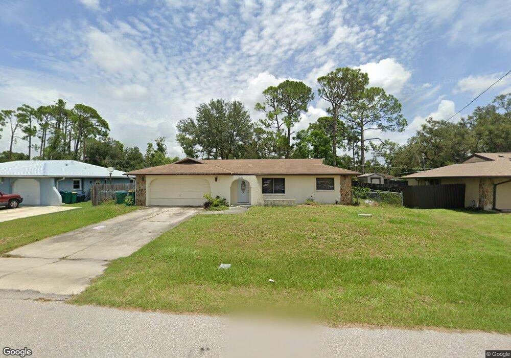
1236 Sandy St Port Charlotte, FL 33952
Estimated Value: $231,867 - $301,000
3
Beds
3
Baths
1,526
Sq Ft
$175/Sq Ft
Est. Value
About This Home
This home is located at 1236 Sandy St, Port Charlotte, FL 33952 and is currently estimated at $267,717, approximately $175 per square foot. 1236 Sandy St is a home located in Charlotte County with nearby schools including Liberty Elementary School, Murdock Middle School, and Port Charlotte High School.
Ownership History
Date
Name
Owned For
Owner Type
Purchase Details
Closed on
Mar 27, 2025
Sold by
Greystone Equity Partners Llc
Bought by
Compere Louis
Current Estimated Value
Purchase Details
Closed on
Dec 27, 2022
Sold by
Compere Acquisitions Group Llc
Bought by
Greystone Equity Partners Llc
Purchase Details
Closed on
Mar 14, 2019
Sold by
Compere Louis
Bought by
Compere Acquisitions Group Llc
Purchase Details
Closed on
Jan 7, 2002
Sold by
Galetka Sophie
Bought by
Compere Louis B
Purchase Details
Closed on
Jul 12, 1999
Sold by
Rosenberg Leah
Bought by
Galetka Sophie
Create a Home Valuation Report for This Property
The Home Valuation Report is an in-depth analysis detailing your home's value as well as a comparison with similar homes in the area
Home Values in the Area
Average Home Value in this Area
Purchase History
| Date | Buyer | Sale Price | Title Company |
|---|---|---|---|
| Compere Louis | $100 | None Listed On Document | |
| Greystone Equity Partners Llc | $100 | None Listed On Document | |
| Compere Acquisitions Group Llc | -- | Attorney | |
| Compere Louis B | $67,000 | -- | |
| Galetka Sophie | $65,000 | -- |
Source: Public Records
Tax History Compared to Growth
Tax History
| Year | Tax Paid | Tax Assessment Tax Assessment Total Assessment is a certain percentage of the fair market value that is determined by local assessors to be the total taxable value of land and additions on the property. | Land | Improvement |
|---|---|---|---|---|
| 2024 | $4,877 | $263,791 | $17,000 | $246,791 |
| 2023 | $4,877 | $262,776 | $15,300 | $247,476 |
| 2022 | $3,681 | $203,254 | $12,750 | $190,504 |
| 2021 | $3,353 | $161,905 | $5,355 | $156,550 |
| 2020 | $3,272 | $157,841 | $4,505 | $153,336 |
| 2019 | $2,786 | $153,400 | $4,675 | $148,725 |
| 2018 | $2,467 | $145,920 | $4,250 | $141,670 |
| 2017 | $2,224 | $118,311 | $4,216 | $114,095 |
| 2016 | $2,074 | $85,889 | $0 | $0 |
| 2015 | $1,921 | $78,081 | $0 | $0 |
| 2014 | $1,747 | $70,983 | $0 | $0 |
Source: Public Records
Map
Nearby Homes
- 20159 Holland Ave
- 20136 Susan Ave
- 20118 Quesada Ave
- 20260 Tralee Dr
- 20307 Zelda Ave
- 20185 & 20193 Mount Prospect Ave
- 20178 Mount Prospect Ave
- 20170 Tralee Dr
- 1302 Arrow St
- 1317 Arrow St
- 1357 Nimrod St
- 20347 Mount Prospect Ave
- 19595 Kapok Ct
- 1366 Preston St
- 19583 Kapok Ct
- 20246 Rutherford Ave
- 20191 Rutherford Ave
- 1160 Peppertree Ln
- 20297 Kinderkemac Ave
- 1515 Forrest Nelson Blvd Unit A202
- 1244 Sandy St
- 1228 Sandy St
- 1229 Veronica St
- 1245 Veronica St
- 1220 Street
- 1220 Sandy St
- 1243 Sandy St
- 1227 Sandy St
- 1253 Veronica St
- 1212 Sandy St
- 20167 Holland Ave
- 20159 Ventura Ave
- 20167 Ventura Ave
- 1261 Sandy St
- 1204 Sandy St
- 20150 Ventura Ave
- 20158 Quesada Ave
- 20151 Ventura Ave
- 20151 Holland Ave