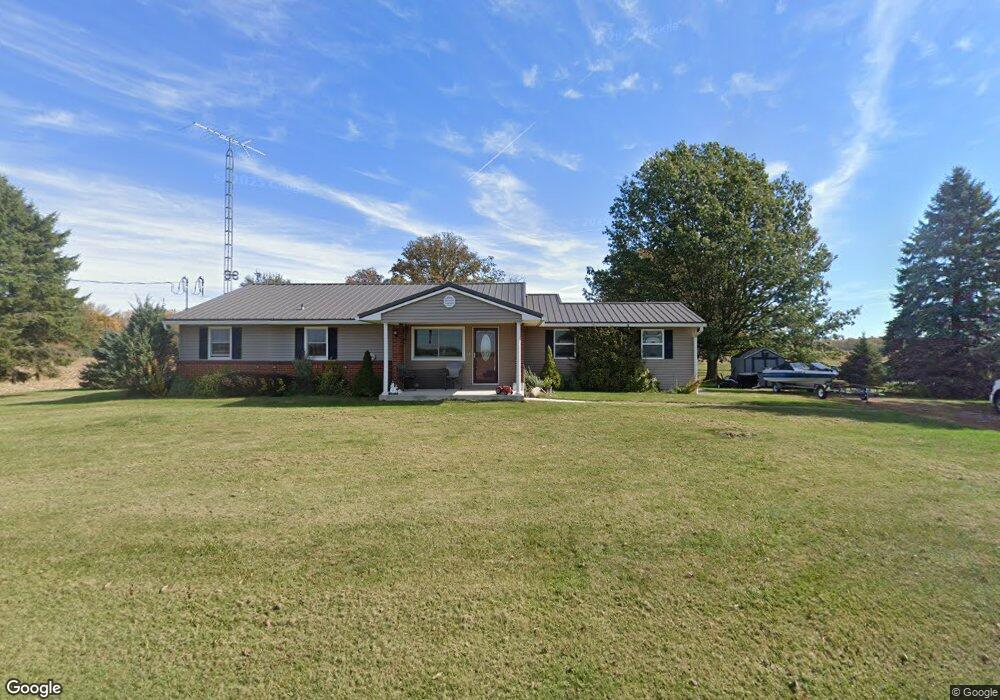
12360 Plattner Pike Saint Marys, OH 45885
Estimated Value: $232,000 - $308,000
3
Beds
1
Bath
1,296
Sq Ft
$207/Sq Ft
Est. Value
About This Home
This home is located at 12360 Plattner Pike, Saint Marys, OH 45885 and is currently estimated at $268,307, approximately $207 per square foot. 12360 Plattner Pike is a home located in Auglaize County with nearby schools including St. Mary's East Primary School, St. Mary's West Intermediate School, and St. Marys Middle School.
Ownership History
Date
Name
Owned For
Owner Type
Purchase Details
Closed on
Aug 10, 2016
Sold by
Rupert Craig J and Rupert Monica M
Bought by
Quellhorst Anthony D
Current Estimated Value
Home Financials for this Owner
Home Financials are based on the most recent Mortgage that was taken out on this home.
Original Mortgage
$165,000
Outstanding Balance
$131,651
Interest Rate
3.48%
Mortgage Type
New Conventional
Estimated Equity
$136,656
Purchase Details
Closed on
May 20, 2004
Sold by
Griffith Stealie A
Bought by
Rupert Craig J
Purchase Details
Closed on
Aug 22, 2002
Sold by
Griffith Stealie A
Bought by
Griffith Stealie A
Purchase Details
Closed on
Jan 25, 1999
Sold by
Stroh Carl David
Bought by
Griffith Stealie A
Purchase Details
Closed on
Jan 1, 1987
Create a Home Valuation Report for This Property
The Home Valuation Report is an in-depth analysis detailing your home's value as well as a comparison with similar homes in the area
Home Values in the Area
Average Home Value in this Area
Purchase History
| Date | Buyer | Sale Price | Title Company |
|---|---|---|---|
| Quellhorst Anthony D | $108,333 | Attorney | |
| Rupert Craig J | $126,000 | -- | |
| Griffith Stealie A | -- | -- | |
| Griffith Stealie A | $85,000 | -- | |
| -- | $91,000 | -- |
Source: Public Records
Mortgage History
| Date | Status | Borrower | Loan Amount |
|---|---|---|---|
| Open | Quellhorst Anthony D | $165,000 |
Source: Public Records
Tax History Compared to Growth
Tax History
| Year | Tax Paid | Tax Assessment Tax Assessment Total Assessment is a certain percentage of the fair market value that is determined by local assessors to be the total taxable value of land and additions on the property. | Land | Improvement |
|---|---|---|---|---|
| 2024 | $5,125 | $67,050 | $8,900 | $58,150 |
| 2023 | $2,584 | $67,050 | $8,900 | $58,150 |
| 2022 | $2,392 | $55,170 | $7,420 | $47,750 |
| 2021 | $2,372 | $55,170 | $7,420 | $47,750 |
| 2020 | $2,376 | $55,171 | $7,417 | $47,754 |
| 2019 | $2,060 | $46,043 | $6,181 | $39,862 |
| 2018 | $2,060 | $46,043 | $6,181 | $39,862 |
| 2017 | $2,063 | $46,043 | $6,181 | $39,862 |
| 2016 | $1,819 | $40,695 | $5,887 | $34,808 |
| 2015 | $1,780 | $40,695 | $5,887 | $34,808 |
| 2014 | $1,793 | $40,695 | $5,887 | $34,808 |
| 2013 | $1,866 | $40,695 | $5,887 | $34,808 |
Source: Public Records
Map
Nearby Homes
- 0 S Beech St
- 116 Meadowbrook Ln
- 408 S Vine St
- 403 S Vine St
- 602 Weston St
- 200 N Knoxville Ave Unit 7
- 1015 Columbia St
- 216 Beech St
- 105 Maple St
- 125 Beech St
- 811 Columbia St
- 437 Woodward St
- 405 E Spring St
- 911 Cleveland Ave
- 712 Columbia St
- 520 Oil St
- 134 N Front St
- 428 W Spring St
- 508 Webb St
- 220 N Augustus St
- 12340 Plattner Pike
- 12488 Plattner Pike
- 12500 Plattner Pike
- 12374 Plattner Pike
- 12599 Plattner Pike
- 12600 Plattner Pike
- 12108 Plattner Pike
- 12070 Plattner Pike
- 12871 State Route
- 12871 Ohio 29
- 12871 State Route 29
- 12853 State Route 29
- 12825 Ohio 29
- 12825 State Route 29
- 12938 Ohio 29
- 12968 State Route 29
- 12805 Ohio 29
- 12938 State Route 29
- 12805 State Route 29
- 12797 State Route 29