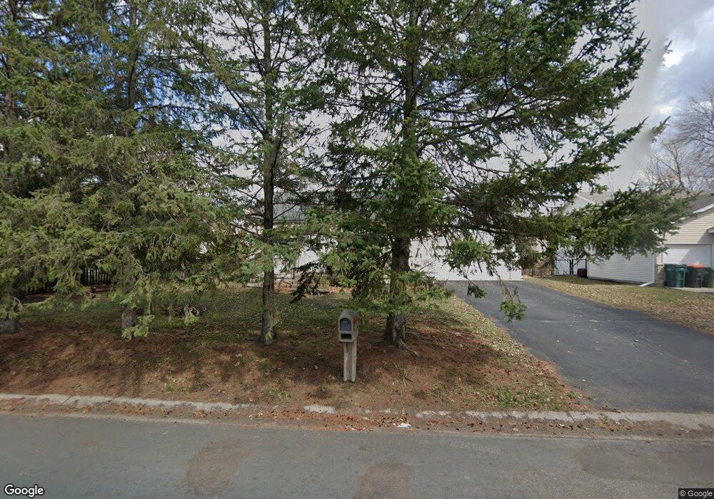
12363 Thrush St NW Coon Rapids, MN 55448
3
Beds
2
Baths
1,548
Sq Ft
12,023
Sq Ft Lot
About This Home
This home is located at 12363 Thrush St NW, Coon Rapids, MN 55448. 12363 Thrush St NW is a home located in Anoka County with nearby schools including Hoover Elementary School, Coon Rapids Middle School, and Coon Rapids Senior High School.
Ownership History
Date
Name
Owned For
Owner Type
Purchase Details
Closed on
Oct 1, 2007
Sold by
Shp Lp
Bought by
Atkins Sarah Marie and Bushnell Erik
Purchase Details
Closed on
Jul 27, 1998
Sold by
Boese Duane L and Boese Joyce L
Bought by
Tsm Development Inc
Purchase Details
Closed on
Nov 29, 1995
Sold by
Mittendorff William I and Mittendorff Ruth Ann L
Bought by
Boese Duane L and Boese Joyce L
Create a Home Valuation Report for This Property
The Home Valuation Report is an in-depth analysis detailing your home's value as well as a comparison with similar homes in the area
Home Values in the Area
Average Home Value in this Area
Purchase History
| Date | Buyer | Sale Price | Title Company |
|---|---|---|---|
| Atkins Sarah Marie | $174,900 | -- | |
| Tsm Development Inc | $175,000 | -- | |
| Boese Duane L | $29,791 | -- |
Source: Public Records
Mortgage History
| Date | Status | Borrower | Loan Amount |
|---|---|---|---|
| Closed | Boese Duane L | -- |
Source: Public Records
Tax History
| Year | Tax Paid | Tax Assessment Tax Assessment Total Assessment is a certain percentage of the fair market value that is determined by local assessors to be the total taxable value of land and additions on the property. | Land | Improvement |
|---|---|---|---|---|
| 2026 | $3,426 | $351,400 | $108,900 | $242,500 |
| 2025 | $3,426 | $323,300 | $94,600 | $228,700 |
| 2024 | $3,426 | $329,100 | $104,500 | $224,600 |
| 2023 | $3,021 | $315,800 | $90,200 | $225,600 |
| 2022 | $2,527 | $311,100 | $77,000 | $234,100 |
| 2021 | $2,527 | $236,300 | $64,900 | $171,400 |
| 2020 | $2,550 | $231,000 | $69,300 | $161,700 |
| 2019 | $2,386 | $224,000 | $73,700 | $150,300 |
| 2018 | $2,150 | $205,400 | $0 | $0 |
| 2017 | $1,990 | $182,200 | $0 | $0 |
| 2016 | $1,956 | $162,500 | $0 | $0 |
| 2015 | -- | $162,500 | $53,600 | $108,900 |
| 2014 | -- | $145,900 | $52,800 | $93,100 |
Source: Public Records
Map
Nearby Homes
- 12219 Quinn St NW
- 12203 Quinn St NW
- 2060 125th Ln NW
- 2307 121st Cir NW
- 12256 Killdeer St NW Unit 1403
- 2699 128th Ave NW
- 12240 Killdeer St NW Unit 1203
- 2741 121st Ave NW
- 12121 Killdeer St NW Unit 110
- 1727 121st Ln NW
- 13041 Raven St NW
- 13034 Verdin St NW
- 2953 126th Ln NW
- 12191 Grouse St NW Unit 408
- 12375 Jonquil St NW
- 1694 119th Ave NW
- 12463 Drake St NW
- 12459 Drake St NW
- 12393 Drake St NW
- 12568 Drake St NW
- 12357 Thrush St NW
- 12413 Thrush St NW
- 12422 Swallow Cir NW
- 12425 Thrush St NW
- 12362 Thrush St NW
- 12351 Thrush St NW
- 12408 Swallow Cir NW
- 12358 Thrush St NW
- 12400 Thrush St NW
- 12364 Swallow St NW
- 12354 Thrush St NW
- 12436 Swallow Cir NW
- 12378 Swallow St NW
- 12411 Swallow Cir NW
- 12350 Swallow St NW
- 12375 Swallow St NW
- 2301 123rd Cir NW
- 12451 Thrush St NW
- 12409 Uplander St NW
- 12421 Uplander St NW
Your Personal Tour Guide
Ask me questions while you tour the home.