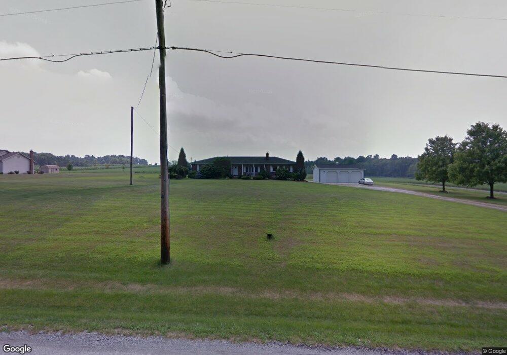
12365 Arnold Rd Orrville, OH 44667
Estimated Value: $318,368 - $360,000
3
Beds
3
Baths
1,350
Sq Ft
$252/Sq Ft
Est. Value
About This Home
This home is located at 12365 Arnold Rd, Orrville, OH 44667 and is currently estimated at $340,842, approximately $252 per square foot. 12365 Arnold Rd is a home located in Wayne County with nearby schools including Dalton Elementary School, Dalton Middle School, and Dalton High School.
Ownership History
Date
Name
Owned For
Owner Type
Purchase Details
Closed on
Jun 15, 2004
Sold by
Male Deborah K and Mizer Deborah K
Bought by
Male Michael and Male Deborah K
Current Estimated Value
Home Financials for this Owner
Home Financials are based on the most recent Mortgage that was taken out on this home.
Original Mortgage
$173,000
Outstanding Balance
$86,941
Interest Rate
6.42%
Mortgage Type
New Conventional
Estimated Equity
$253,901
Purchase Details
Closed on
Apr 28, 1987
Bought by
Mizer Deborah K
Create a Home Valuation Report for This Property
The Home Valuation Report is an in-depth analysis detailing your home's value as well as a comparison with similar homes in the area
Home Values in the Area
Average Home Value in this Area
Purchase History
| Date | Buyer | Sale Price | Title Company |
|---|---|---|---|
| Male Michael | -- | -- | |
| Mizer Deborah K | $11,500 | -- |
Source: Public Records
Mortgage History
| Date | Status | Borrower | Loan Amount |
|---|---|---|---|
| Open | Male Michael | $173,000 |
Source: Public Records
Tax History Compared to Growth
Tax History
| Year | Tax Paid | Tax Assessment Tax Assessment Total Assessment is a certain percentage of the fair market value that is determined by local assessors to be the total taxable value of land and additions on the property. | Land | Improvement |
|---|---|---|---|---|
| 2024 | $3,632 | $96,080 | $23,680 | $72,400 |
| 2023 | $3,632 | $96,080 | $23,680 | $72,400 |
| 2022 | $2,720 | $68,640 | $16,920 | $51,720 |
| 2021 | $2,749 | $68,640 | $16,920 | $51,720 |
| 2020 | $2,790 | $68,640 | $16,920 | $51,720 |
| 2019 | $2,525 | $61,550 | $14,900 | $46,650 |
| 2018 | $2,538 | $61,550 | $14,900 | $46,650 |
| 2017 | $2,505 | $61,550 | $14,900 | $46,650 |
| 2016 | $2,245 | $55,960 | $13,550 | $42,410 |
| 2015 | $2,201 | $55,960 | $13,550 | $42,410 |
| 2014 | $2,213 | $55,960 | $13,550 | $42,410 |
| 2013 | $2,223 | $54,920 | $12,920 | $42,000 |
Source: Public Records
Map
Nearby Homes
- 12428 Arnold Rd
- 740 Kidron Rd
- 110 S Kansas Rd
- 589 Wadsworth Rd
- 13877 Highview Dr
- 13946 Highview Dr
- 14003 Highview Dr
- 14533 Arnold Rd
- 13081 Hackett Rd
- 1342 Wadsworth Rd
- 10647 McQuaid Rd
- 244 Woodbury Cir
- 284 Woodbury Cir
- 133 Heritage Green Ln
- 209 Greenbriar Ln
- 13969 Emerson Rd
- 223 Tanglewood Dr
- 119 Briarwood Dr
- 712 Homestead Pointe Dr
- 738 S Mill St
- 12425 Arnold Rd
- 12491 Arnold Rd
- 12247 Arnold Rd
- 1449 S Kohler Rd
- 12187 Arnold Rd
- 1511 S Kohler Rd
- 12145 Arnold Rd
- 1567 S Kohler Rd
- 12135 Arnold Rd
- 1627 S Kohler Rd
- 1448 S Kohler Rd
- 1508 S Kohler Rd
- 1747 S Kohler Rd
- 1600 S Kohler Rd
- 12683 Arnold Rd
- 1191 S Kohler Rd
- 12692 Arnold Rd
- 1626 S Kohler Rd
- 1660 S Kohler Rd
- 12737 Arnold Rd