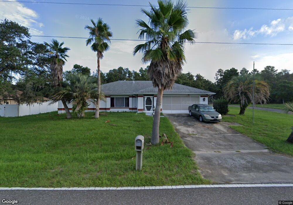
12365 Drysdale St Spring Hill, FL 34609
Estimated Value: $255,000 - $313,010
2
Beds
2
Baths
1,778
Sq Ft
$165/Sq Ft
Est. Value
About This Home
This home is located at 12365 Drysdale St, Spring Hill, FL 34609 and is currently estimated at $292,753, approximately $164 per square foot. 12365 Drysdale St is a home located in Hernando County with nearby schools including John D. Floyd Elementary School, Powell Middle School, and Central High School.
Ownership History
Date
Name
Owned For
Owner Type
Purchase Details
Closed on
Jul 31, 2017
Sold by
Cassella Ralph Edward and Geremia Barbara
Bought by
Lambert Roy
Current Estimated Value
Purchase Details
Closed on
Jul 1, 2017
Bought by
Lambert Roy
Purchase Details
Closed on
Jun 8, 2010
Sold by
Parkes Colleen and Cassella Colleen
Bought by
Cassella Ralph E
Purchase Details
Closed on
Apr 1, 1997
Sold by
Cassella Ralph E and Cassella Margaret C
Bought by
Cassella Ralph E
Home Financials for this Owner
Home Financials are based on the most recent Mortgage that was taken out on this home.
Original Mortgage
$55,968
Interest Rate
7.86%
Create a Home Valuation Report for This Property
The Home Valuation Report is an in-depth analysis detailing your home's value as well as a comparison with similar homes in the area
Home Values in the Area
Average Home Value in this Area
Purchase History
| Date | Buyer | Sale Price | Title Company |
|---|---|---|---|
| Lambert Roy | -- | None Available | |
| Lambert Roy | $100 | -- | |
| Cassella Ralph E | -- | Attorney | |
| Cassella Ralph E | -- | -- |
Source: Public Records
Mortgage History
| Date | Status | Borrower | Loan Amount |
|---|---|---|---|
| Previous Owner | Cassella Ralph E | $55,968 |
Source: Public Records
Tax History Compared to Growth
Tax History
| Year | Tax Paid | Tax Assessment Tax Assessment Total Assessment is a certain percentage of the fair market value that is determined by local assessors to be the total taxable value of land and additions on the property. | Land | Improvement |
|---|---|---|---|---|
| 2024 | $3,844 | $206,864 | -- | -- |
| 2023 | $3,844 | $188,058 | $0 | $0 |
| 2022 | $3,604 | $170,962 | $0 | $0 |
| 2021 | $2,595 | $161,902 | $21,097 | $140,805 |
| 2020 | $2,766 | $148,104 | $15,653 | $132,451 |
| 2019 | $2,587 | $128,446 | $14,019 | $114,427 |
| 2018 | $1,824 | $118,665 | $13,203 | $105,462 |
| 2017 | $1,430 | $97,860 | $0 | $0 |
| 2016 | $1,314 | $91,715 | $0 | $0 |
| 2015 | $1,291 | $89,425 | $0 | $0 |
| 2014 | $1,253 | $87,834 | $0 | $0 |
Source: Public Records
Map
Nearby Homes
- 13271 Linden Dr
- 13220 Linden Dr
- 12454 Montego St
- 12332 Ascot Ln
- 13150 Linden Dr
- 13021 Drysdale St
- 12291 Ascot Ln
- 12437 Drayton Dr
- 13396 Linden Dr
- 3060 Ardenwood Dr
- 3840 Lema Dr
- 12354 Huron St
- 12196 Bluefield St
- 12224 Foothill St
- 14582 Coronado Dr
- 13063 Montego St
- 13476 Linden Dr
- 3095 Coronet Ct
- 2380 Colusa Ln
- 12493 Fish Cove Dr
- 12355 Drysdale St
- 12381 Drysdale St
- 12347 Drysdale St
- Drysdale
- 3112 Polk Ave
- 12341 Drysdale St
- 12340 Drysdale St
- 12397 Drysdale St
- 3097 Polk Ave
- 3098 Polk Ave
- 12426 Little Farms Dr
- 12333 Drysdale St
- 13277 Linden Dr
- 12405 Drysdale St
- 3089 Polk Ave
- 13239 Linden Dr
- 12434 Little Farms Dr
- 3090 Polk Ave
- 0 0 Little Farms Rd
- 12442 Little Farms Dr