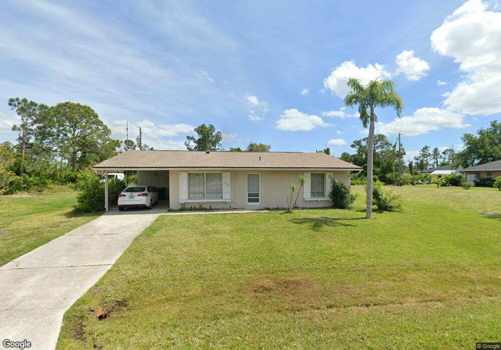
12365 Fairwind Ave Port Charlotte, FL 33981
Gulf Cove NeighborhoodEstimated Value: $179,000 - $281,000
2
Beds
2
Baths
903
Sq Ft
$250/Sq Ft
Est. Value
About This Home
This home is located at 12365 Fairwind Ave, Port Charlotte, FL 33981 and is currently estimated at $225,348, approximately $249 per square foot. 12365 Fairwind Ave is a home located in Charlotte County with nearby schools including Myakka River Elementary School, L.A. Ainger Middle School, and Lemon Bay High School.
Ownership History
Date
Name
Owned For
Owner Type
Purchase Details
Closed on
Apr 4, 2022
Sold by
Lemon Bay Equity Llc Le
Bought by
Million Jason N
Current Estimated Value
Purchase Details
Closed on
Aug 11, 2015
Sold by
Coleman John J and Coleman Betty A
Bought by
Lamirand Sylvester George
Home Financials for this Owner
Home Financials are based on the most recent Mortgage that was taken out on this home.
Original Mortgage
$119,000
Interest Rate
4.04%
Mortgage Type
VA
Create a Home Valuation Report for This Property
The Home Valuation Report is an in-depth analysis detailing your home's value as well as a comparison with similar homes in the area
Home Values in the Area
Average Home Value in this Area
Purchase History
| Date | Buyer | Sale Price | Title Company |
|---|---|---|---|
| Million Jason N | $100 | None Listed On Document | |
| Lemon Bay Equity Llc | $196,100 | -- | |
| Lamirand Sylvester George | $119,000 | First Intl Title Inc |
Source: Public Records
Mortgage History
| Date | Status | Borrower | Loan Amount |
|---|---|---|---|
| Previous Owner | Lamirand Sylvester George | $119,000 |
Source: Public Records
Tax History Compared to Growth
Tax History
| Year | Tax Paid | Tax Assessment Tax Assessment Total Assessment is a certain percentage of the fair market value that is determined by local assessors to be the total taxable value of land and additions on the property. | Land | Improvement |
|---|---|---|---|---|
| 2023 | $2,988 | $129,226 | $17,000 | $112,226 |
| 2022 | $2,717 | $126,001 | $14,025 | $111,976 |
| 2021 | $2,508 | $100,452 | $6,248 | $94,204 |
| 2020 | $2,342 | $91,267 | $6,248 | $85,019 |
| 2019 | $2,276 | $98,136 | $6,248 | $91,888 |
| 2018 | $1,932 | $77,080 | $5,950 | $71,130 |
| 2017 | $1,878 | $75,232 | $5,780 | $69,452 |
| 2016 | $1,760 | $65,632 | $0 | $0 |
| 2015 | $1,691 | $61,833 | $0 | $0 |
| 2014 | $853 | $40,949 | $0 | $0 |
Source: Public Records
Map
Nearby Homes
- 12405 Fairwind Ave
- 12361 Prudential Ave
- 12393 Prudential Ave
- 6361 David Blvd
- 12400 Prudential Ave
- 12376 Prudential Ave
- 6312 David Blvd
- 5180 Montego Ln
- 5129 Rilke Ln
- 4755 Gillot Blvd
- 5163 Cannon St
- 5236 Wentworth Rd
- 5321 Crestline Terrace
- 5266 Crestline Terrace
- 4655 Kempson Ln
- 5227 Dayton Ln
- 5413 Dayton Ln
- 5533 Kempson Ln
- 4415 Kempson Ln
- 5461 Kempson Ln
- 12373 Fairwind Ave
- 12381 Fairwind Ave
- 12368 Prudential Ave
- 12349 Fairwind Ave
- 5203 Plateau Ln
- 12392 Prudential Ave
- 12348 Fairwind Ave
- 12389 Fairwind Ave
- 5193 Plateau Ln
- 12352 Prudential Ave
- 12388 Fairwind Ave
- 12360 Prudential Ave
- 12377 Prudential Ave
- 12369 Prudential Ave
- 12397 Fairwind Ave
- 5194 Gibson Ln
- 12353 Prudential Ave
- 5213 Gibson Ln
- 12325 Fairwind Ave
- 12404 Fairwind Ave