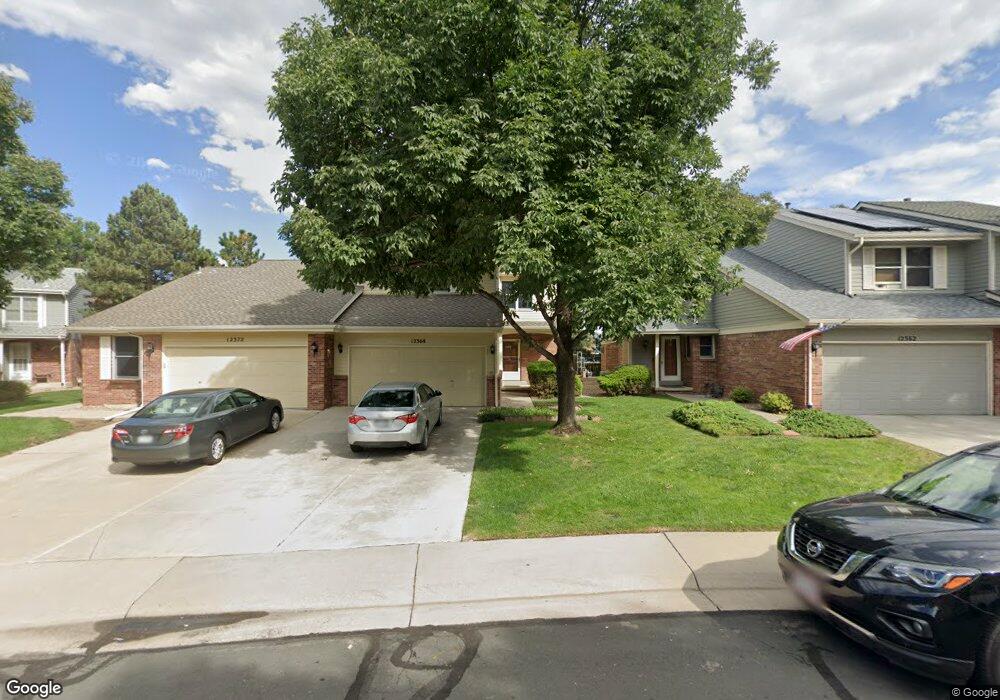
12368 Milwaukee Ct Thornton, CO 80241
Eastlake Village NeighborhoodEstimated Value: $437,480 - $486,000
3
Beds
1
Bath
1,655
Sq Ft
$272/Sq Ft
Est. Value
About This Home
This home is located at 12368 Milwaukee Ct, Thornton, CO 80241 and is currently estimated at $450,370, approximately $272 per square foot. 12368 Milwaukee Ct is a home located in Adams County with nearby schools including Stellar Elementary School, Century Middle School, and Mountain Range High School.
Ownership History
Date
Name
Owned For
Owner Type
Purchase Details
Closed on
Jun 26, 2001
Sold by
Rhoades Carol A
Bought by
Rhoades Carol A and Rhoades John R
Current Estimated Value
Home Financials for this Owner
Home Financials are based on the most recent Mortgage that was taken out on this home.
Original Mortgage
$125,000
Interest Rate
7.2%
Mortgage Type
Balloon
Purchase Details
Closed on
Nov 22, 1994
Sold by
Rhoades R John and Rhoades Carol A
Bought by
Rhoades Carol A
Purchase Details
Closed on
Dec 21, 1992
Purchase Details
Closed on
Jul 30, 1992
Create a Home Valuation Report for This Property
The Home Valuation Report is an in-depth analysis detailing your home's value as well as a comparison with similar homes in the area
Home Values in the Area
Average Home Value in this Area
Purchase History
| Date | Buyer | Sale Price | Title Company |
|---|---|---|---|
| Rhoades Carol A | -- | -- | |
| Rhoades Carol A | -- | -- | |
| -- | $109,600 | -- | |
| -- | $15,500 | -- |
Source: Public Records
Mortgage History
| Date | Status | Borrower | Loan Amount |
|---|---|---|---|
| Closed | Rhoades Carol A | $125,000 |
Source: Public Records
Tax History Compared to Growth
Tax History
| Year | Tax Paid | Tax Assessment Tax Assessment Total Assessment is a certain percentage of the fair market value that is determined by local assessors to be the total taxable value of land and additions on the property. | Land | Improvement |
|---|---|---|---|---|
| 2024 | $2,760 | $27,260 | $5,630 | $21,630 |
| 2023 | $2,731 | $30,370 | $5,070 | $25,300 |
| 2022 | $2,632 | $23,890 | $4,660 | $19,230 |
| 2021 | $2,719 | $23,890 | $4,660 | $19,230 |
| 2020 | $2,630 | $23,570 | $4,790 | $18,780 |
| 2019 | $2,635 | $23,570 | $4,790 | $18,780 |
| 2018 | $2,143 | $18,620 | $1,940 | $16,680 |
| 2017 | $1,948 | $18,620 | $1,940 | $16,680 |
| 2016 | $1,731 | $16,110 | $2,150 | $13,960 |
| 2015 | $1,729 | $16,110 | $2,150 | $13,960 |
| 2014 | -- | $11,990 | $2,150 | $9,840 |
Source: Public Records
Map
Nearby Homes
- 3225 E 124th Ave
- 12238 Monroe Dr
- 12424 Madison Way
- 12131 Elizabeth Ct
- 12672 Madison Ct
- 12215 Garfield Place
- 12604 Madison Way
- 2552 E 126th Way
- 3802 E 127th Ln
- 12380 York St
- 12113 York St
- 3989 E 121st Ave
- 12711 Colorado Blvd Unit 914
- 12711 Colorado Blvd Unit 617F
- 2420 E 127th Ave
- 12312 Colorado Blvd Unit 60
- 11928 Monroe St
- 12534 2nd St
- 3491 E 119th St
- 11879 Madison Place
- 12362 Milwaukee Ct
- 12372 Milwaukee Ct
- 12358 Milwaukee Ct
- 12378 Milwaukee Ct
- 12352 Milwaukee Ct
- 12367 Milwaukee Ct
- 12371 Milwaukee Ct
- 12361 Milwaukee Ct
- 12348 Milwaukee Ct
- 3123 E 123rd Ave
- 12357 Milwaukee Ct
- 3105 E 123rd Ave
- 3095 E 123rd Ave
- 12382 Milwaukee Ct
- 12338 Milwaukee Ct
- 3077 E 123rd Ave
- 12351 Milwaukee Ct
- 12337 Milwaukee Ct
- 12347 Milwaukee Ct
- 3059 E 123rd Ave