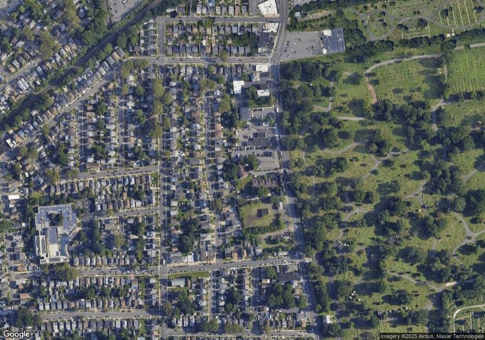
1236A N Broad St Hillside, NJ 07205
Westminster NeighborhoodEstimated Value: $356,666 - $489,000
--
Bed
--
Bath
2,131
Sq Ft
$193/Sq Ft
Est. Value
About This Home
This home is located at 1236A N Broad St, Hillside, NJ 07205 and is currently estimated at $411,417, approximately $193 per square foot. 1236A N Broad St is a home located in Union County with nearby schools including Abram P. Morris-Saybrook Elementary School, Hurden Looker School, and Ola Edwards Community School.
Ownership History
Date
Name
Owned For
Owner Type
Purchase Details
Closed on
Apr 29, 1996
Sold by
Bauer Franklyn J
Bought by
Burnett Judy and Jackson Ronald
Current Estimated Value
Create a Home Valuation Report for This Property
The Home Valuation Report is an in-depth analysis detailing your home's value as well as a comparison with similar homes in the area
Home Values in the Area
Average Home Value in this Area
Purchase History
| Date | Buyer | Sale Price | Title Company |
|---|---|---|---|
| Burnett Judy | $112,900 | -- |
Source: Public Records
Tax History Compared to Growth
Tax History
| Year | Tax Paid | Tax Assessment Tax Assessment Total Assessment is a certain percentage of the fair market value that is determined by local assessors to be the total taxable value of land and additions on the property. | Land | Improvement |
|---|---|---|---|---|
| 2025 | $9,144 | $110,800 | $10,000 | $100,800 |
| 2024 | $8,878 | $110,800 | $10,000 | $100,800 |
| 2023 | $8,878 | $110,800 | $10,000 | $100,800 |
| 2022 | $8,796 | $110,800 | $10,000 | $100,800 |
| 2021 | $8,739 | $110,800 | $10,000 | $100,800 |
| 2020 | $8,688 | $110,800 | $10,000 | $100,800 |
| 2019 | $8,519 | $110,800 | $10,000 | $100,800 |
| 2018 | $8,434 | $110,800 | $10,000 | $100,800 |
| 2017 | $8,383 | $110,800 | $10,000 | $100,800 |
| 2016 | $8,373 | $110,800 | $10,000 | $100,800 |
| 2015 | $8,299 | $110,800 | $10,000 | $100,800 |
| 2014 | $8,168 | $110,800 | $10,000 | $100,800 |
Source: Public Records
Map
Nearby Homes
- 1141 Church St
- 124 Woodruff Place
- 1432 Lexington Place Unit 1434
- 1408 Lexington Place Unit 1410
- 1444 N Broad St
- 1379 Garfield Place
- 1451 Bond St
- 1290 Baker St
- 1282 Baker St
- 170 Windsor Way
- 1473 Center St
- 155 Silver Ave
- 1406 Maple Ave
- 420 Hollywood Ave
- 149 Baltimore Ave
- 383 Conant St
- 904 Cross Ave
- 1414 Boa Place Unit 2
- 71 Georgian Ct
- 111 Hanford St
- 1236B N Broad St
- 1238A N Broad St Unit 1238A
- 1238B N Broad St
- 1240A N Broad St
- 1240 N Broad St
- 1240B N Broad St
- 1241 Robert St
- 1237 Robert St
- 1243 Robert St
- 1233 Robert St Unit 5
- 1233 Robert St Unit 2
- 1247 Robert St
- 1251 Robert St
- 1242B N Broad St
- 1242A N Broad St
- 1229 Robert St
- 1224 Robert St
- 1220 Robert St
- 1253 Robert St
- 1257 Robert St
