1236B N Broad St Hillside, NJ 07205
Westminster NeighborhoodEstimated Value: $373,000 - $584,000
Studio
--
Bath
2,131
Sq Ft
$201/Sq Ft
Est. Value
About This Home
This home is located at 1236B N Broad St, Hillside, NJ 07205 and is currently estimated at $427,850, approximately $200 per square foot. 1236B N Broad St is a home located in Union County with nearby schools including Abram P. Morris-Saybrook Elementary School, Hurden Looker School, and Ola Edwards Community School.
Ownership History
Date
Name
Owned For
Owner Type
Purchase Details
Closed on
May 26, 1999
Sold by
Poindexter Mildred
Bought by
Ward Thomas J and Ward Dale
Current Estimated Value
Create a Home Valuation Report for This Property
The Home Valuation Report is an in-depth analysis detailing your home's value as well as a comparison with similar homes in the area
Home Values in the Area
Average Home Value in this Area
Purchase History
| Date | Buyer | Sale Price | Title Company |
|---|---|---|---|
| Ward Thomas J | $116,000 | -- |
Source: Public Records
Tax History
| Year | Tax Paid | Tax Assessment Tax Assessment Total Assessment is a certain percentage of the fair market value that is determined by local assessors to be the total taxable value of land and additions on the property. | Land | Improvement |
|---|---|---|---|---|
| 2025 | $9,144 | $110,800 | $10,000 | $100,800 |
| 2024 | $8,878 | $110,800 | $10,000 | $100,800 |
| 2023 | $8,878 | $110,800 | $10,000 | $100,800 |
| 2022 | $8,796 | $110,800 | $10,000 | $100,800 |
| 2021 | $8,739 | $110,800 | $10,000 | $100,800 |
| 2020 | $8,688 | $110,800 | $10,000 | $100,800 |
| 2019 | $8,519 | $110,800 | $10,000 | $100,800 |
| 2018 | $8,434 | $110,800 | $10,000 | $100,800 |
| 2017 | $8,383 | $110,800 | $10,000 | $100,800 |
| 2016 | $8,373 | $110,800 | $10,000 | $100,800 |
| 2015 | $8,299 | $110,800 | $10,000 | $100,800 |
| 2014 | $8,168 | $110,800 | $10,000 | $100,800 |
Source: Public Records
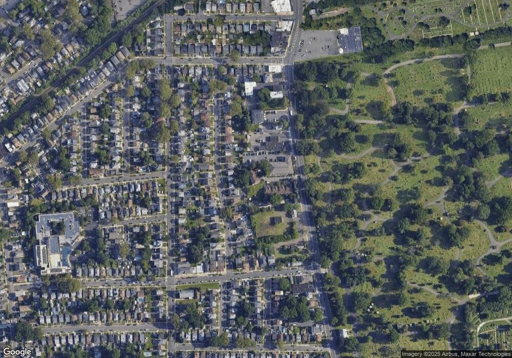
Map
Nearby Homes
- 1229 Robert St
- 1250 N Broad St Unit A1
- 24 Hollywood Ave
- 1204 Salem Ave
- 1200 Salem Ave
- 137 Fairbanks St
- 219 Hollywood Ave
- 161 Virginia St
- 124 Woodruff Place
- 1408 Lexington Place Unit 1410
- 1417 Concord Place
- 29 Long Ave
- 75 Hillside Ave
- 1444 N Broad St
- 1018 John Glenn Dr
- 345 Sanford Ave
- 1038 Fairview Place
- 1451 Bond St
- 1504 Munn Ave
- 17 Country Club Ln
- 1236A N Broad St
- 1238A N Broad St Unit 1238A
- 1238B N Broad St
- 1240A N Broad St
- 1240 N Broad St
- 1240B N Broad St
- 1241 Robert St
- 1237 Robert St
- 1243 Robert St
- 1233 Robert St Unit 5
- 1233 Robert St Unit 2
- 1242B N Broad St
- 1242A N Broad St
- 1247 Robert St
- 1251 Robert St
- 1224 Robert St
- 1220 Robert St
- 1225 Robert St
- 1253 Robert St
- 1234A N Broad St
Your Personal Tour Guide
Ask me questions while you tour the home.