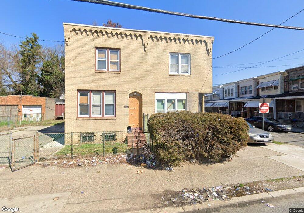
1237 Decatur St Camden, NJ 08104
Whitman Park NeighborhoodEstimated Value: $164,819 - $180,000
3
Beds
1
Bath
1,440
Sq Ft
$120/Sq Ft
Est. Value
About This Home
This home is located at 1237 Decatur St, Camden, NJ 08104 and is currently estimated at $172,455, approximately $119 per square foot. 1237 Decatur St is a home located in Camden County with nearby schools including Riletta Twyne Cream Family School, Camden High School, and Freedom Prep Charter School.
Ownership History
Date
Name
Owned For
Owner Type
Purchase Details
Closed on
Aug 13, 2010
Sold by
Secretary Of Veterans Affairs
Bought by
Amakori Dennis
Current Estimated Value
Purchase Details
Closed on
May 22, 2010
Sold by
Raby John A
Bought by
Secretary Of Veterans Affairs
Purchase Details
Closed on
Feb 24, 1994
Sold by
Velez Carmelo
Bought by
Raby John
Home Financials for this Owner
Home Financials are based on the most recent Mortgage that was taken out on this home.
Original Mortgage
$43,000
Interest Rate
7.01%
Mortgage Type
Commercial
Create a Home Valuation Report for This Property
The Home Valuation Report is an in-depth analysis detailing your home's value as well as a comparison with similar homes in the area
Home Values in the Area
Average Home Value in this Area
Purchase History
| Date | Buyer | Sale Price | Title Company |
|---|---|---|---|
| Amakori Dennis | $21,000 | -- | |
| Secretary Of Veterans Affairs | -- | -- | |
| Raby John | $42,000 | -- |
Source: Public Records
Mortgage History
| Date | Status | Borrower | Loan Amount |
|---|---|---|---|
| Previous Owner | Raby John | $43,000 |
Source: Public Records
Tax History Compared to Growth
Tax History
| Year | Tax Paid | Tax Assessment Tax Assessment Total Assessment is a certain percentage of the fair market value that is determined by local assessors to be the total taxable value of land and additions on the property. | Land | Improvement |
|---|---|---|---|---|
| 2025 | $1,977 | $55,800 | $7,000 | $48,800 |
| 2024 | $1,911 | $55,800 | $7,000 | $48,800 |
| 2023 | $1,911 | $55,800 | $7,000 | $48,800 |
| 2022 | $1,875 | $55,800 | $7,000 | $48,800 |
| 2021 | $1,816 | $55,800 | $7,000 | $48,800 |
| 2020 | $1,774 | $55,800 | $7,000 | $48,800 |
| 2019 | $1,699 | $55,800 | $7,000 | $48,800 |
| 2018 | $1,690 | $55,800 | $7,000 | $48,800 |
| 2017 | $1,339 | $45,300 | $7,000 | $38,300 |
| 2016 | $1,296 | $45,300 | $7,000 | $38,300 |
| 2015 | $1,248 | $45,300 | $7,000 | $38,300 |
| 2014 | $1,218 | $45,300 | $7,000 | $38,300 |
Source: Public Records
Map
Nearby Homes
- 1257 Dayton St
- 1220 Jackson St
- 1270 Jackson St
- 1239 Jackson St
- 1331 Browning St
- 1352 Carl Miller Blvd
- 1240 Chase St
- 1325 Sheridan St
- 1575 Louis St
- 1261 Chase St
- 1183 Chase St
- 1165 Chase St
- 1218 Morton St
- 1216 Morton St
- 1574 Mount Ephraim Ave
- 1606 Pershing St
- 1165 Morton St
- 1889 Charles St
- 2033 -2043 S 10th St
- 1097 Morton St
- 1235 Decatur St
- 1229 Decatur St
- 1720 Cope St
- 1718 Cope St
- 1722 Cope St
- 1726 Cope St
- 1724 Cope St
- 1716 Cope St
- 1714 Cope St
- 1242 Carl Miller Blvd
- 1240 Carl Miller Blvd
- 1238 Carl Miller Blvd
- 1244 Carl Miller Blvd
- 1236 Carl Miller Blvd
- 1221 Decatur St
- 1246 Carl Miller Blvd
- 1234 Carl Miller Blvd
- 1219 Decatur St
- 1230 Carl Miller Blvd
- 1248 Carl Miller Blvd