Estimated Value: $814,989
Studio
--
Bath
4,428
Sq Ft
$184/Sq Ft
Est. Value
About This Home
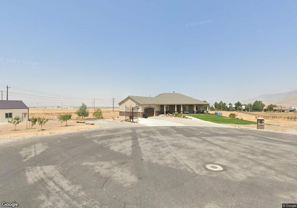
This home is located at 1237 E Wild Flower Ct Unit 117, Erda, UT 84074 and is currently priced at $814,989, approximately $184 per square foot. 1237 E Wild Flower Ct Unit 117 is a home located in Tooele County with nearby schools including Copper Canyon Elementary School, Clarke N. Johnsen Junior High School, and Stansbury High School.
Ownership History
Date
Name
Owned For
Owner Type
Purchase Details
Closed on
Nov 26, 2018
Sold by
Palmer Richard D and Palmer Karrie L
Bought by
Palmer Richard D and Palmer Karrie L
Current Estimated Value
Home Financials for this Owner
Home Financials are based on the most recent Mortgage that was taken out on this home.
Original Mortgage
$200,000
Interest Rate
4.8%
Mortgage Type
Credit Line Revolving
Create a Home Valuation Report for This Property
The Home Valuation Report is an in-depth analysis detailing your home's value as well as a comparison with similar homes in the area
Purchase History
| Date | Buyer | Sale Price | Title Company |
|---|---|---|---|
| Palmer Richard D | -- | Tooele Title Company |
Source: Public Records
Mortgage History
| Date | Status | Borrower | Loan Amount |
|---|---|---|---|
| Closed | Palmer Richard D | $200,000 |
Source: Public Records
Tax History
| Year | Tax Paid | Tax Assessment Tax Assessment Total Assessment is a certain percentage of the fair market value that is determined by local assessors to be the total taxable value of land and additions on the property. | Land | Improvement |
|---|---|---|---|---|
| 2025 | $6,047 | $875,556 | $337,125 | $538,431 |
| 2024 | $6,844 | $538,584 | $243,250 | $295,334 |
| 2023 | $6,844 | $520,830 | $248,750 | $272,080 |
| 2022 | $5,720 | $518,932 | $247,000 | $271,932 |
| 2021 | $5,043 | $383,957 | $155,750 | $228,207 |
| 2020 | $4,967 | $603,897 | $159,000 | $444,897 |
| 2019 | $4,584 | $560,397 | $115,500 | $444,897 |
| 2018 | $2,925 | $320,855 | $115,500 | $205,355 |
| 2017 | $1,563 | $115,500 | $115,500 | $0 |
| 2016 | $1,635 | $115,500 | $115,500 | $0 |
| 2015 | $1,635 | $122,000 | $0 | $0 |
| 2014 | -- | $122,000 | $0 | $0 |
Source: Public Records
Map
Nearby Homes
- 472 E 1420 N
- 1194 N 690 E
- 438 E 1480 N
- 2065 N Lincoln Ln
- 1741 Copper Canyon Dr Unit 1288
- 1735 Copper Canyon Dr Unit 1286
- 1725 Copper Canyon Dr Unit 1283
- 475 E 1310 N
- 1917 N Blue Iris Ave Unit 1090
- 1760 N Patchwork Ave Unit 1257
- 1731 N Copper Canyon Dr Unit 1285
- 1735 N Copper Canyon Dr Unit 1286
- 1782 N Patchwork Ave Unit 1252
- 1749 N Copper Canyon Dr Unit 1290
- 1833 N Blue Iris Ave Unit 1073
- 1908 N Patchwork Ave Unit 1109
- 1938 Walker Rd
- 1046 Cedarwood Rd
- 405 E 1310 N
- 1770 N Patchwork Ave Unit 1255
- 1237 E Wildflower Ct Unit 117
- 1227 Pine Canyon Rd
- 1261 Pine Canyon Rd
- 1965 N Spring Meadow Dr
- 1965 Spring Meadow Dr Unit 119
- 1965 Spring Meadow Dr
- 1965 Spring Meadow Dr
- 1827 N Mountain Air Ln Unit 116
- 1827 N Mountain Air Ln
- 1869 N Mountain Air Ln
- 1281 Pine Canyon Rd
- 1281 Pine Canyon Rd
- 2052 Droubay Rd
- 1779 N Mountain Air Ln Unit 115
- 1779 N Mountain Air Ln Unit 115
- 1779 N Mountain Air Ln
- 2076 N Droubay Rd
- 1343 Pine Canyon Rd
- 1652 2000 N Unit 2
- 1850 2000 N Unit 3
Your Personal Tour Guide
Ask me questions while you tour the home.