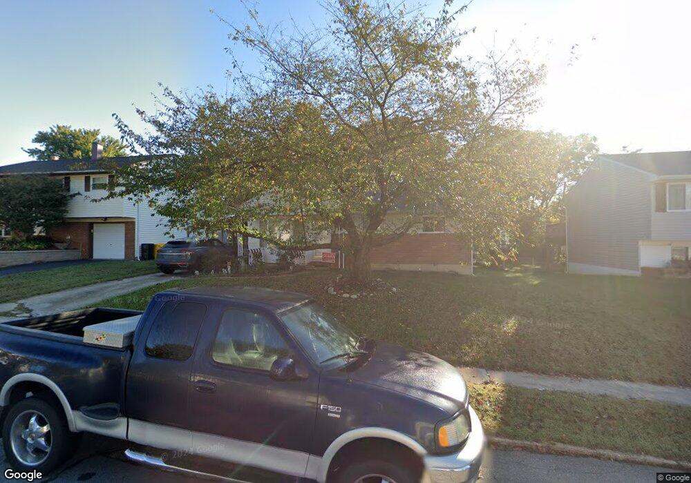
1237 Kimberly Ln Glen Burnie, MD 21061
Estimated Value: $299,152 - $404,000
--
Bed
1
Bath
972
Sq Ft
$372/Sq Ft
Est. Value
About This Home
This home is located at 1237 Kimberly Ln, Glen Burnie, MD 21061 and is currently estimated at $361,288, approximately $371 per square foot. 1237 Kimberly Ln is a home located in Anne Arundel County with nearby schools including George T. Cromwell Elementary School, Lindale Middle School, and North County High School.
Ownership History
Date
Name
Owned For
Owner Type
Purchase Details
Closed on
Jul 7, 2005
Sold by
Junkerman Edwin A
Bought by
O'Neal Fred M and O'Neal Trisha M
Current Estimated Value
Home Financials for this Owner
Home Financials are based on the most recent Mortgage that was taken out on this home.
Original Mortgage
$201,840
Outstanding Balance
$103,382
Interest Rate
5.37%
Mortgage Type
Adjustable Rate Mortgage/ARM
Estimated Equity
$257,906
Create a Home Valuation Report for This Property
The Home Valuation Report is an in-depth analysis detailing your home's value as well as a comparison with similar homes in the area
Home Values in the Area
Average Home Value in this Area
Purchase History
| Date | Buyer | Sale Price | Title Company |
|---|---|---|---|
| O'Neal Fred M | $252,350 | -- |
Source: Public Records
Mortgage History
| Date | Status | Borrower | Loan Amount |
|---|---|---|---|
| Open | O'Neal Fred M | $201,840 |
Source: Public Records
Tax History Compared to Growth
Tax History
| Year | Tax Paid | Tax Assessment Tax Assessment Total Assessment is a certain percentage of the fair market value that is determined by local assessors to be the total taxable value of land and additions on the property. | Land | Improvement |
|---|---|---|---|---|
| 2025 | $2,851 | $268,200 | $156,500 | $111,700 |
| 2024 | $2,851 | $254,667 | $0 | $0 |
| 2023 | $2,761 | $241,133 | $0 | $0 |
| 2022 | $2,568 | $227,600 | $125,000 | $102,600 |
| 2021 | $5,039 | $217,300 | $0 | $0 |
| 2020 | $2,431 | $207,000 | $0 | $0 |
| 2019 | $2,385 | $196,700 | $92,900 | $103,800 |
| 2018 | $1,995 | $196,700 | $92,900 | $103,800 |
| 2017 | $2,261 | $196,700 | $0 | $0 |
| 2016 | -- | $202,600 | $0 | $0 |
| 2015 | -- | $199,167 | $0 | $0 |
| 2014 | -- | $195,733 | $0 | $0 |
Source: Public Records
Map
Nearby Homes
- 103 Janelin Dr
- 30 W Furnace Branch Rd
- 114 Wellham Ave NW
- 307 Shipley Ave
- 904 Pleasantville Dr
- 1509 Baby Baer Ct
- 1515 Baby Baer Ct
- 898 Brighton Place
- 1603 Sunshine St
- 1611 Tieman Dr
- 1614 Tieman Dr
- 933 Andrews Rd
- 0 Ritchie Hwy
- 1009 Langley Rd
- 2 Woods Ave
- 607 Wellham Ave
- 103 Vista Ave
- 613 Wellham Ave
- 6800 White Water Way Unit 203
- 6803 White Water Way Unit U101
- 1235 Kimberly Ln
- 1239 Kimberly Ln
- 138 Janelin Ct
- 1233 Kimberly Ln
- 142 Janelin Dr
- 1241 Kimberly Ln
- 1303 Aster Dr
- 1232 Kimberly Ln
- 136 Janelin Ct
- 1230 Kimberly Ln
- 1305 Aster Dr
- 140 Janelin Dr
- 1228 Kimberly Ln
- 1234 Kimberly Ln
- 1307 Aster Dr
- 1226 Kimberly Ln
- 1235 Aster Dr
- 134 Janelin Ct
- 1233 Aster Dr
- 1231 Aster Dr