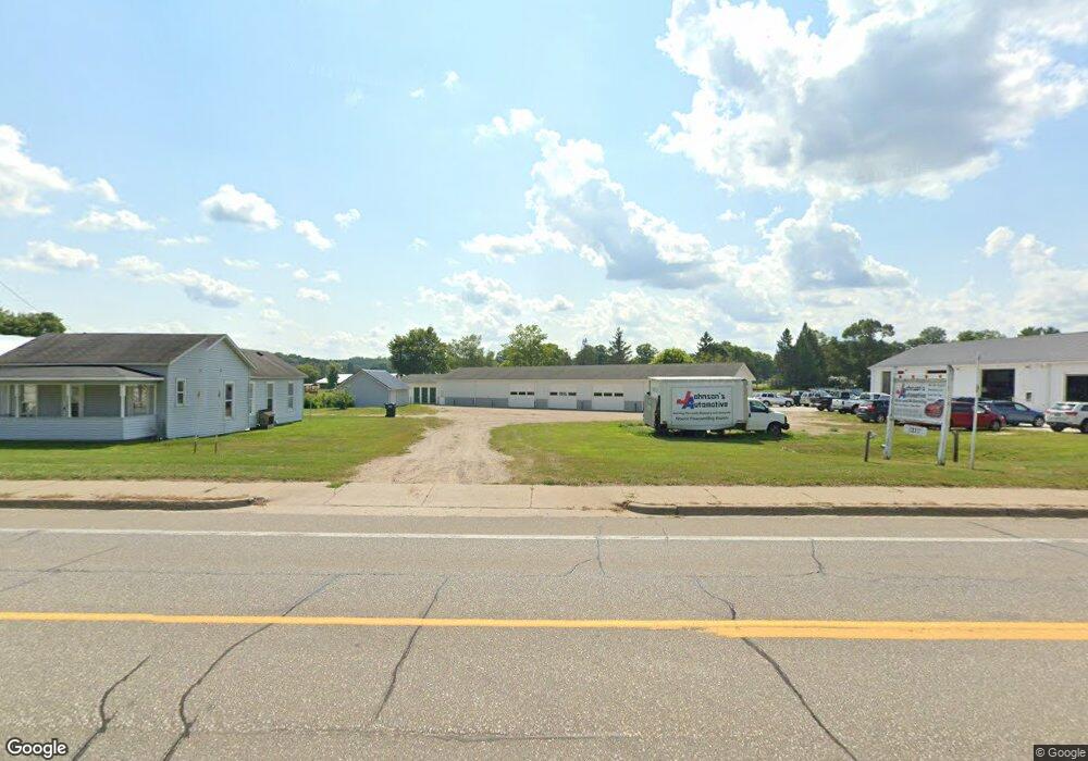
1237 N State St Big Rapids, MI 49307
Estimated Value: $175,190
Studio
--
Bath
5,448
Sq Ft
$32/Sq Ft
Est. Value
About This Home
This home is located at 1237 N State St, Big Rapids, MI 49307 and is currently estimated at $175,190, approximately $32 per square foot. 1237 N State St is a home located in Mecosta County with nearby schools including Big Rapids High School, Crossroads Charter Academy Elementary School, and Crossroads Charter Academy Middle/High School.
Ownership History
Date
Name
Owned For
Owner Type
Purchase Details
Closed on
Jun 23, 2021
Sold by
Pease Wilbur and Pease Cindy
Bought by
L & M Johnson Properties Llc
Current Estimated Value
Purchase Details
Closed on
Dec 4, 2015
Sold by
L & M Johnson Properties Llc
Bought by
Kag Properties Llc
Home Financials for this Owner
Home Financials are based on the most recent Mortgage that was taken out on this home.
Original Mortgage
$130,000
Interest Rate
3.88%
Mortgage Type
Future Advance Clause Open End Mortgage
Create a Home Valuation Report for This Property
The Home Valuation Report is an in-depth analysis detailing your home's value as well as a comparison with similar homes in the area
Home Values in the Area
Average Home Value in this Area
Purchase History
| Date | Buyer | Sale Price | Title Company |
|---|---|---|---|
| L & M Johnson Properties Llc | $121,858 | Lakeland Title Of Mecosta Co | |
| L & M Johnson Properties Llc | $121,858 | Lakeland Title Of Mecosta Co | |
| Kag Properties Llc | $130,000 | Lakeland Title |
Source: Public Records
Mortgage History
| Date | Status | Borrower | Loan Amount |
|---|---|---|---|
| Previous Owner | Kag Properties Llc | $130,000 |
Source: Public Records
Tax History
| Year | Tax Paid | Tax Assessment Tax Assessment Total Assessment is a certain percentage of the fair market value that is determined by local assessors to be the total taxable value of land and additions on the property. | Land | Improvement |
|---|---|---|---|---|
| 2025 | $5,852 | $128,900 | $0 | $0 |
| 2024 | -- | $126,400 | $0 | $0 |
| 2023 | -- | $125,500 | $0 | $0 |
| 2022 | $0 | $80,100 | $0 | $0 |
Source: Public Records
Map
Nearby Homes
- 20600 Rolling Hills Ln
- 515 W Bridge St
- 818 N State St
- 226 Baldwin St
- 118 E Grand Traverse St
- 722 Tioga Park Dr Unit 722
- 734 Unit 734 Tioga Park
- 709 Tioga Park Dr
- 717 Tioga Park Dr Unit 717
- 713 Tioga Park Dr
- 513 Rose Ave
- 521 N Michigan Ave
- 16659 Canyon Cove Unit 13
- 919 Bjornson St
- 16289 Birch Top Ridge Unit 40
- 16327 Birch Top Ridge
- 1405 Bjornson St
- 16282 Mitchell Creek Trail
- 16314 Mitchell Creek Trail
- 305 W Pine St