1237 Parsons Rd Mapleton, ME 04757
Estimated Value: $306,000 - $437,306
3
Beds
2
Baths
1,665
Sq Ft
$209/Sq Ft
Est. Value
About This Home
This home is located at 1237 Parsons Rd, Mapleton, ME 04757 and is currently estimated at $348,077, approximately $209 per square foot. 1237 Parsons Rd is a home located in Aroostook County with nearby schools including Presque Isle Middle School and Presque Isle High School.
Ownership History
Date
Name
Owned For
Owner Type
Purchase Details
Closed on
Jan 27, 2021
Sold by
Maynard Russell D and Maynard Beverly
Bought by
Funfgeld Thomas
Current Estimated Value
Home Financials for this Owner
Home Financials are based on the most recent Mortgage that was taken out on this home.
Original Mortgage
$260,000
Outstanding Balance
$229,655
Interest Rate
2.65%
Mortgage Type
New Conventional
Estimated Equity
$118,422
Purchase Details
Closed on
Mar 17, 2011
Sold by
Maynard Donald and Maynard Russell
Bought by
Maynard Russell and Maynard Beverly
Create a Home Valuation Report for This Property
The Home Valuation Report is an in-depth analysis detailing your home's value as well as a comparison with similar homes in the area
Purchase History
| Date | Buyer | Sale Price | Title Company |
|---|---|---|---|
| Funfgeld Thomas | -- | None Available | |
| Maynard Russell | -- | -- | |
| Maynard Russell | -- | -- |
Source: Public Records
Mortgage History
| Date | Status | Borrower | Loan Amount |
|---|---|---|---|
| Open | Funfgeld Thomas | $260,000 |
Source: Public Records
Tax History
| Year | Tax Paid | Tax Assessment Tax Assessment Total Assessment is a certain percentage of the fair market value that is determined by local assessors to be the total taxable value of land and additions on the property. | Land | Improvement |
|---|---|---|---|---|
| 2024 | $4,100 | $326,700 | $31,100 | $295,600 |
| 2023 | $3,923 | $275,300 | $31,100 | $244,200 |
| 2022 | $3,742 | $231,700 | $21,500 | $210,200 |
| 2021 | $3,742 | $231,700 | $21,500 | $210,200 |
| 2020 | $3,823 | $231,700 | $21,500 | $210,200 |
| 2019 | $3,747 | $234,200 | $21,500 | $212,700 |
| 2018 | $462 | $221,800 | $21,300 | $200,500 |
| 2017 | $3,461 | $224,000 | $21,100 | $202,900 |
| 2016 | $3,517 | $224,000 | $21,100 | $202,900 |
| 2015 | $3,351 | $226,400 | $21,100 | $205,300 |
| 2014 | $3,373 | $226,400 | $21,100 | $205,300 |
| 2013 | $2,504 | $172,700 | $21,100 | $151,600 |
Source: Public Records
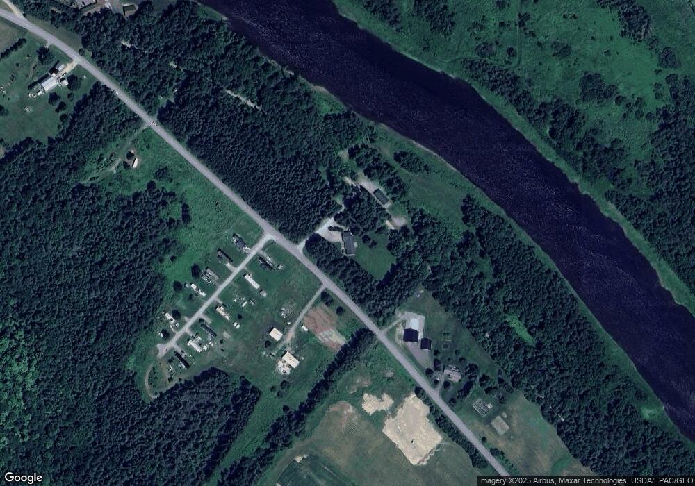
Map
Nearby Homes
- 339 Parsons Rd
- 281 Cross Rd
- 163 Caribou Rd
- 145 Caribou Rd
- 459 Griffin Ridge Rd
- M6L38 Coffin Rd
- 381 Caribou Rd
- 17 Washburn Rd
- 443 Caribou Rd
- 14 Reach Rd
- 1421 State Rd
- 499 Caribou Rd
- Lot 7 Off Pulcifer Rd
- 26 Braden St Unit 26 Braden
- 5 Verone St
- 10 Delmont St
- M2 L39-1 Pease Rd
- 25 Turner St
- 17 School St
- 9 School St
- 1244 Parsons Rd
- 1232 Parsons Rd
- 1209 Parsons Rd
- 1286 Parsons Rd
- 352 Washburn Rd Unit 167
- 513 Parsons Rd
- 354 Washburn Rd
- 398 Washburn Rd
- 1358 Parsons Rd
- 382 Washburn Rd
- 372 Washburn Rd
- 399 Washburn Rd
- 00 Washburn Rd
- 00 Washburn Rd Off Route 227
- 4 Washburn Rd
- 14 Washburn Rd
- 14 Washburn Rd
- 11 Washburn Rd
- 373 Washburn Rd
- 2 Chandler Rd
Your Personal Tour Guide
Ask me questions while you tour the home.