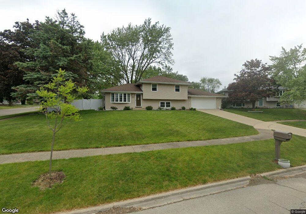
1237 Rick Ct Joliet, IL 60431
Southwest Joliet NeighborhoodEstimated Value: $276,267 - $363,000
Studio
--
Bath
1,680
Sq Ft
$190/Sq Ft
Est. Value
About This Home
This home is located at 1237 Rick Ct, Joliet, IL 60431 and is currently estimated at $319,567, approximately $190 per square foot. 1237 Rick Ct is a home located in Will County with nearby schools including Troy Craughwell Elementary School, Troy Middle School, and Orenic Intermediate School.
Ownership History
Date
Name
Owned For
Owner Type
Purchase Details
Closed on
Nov 12, 1993
Sold by
Donahue John M and Donahue Janet M
Bought by
Frausto Gary and Frausto Deanna
Current Estimated Value
Home Financials for this Owner
Home Financials are based on the most recent Mortgage that was taken out on this home.
Original Mortgage
$87,300
Interest Rate
6.96%
Create a Home Valuation Report for This Property
The Home Valuation Report is an in-depth analysis detailing your home's value as well as a comparison with similar homes in the area
Home Values in the Area
Average Home Value in this Area
Purchase History
| Date | Buyer | Sale Price | Title Company |
|---|---|---|---|
| Frausto Gary | $97,000 | Chicago Title Insurance Co |
Source: Public Records
Mortgage History
| Date | Status | Borrower | Loan Amount |
|---|---|---|---|
| Closed | Frausto Gary | $87,300 |
Source: Public Records
Tax History
| Year | Tax Paid | Tax Assessment Tax Assessment Total Assessment is a certain percentage of the fair market value that is determined by local assessors to be the total taxable value of land and additions on the property. | Land | Improvement |
|---|---|---|---|---|
| 2024 | $7,580 | $94,337 | $12,319 | $82,018 |
| 2023 | $7,580 | $84,759 | $11,068 | $73,691 |
| 2022 | $6,194 | $72,732 | $10,473 | $62,259 |
| 2021 | $5,800 | $68,421 | $9,852 | $58,569 |
| 2020 | $5,312 | $63,090 | $9,852 | $53,238 |
| 2019 | $5,146 | $60,518 | $9,450 | $51,068 |
| 2018 | $4,757 | $54,900 | $9,450 | $45,450 |
| 2017 | $4,344 | $49,800 | $9,450 | $40,350 |
| 2016 | $4,181 | $46,650 | $9,450 | $37,200 |
| 2015 | $3,742 | $43,360 | $8,360 | $35,000 |
| 2014 | $3,742 | $41,410 | $8,360 | $33,050 |
| 2013 | $3,742 | $44,650 | $8,360 | $36,290 |
Source: Public Records
Map
Nearby Homes
- 3707 Pandola Ave
- 1101 Lindsay St
- 1327 Timberline Dr
- 717 Westridge Rd
- 710 Reserve Ln
- 3709 Squires Mill Rd
- 1814 Addleman St
- 1811 Brockway Pond Ct
- 3501 Bankview Dr
- 1511 Thornwood Ln
- 720 Meadow Wood Dr
- 1306 Galway Rd Unit 4
- 917 Murphy Dr
- 1959 Timberview Dr
- 3107 Ingalls Ave Unit 3B
- 3716 Fiday Rd
- 1109 Kerry Ln
- 1706 Quinn Dr
- 506 Timberline Dr
- 410 Rollingwood Ln Unit 1
- 3761 Pandola Ave
- 1243 Rick Ct
- 3754 Pandola Ave
- 1249 Rick Ct
- 3748 Pandola Ave
- 1332 Raymond St
- 1238 Raymond St
- 3760 Pandola Ave
- 1250 Rick Ct
- 3742 Pandola Ave
- 1244 Rick Ct
- 3778 Buck Ave
- 1244 Raymond St
- 3772 Buck Ave Unit 5D
- 3766 Pandola Ave
- 3736 Pandola Ave
- 3760 Buck Ave
- 3754 Buck Ave
- 3731 Pandola Ave
- 3713 Flowermeadow St
Your Personal Tour Guide
Ask me questions while you tour the home.