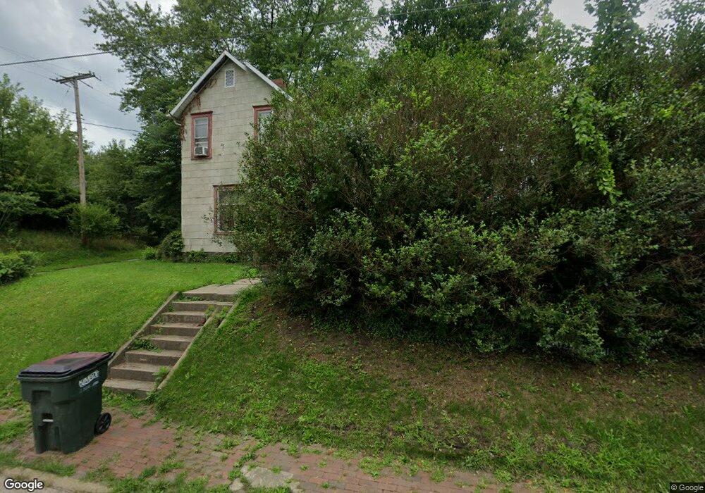
1237 S Mahoning Ave Alliance, OH 44601
Estimated Value: $55,000 - $94,000
2
Beds
1
Bath
1,118
Sq Ft
$70/Sq Ft
Est. Value
About This Home
This home is located at 1237 S Mahoning Ave, Alliance, OH 44601 and is currently estimated at $78,376, approximately $70 per square foot. 1237 S Mahoning Ave is a home located in Stark County with nearby schools including Alliance Elementary School at Rockhill, Alliance Intermediate School at Northside, and Alliance Middle School.
Ownership History
Date
Name
Owned For
Owner Type
Purchase Details
Closed on
Oct 22, 2025
Sold by
Private Selling Officer
Bought by
Midfirst Bank
Current Estimated Value
Purchase Details
Closed on
Feb 1, 2008
Sold by
Regoli Edna F
Bought by
Steed Ryan and Steed Roger H
Home Financials for this Owner
Home Financials are based on the most recent Mortgage that was taken out on this home.
Original Mortgage
$34,459
Interest Rate
6.22%
Mortgage Type
FHA
Create a Home Valuation Report for This Property
The Home Valuation Report is an in-depth analysis detailing your home's value as well as a comparison with similar homes in the area
Home Values in the Area
Average Home Value in this Area
Purchase History
| Date | Buyer | Sale Price | Title Company |
|---|---|---|---|
| Midfirst Bank | $35,750 | None Listed On Document | |
| Steed Ryan | $35,000 | Quest Title Agency Inc |
Source: Public Records
Mortgage History
| Date | Status | Borrower | Loan Amount |
|---|---|---|---|
| Previous Owner | Steed Ryan | $34,459 |
Source: Public Records
Tax History
| Year | Tax Paid | Tax Assessment Tax Assessment Total Assessment is a certain percentage of the fair market value that is determined by local assessors to be the total taxable value of land and additions on the property. | Land | Improvement |
|---|---|---|---|---|
| 2025 | -- | $18,730 | $2,980 | $15,750 |
| 2024 | -- | $18,730 | $2,980 | $15,750 |
| 2023 | $583 | $14,500 | $3,050 | $11,450 |
| 2022 | $587 | $14,500 | $3,050 | $11,450 |
| 2021 | $587 | $14,500 | $3,050 | $11,450 |
| 2020 | $513 | $11,830 | $2,660 | $9,170 |
| 2019 | $506 | $11,840 | $2,660 | $9,180 |
| 2018 | $508 | $11,840 | $2,660 | $9,180 |
| 2017 | $443 | $10,160 | $2,240 | $7,920 |
| 2016 | $447 | $10,160 | $2,240 | $7,920 |
| 2015 | $451 | $10,160 | $2,240 | $7,920 |
| 2014 | $373 | $7,990 | $2,030 | $5,960 |
| 2013 | $186 | $7,990 | $2,030 | $5,960 |
Source: Public Records
Map
Nearby Homes
- 1522 Wade Ave
- 22862 Norman Ave
- 834 Devine St
- 1511 Grace St
- 935 S Morgan Ave
- 955 E Summit St
- 624 E College St
- 1350 S Freedom Ave
- 900 S Seneca Ave
- 1841 S Freedom Ave
- 452 E Summit St
- 442 S Liberty Ave
- 225 Shadyside Ct
- 231 Rosenberry St
- 234 Rosenberry St
- 167 11th St
- 726 S Arch Ave
- 134 11th St
- V/L S Freedom Ave
- 2540 S Mahoning Ave
- 1236 Willow Ave
- 1226 Willow Ave
- 1205 S Mahoning Ave
- 1415 South St
- 1255 S Mahoning Ave
- 1212 S Mahoning Ave
- 1403 South St
- 1206 S Mahoning Ave
- 1204 S Mahoning Ave
- 1187 S Mahoning Ave
- 1420 South St
- 1239 Willow Ave
- 1229 Willow Ave
- 1347 South St
- 1281 S Mahoning Ave
- 1291 S Mahoning Ave
- 1345 1347 South St
- 1345 South St
- 1416 South St
- 1184 S Mahoning Ave
Your Personal Tour Guide
Ask me questions while you tour the home.