1237 Winrock Dr Morrilton, AR 72110
Estimated Value: $227,000 - $421,000
--
Bed
2
Baths
2,000
Sq Ft
$162/Sq Ft
Est. Value
About This Home
This home is located at 1237 Winrock Dr, Morrilton, AR 72110 and is currently estimated at $324,462, approximately $162 per square foot. 1237 Winrock Dr is a home located in Conway County with nearby schools including Morrilton Primary School, Morrilton Elementary School, and Morrilton Intermediate School.
Ownership History
Date
Name
Owned For
Owner Type
Purchase Details
Closed on
Jan 14, 2021
Sold by
Mckuin Barry L and Mckuin Phyllis J
Bought by
Barry L Mckuin And Phyllis J Mckuin Family Tr and Mckuin
Current Estimated Value
Purchase Details
Closed on
Jan 13, 2021
Sold by
Mckuin Barry L and Mckuin Phyllis J
Bought by
Mckuin Phyllis J and Mckuin Barry L
Purchase Details
Closed on
May 28, 2013
Sold by
Hutchecoft Theodore and Hutchcroft Beverly J
Bought by
Mckuin Barry and Mckuin Phyllis
Purchase Details
Closed on
Sep 8, 1987
Bought by
Hutchcroft Theodore and Hutchcroft Beverly J
Purchase Details
Closed on
Jul 23, 1987
Bought by
Hutchcroft Theodore and Hutchcroft Beverly J
Create a Home Valuation Report for This Property
The Home Valuation Report is an in-depth analysis detailing your home's value as well as a comparison with similar homes in the area
Home Values in the Area
Average Home Value in this Area
Purchase History
| Date | Buyer | Sale Price | Title Company |
|---|---|---|---|
| Barry L Mckuin And Phyllis J Mckuin Family Tr | -- | None Listed On Document | |
| Mckuin Phyllis J | -- | None Available | |
| Mckuin Barry | -- | -- | |
| Hutchcroft Theodore | $1,000 | -- | |
| Hutchcroft Theodore | -- | -- |
Source: Public Records
Tax History Compared to Growth
Tax History
| Year | Tax Paid | Tax Assessment Tax Assessment Total Assessment is a certain percentage of the fair market value that is determined by local assessors to be the total taxable value of land and additions on the property. | Land | Improvement |
|---|---|---|---|---|
| 2025 | $2,758 | $56,180 | $18,530 | $37,650 |
| 2024 | $2,758 | $56,180 | $18,530 | $37,650 |
| 2023 | $2,758 | $56,180 | $18,530 | $37,650 |
| 2022 | $2,594 | $56,180 | $18,530 | $37,650 |
| 2021 | $2,358 | $48,020 | $17,900 | $30,120 |
| 2020 | $2,375 | $48,020 | $17,900 | $30,120 |
| 2019 | $2,358 | $48,020 | $17,900 | $30,120 |
| 2018 | $2,358 | $48,020 | $17,900 | $30,120 |
| 2017 | $2,358 | $48,020 | $17,900 | $30,120 |
| 2016 | $2,415 | $49,900 | $17,900 | $32,000 |
| 2015 | $2,221 | $49,900 | $17,900 | $32,000 |
| 2014 | $2,221 | $29,271 | $7,451 | $21,820 |
Source: Public Records
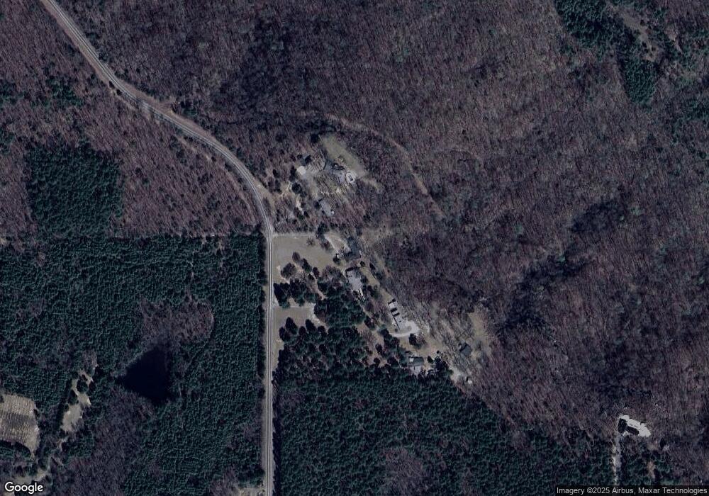
Map
Nearby Homes
- 1284 Winrock Dr
- 1097 Winrock Dr
- 53 64 75 Pawpaw Bend Rd
- 965 Winrock Dr
- 22 Wildwood Vista
- 816 Winrock Dr
- 160 Acres America Rd
- 18 Lost Cabin Rd
- 22 Tanglewood Ave
- 30 Acres Davies Ln
- 222 Riverview Rd
- Lot 116 Country View Ct
- 00 Bartlett Dr
- 36 Par Ct
- 00 N Ridge Rd
- 154 Cr
- 378 Arkansas 9
- 11 Earl St
- TBD Burrow
- Block 1 Lots 16 & 17
- 1239 Winrock Dr
- 1235 Winrock Dr
- 1251 Winrock Dr
- 1233 Winrock Dr
- 1261 Winrock Dr
- 1261 Winrock Dr Unit Petit Jean Mountain
- 0 Winrock Dr Unit Petit Jean Mountain
- 0 Winrock Dr
- 1163 Winrock Dr
- 1153 Winrock Dr
- 1139 Winrock Dr
- 1107 Winrock Dr
- 2355 Petit Jean Mountain Rd
- 1944 Petit Jean Mountain Rd
- 1942 Petit Jean Mountain Rd
- 1075 Winrock Dr
- 1938 Petit Jean Mountain Rd
- 2350 Petit Jean Mountain Rd
- 1927 Petit Jean Mountain Rd
- 88 Paw Paw Bend Rd