12370 Dunham Rd Unit Bldg-Unit Hartland, MI 48353
Estimated Value: $313,580 - $372,000
2
Beds
1
Bath
1,248
Sq Ft
$273/Sq Ft
Est. Value
About This Home
This home is located at 12370 Dunham Rd Unit Bldg-Unit, Hartland, MI 48353 and is currently estimated at $340,395, approximately $272 per square foot. 12370 Dunham Rd Unit Bldg-Unit is a home located in Livingston County with nearby schools including Hartland High School, Our Savior Evangelical Lutheran School, and West Highland Christian Academy.
Ownership History
Date
Name
Owned For
Owner Type
Purchase Details
Closed on
Apr 12, 2022
Sold by
Leonard Billings
Bought by
Billings Leonard and Dunaski Tammy Marie
Current Estimated Value
Purchase Details
Closed on
Aug 28, 2018
Sold by
Petrie Gary E and Petrie Carol
Bought by
Billings Leonard
Purchase Details
Closed on
Jul 12, 2018
Sold by
Petrie Gary E and Petrie Carol
Bought by
Billings Leonard
Create a Home Valuation Report for This Property
The Home Valuation Report is an in-depth analysis detailing your home's value as well as a comparison with similar homes in the area
Home Values in the Area
Average Home Value in this Area
Purchase History
| Date | Buyer | Sale Price | Title Company |
|---|---|---|---|
| Billings Leonard | -- | Cooper & Riesterer | |
| Billings Leonard | -- | Cooper & Riesterer | |
| Billings Leonard | $201,000 | New Title Company Name | |
| Billings Leonard | $201,000 | New Title Company Name |
Source: Public Records
Tax History Compared to Growth
Tax History
| Year | Tax Paid | Tax Assessment Tax Assessment Total Assessment is a certain percentage of the fair market value that is determined by local assessors to be the total taxable value of land and additions on the property. | Land | Improvement |
|---|---|---|---|---|
| 2025 | $3,235 | $138,000 | $0 | $0 |
| 2024 | $1,402 | $132,400 | $0 | $0 |
| 2023 | $1,340 | $113,700 | $0 | $0 |
| 2022 | $2,941 | $95,400 | $0 | $0 |
| 2021 | $2,821 | $102,700 | $0 | $0 |
| 2020 | $2,811 | $97,900 | $0 | $0 |
| 2019 | $2,632 | $95,400 | $0 | $0 |
| 2018 | $1,307 | $72,400 | $0 | $0 |
| 2017 | $1,285 | $72,400 | $0 | $0 |
| 2016 | $1,277 | $71,600 | $0 | $0 |
| 2014 | $1,115 | $59,100 | $0 | $0 |
| 2012 | $1,115 | $52,500 | $0 | $0 |
Source: Public Records
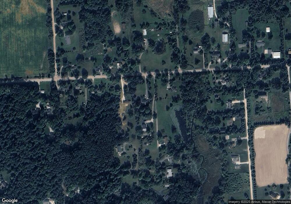
Map
Nearby Homes
- 2933 Bullard Rd
- NEC M-59 Fenton Rd
- 2581 Pepper Ct
- 12071 Highland Rd
- 2.03 Acres Highland Rd
- 12600 Hibner Rd
- 11639 Island Ct
- 12002 Renfrew Ct
- 1560 Odette
- 2255 Clark Rd
- 1552 Odette
- 1441 Remsing St Unit 4
- 4352 Fenton Rd
- V/L Highland Rd
- 11095 Hibner Rd
- 13541 Austin Ct
- 11111 Hibner Rd
- 4304 Woodcock Way
- 1410 Grebe Rd
- 978 Blue Heron Dr
- 12370 Dunham Rd
- 12350 Dunham Rd
- 12490 Dunham Rd
- 12378 Dunham Rd
- 12484 Dunham Rd
- 12359 Dunham Rd
- 12330 Dunham Rd
- 2712 Michelle
- 12373 Dunham Rd
- 2708 Michelle Unit Bldg-Unit
- 2708 Michelle
- 12300 Dunham Rd
- 12337 Dunham Rd
- 2975 Iris Ln
- 12525 Dunham Rd
- 2704 Michelle
- 12369 Dunham Rd
- 2700 Michelle
- 12290 Dunham Rd
- 12295 Dunham Rd