12370 Wolfe Blvd Millersport, OH 43046
Estimated Value: $369,000 - $590,000
3
Beds
3
Baths
1,740
Sq Ft
$260/Sq Ft
Est. Value
About This Home
This home is located at 12370 Wolfe Blvd, Millersport, OH 43046 and is currently estimated at $452,686, approximately $260 per square foot. 12370 Wolfe Blvd is a home located in Fairfield County with nearby schools including Millersport Elementary School and Millersport Jr/Sr High School.
Ownership History
Date
Name
Owned For
Owner Type
Purchase Details
Closed on
Jul 30, 2007
Sold by
Nebbergall Stacy L and Nebbergall Thomas Q
Bought by
Sisson Doug
Current Estimated Value
Home Financials for this Owner
Home Financials are based on the most recent Mortgage that was taken out on this home.
Original Mortgage
$162,000
Interest Rate
6.66%
Mortgage Type
Purchase Money Mortgage
Create a Home Valuation Report for This Property
The Home Valuation Report is an in-depth analysis detailing your home's value as well as a comparison with similar homes in the area
Home Values in the Area
Average Home Value in this Area
Purchase History
| Date | Buyer | Sale Price | Title Company |
|---|---|---|---|
| Sisson Doug | $180,000 | Landam-Lawyers East |
Source: Public Records
Mortgage History
| Date | Status | Borrower | Loan Amount |
|---|---|---|---|
| Previous Owner | Sisson Doug | $162,000 |
Source: Public Records
Tax History Compared to Growth
Tax History
| Year | Tax Paid | Tax Assessment Tax Assessment Total Assessment is a certain percentage of the fair market value that is determined by local assessors to be the total taxable value of land and additions on the property. | Land | Improvement |
|---|---|---|---|---|
| 2024 | $7,374 | $105,640 | $22,680 | $82,960 |
| 2023 | $4,678 | $105,090 | $22,680 | $82,410 |
| 2022 | $4,702 | $105,090 | $22,680 | $82,410 |
| 2021 | $3,978 | $78,230 | $18,900 | $59,330 |
| 2020 | $3,991 | $78,230 | $18,900 | $59,330 |
| 2019 | $3,992 | $78,230 | $18,900 | $59,330 |
| 2018 | $3,801 | $64,270 | $17,640 | $46,630 |
| 2017 | $3,802 | $66,300 | $17,640 | $48,660 |
| 2016 | $3,545 | $66,300 | $17,640 | $48,660 |
| 2015 | $3,504 | $64,310 | $17,640 | $46,670 |
| 2014 | $2,936 | $64,310 | $17,640 | $46,670 |
| 2013 | $2,936 | $64,310 | $17,640 | $46,670 |
Source: Public Records
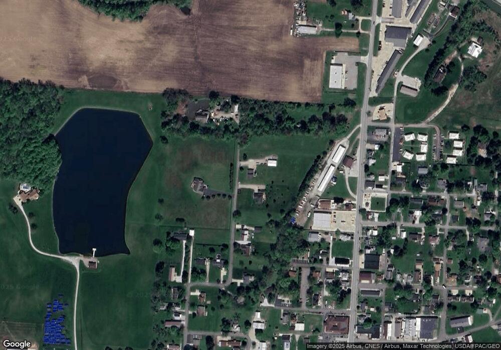
Map
Nearby Homes
- 2592 Summit St
- 2486 Mallard Point Ln
- 11999 Broad St
- 12291 Ohio Ave
- 2595 Canal Dr
- 2485 Mallard Point Ln
- 2484 Mallard Point Ln
- 12656 W Bank Dr NE
- 11751 Lancaster St
- 0 Blacklick-Eastern Rd NE
- 2583 Mallard Point Ln
- 12055 7th Ave
- 12580 W Bank Dr NE
- 12946 W Bank Dr NE
- 3317 S Bank Rd NE
- 3333 S Bank Rd NE
- 11253 Millersport Rd
- 13180 W Bank Dr NE
- 3424 S Bank Rd NE
- 3427 S Bank Rd NE
- 12340 Wolfe Blvd
- 0 Wolfe Blvd
- 12345 Wolfe Blvd
- 12300 Wolfe Blvd
- 12288 Wolfe Blvd
- 12411 Wolfe Blvd
- 12255 Lancaster St
- 12268 Wolfe Blvd
- 12275 Lancaster St
- 2438 Hancock St
- 12211 Lecrone Ave
- 12243 Wolfe Blvd
- 12325 Lancaster St
- 12395 Lancaster St
- 12225 Wolfe Blvd
- 12250 Wolfe Blvd
- 12225 Lecrone Ave
- 2460 Hancock St
- 2433 Hancock St
- 12245 Lancaster St